world.wikisort.org - USA
Stanton is a city in the U.S. state of Michigan. The population was 1,417 at the 2010 census. It is the county seat of Montcalm County.[4] It is located at the corners of four townships and incorporates land from each: Day Township to the northeast, Evergreen Township to the southeast, Sidney Township to the southwest, and Douglass Township to the northwest.
Stanton, Michigan | |
|---|---|
City | |
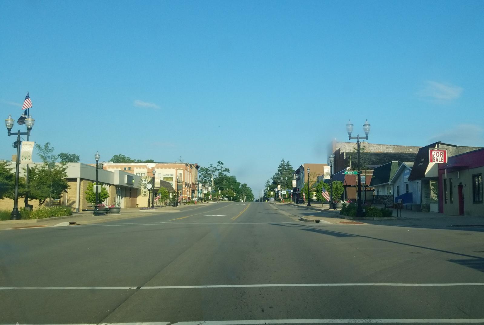 E Main Street in Stanton | |
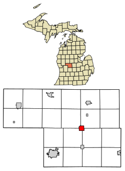 Location of Stanton within Montcalm County, Michigan | |
| Coordinates: 43°17′33″N 85°4′53″W | |
| Country | United States |
| State | Michigan |
| County | Montcalm |
| Founded | 1860 |
| Incorporated | 1869 (village) 1881 (city) |
| Government | |
| • Mayor | Lori Williams |
| Area | |
| • Total | 2.15 sq mi (5.57 km2) |
| • Land | 2.15 sq mi (5.56 km2) |
| • Water | 0.00 sq mi (0.01 km2) |
| Elevation | 915 ft (279 m) |
| Population (2020) | |
| • Total | 1,348 |
| • Density | 628.15/sq mi (242.51/km2) |
| Time zone | UTC-5 (Eastern (EST)) |
| • Summer (DST) | UTC-4 (EDT) |
| ZIP code | 48888 |
| Area code(s) | 989 |
| FIPS code | 26-76220[2] |
| GNIS feature ID | 638726[3] |
| Website | City website |
History
Stanton was organized in 1860 when the people of Montcalm County voted to move the county seat here from Greenville, which was the original county seat from 1840. At that time, the County Board purchased 40 acres (160,000 m2) from Fred Hall of Ionia and named the city "Fred" in his honor. The family of Levi Camburn was the first to settle here and he became its first postmaster on March 10, 1862. The city was renamed for Secretary of War, Edwin M. Stanton in 1863.[5] Stanton was platted in 1865, incorporated as a village in 1869, and as a city in 1881.[6] The Hotel Montcalm was established in 1863.[citation needed]
Geography
According to the United States Census Bureau, the city has a total area of 2.15 square miles (5.57 km2), all land.[7]
The Stanton post office, with ZIP code 48888, also serves portions of the four surrounding townships: Day Township to the northeast, Evergreen Township to the southeast, Sidney Township to the southwest, and Douglass Township to the northwest, as well as areas of Ferris Township to the east of Day, Belvidere Township to the north of Douglass, and Pine Township to the west of Douglass.[8]
Transportation
 M-66
M-66
Demographics
| Historical population | |||
|---|---|---|---|
| Census | Pop. | %± | |
| 1870 | 600 | — | |
| 1880 | 1,760 | 193.3% | |
| 1890 | 1,352 | −23.2% | |
| 1900 | 1,234 | −8.7% | |
| 1910 | 1,012 | −18.0% | |
| 1920 | 862 | −14.8% | |
| 1930 | 955 | 10.8% | |
| 1940 | 908 | −4.9% | |
| 1950 | 1,123 | 23.7% | |
| 1960 | 1,139 | 1.4% | |
| 1970 | 1,089 | −4.4% | |
| 1980 | 1,315 | 20.8% | |
| 1990 | 1,504 | 14.4% | |
| 2000 | 1,504 | 0.0% | |
| 2010 | 1,417 | −5.8% | |
| 2020 | 1,348 | −4.9% | |
| U.S. Decennial Census[9] | |||
2010 census
As of the census[10] of 2010, there were 1,417 people, 508 households, and 315 families living in the city. The population density was 659.1 inhabitants per square mile (254.5/km2). There were 579 housing units at an average density of 269.3 per square mile (104.0/km2). The racial makeup of the city was 93.8% White, 1.8% African American, 0.7% Native American, 0.2% Asian, 1.8% from other races, and 1.7% from two or more races. Hispanic or Latino of any race were 5.9% of the population.
There were 508 households, of which 32.7% had children under the age of 18 living with them, 39.6% were married couples living together, 17.9% had a female householder with no husband present, 4.5% had a male householder with no wife present, and 38.0% were non-families. 33.3% of all households were made up of individuals, and 16.3% had someone living alone who was 65 years of age or older. The average household size was 2.42 and the average family size was 3.01.
The median age in the city was 33.8 years. 23.9% of residents were under the age of 18; 11.6% were between the ages of 18 and 24; 29.5% were from 25 to 44; 21.3% were from 45 to 64; and 13.8% were 65 years of age or older. The gender makeup of the city was 50.6% male and 49.4% female.
2000 census
As of the census[2] of 2000, there were 1,504 people, 555 households, and 362 families living in the city. The population density was 701.6 per square mile (271.4/km2). There were 609 housing units at an average density of 284.1 per square mile (109.9/km2). The racial makeup of the city was 95.94% White, 0.20% African American, 0.40% Native American, 0.27% Asian, 1.13% from other races, and 2.06% from two or more races. Hispanic or Latino of any race were 4.85% of the population. 46.9% of the town was Finnish, the largest percentage of any populated place in the United States.[11]
There were 555 households, out of which 37.3% had children under the age of 18 living with them, 42.7% were married couples living together, 17.1% had a female householder with no husband present, and 34.6% were non-families. 29.7% of all households were made up of individuals, and 14.6% had someone living alone who was 65 years of age or older. The average household size was 2.54 and the average family size was 3.13.
In the city, the population was spread out, with 29.9% under the age of 18, 9.0% from 18 to 24, 31.9% from 25 to 44, 16.9% from 45 to 64, and 12.2% who were 65 years of age or older. The median age was 32 years. For every 100 females, there were 96.1 males. For every 100 females age 18 and over, there were 92.3 males.
The median income for a household in the city was $29,286, and the median income for a family was $39,688. Males had a median income of $32,569 versus $22,500 for females. The per capita income for the city was $13,901. About 17.8% of families and 21.7% of the population were below the poverty line, including 30.3% of those under age 18 and 12.2% of those age 65 or over.
Points of interest
- Mid Michigan Motorplex[12]
- Corporate Home to Casair, Inc.
References
- "2020 U.S. Gazetteer Files". United States Census Bureau. Retrieved May 21, 2022.
- "U.S. Census website". United States Census Bureau. Retrieved 2008-01-31.
- U.S. Geological Survey Geographic Names Information System: Stanton, Michigan
- "Find a County". National Association of Counties. Retrieved 2011-06-07.
- Epodunk. "Profile for Stanton, Michigan, MI". Archived from the original on 29 August 2016. Retrieved 29 April 2012.
- Romig, Walter (1986) [1973]. Michigan Place Names. Detroit, Michigan: Wayne State University Press. ISBN 0-8143-1838-X.
- "US Gazetteer files 2010". United States Census Bureau. Archived from the original on 2013-04-01. Retrieved 2012-11-25.
- ZCTA Reference Map for 48888 Archived 2020-02-12 at archive.today, U.S. Census Bureau, 2000 census
- "Census of Population and Housing". Census.gov. Retrieved June 4, 2015.
- "U.S. Census website". United States Census Bureau. Retrieved 2012-11-25.
- Census Viewer. "Population of the City of Stanton, Michigan". Retrieved 29 April 2012.
- Mid Michigan Motorplex Accessed 9 Feb. 2014.
Municipalities and communities of Montcalm County, Michigan, United States | ||
|---|---|---|
County seat: Stanton | ||
| Cities |  | |
| Villages | ||
| Charter township | ||
| General law townships | ||
| CDPs | ||
| ||
Другой контент может иметь иную лицензию. Перед использованием материалов сайта WikiSort.org внимательно изучите правила лицензирования конкретных элементов наполнения сайта.
WikiSort.org - проект по пересортировке и дополнению контента Википедии