world.wikisort.org - USA
Maine is a state located in Northeastern United States. According to the 2010 United States Census, Maine is the 9th least populous state, with 1,372,247 inhabitants, and the 12th smallest by land area spanning 30,842.92 square miles (79,882.8 km2) of land.[1] Maine is divided into 16 counties and contains 483 incorporated municipalities consisting of cities, towns, and plantations.[2]
This article may require cleanup to meet Wikipedia's quality standards. The specific problem is: The different types of municipality should be combined into one sortable table. (September 2022) |
As of 2022, Maine has 23 incorporated cities, 430 towns, and 30 plantations, listed in the below tables.
List of cities
 Portland
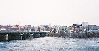 Lewiston
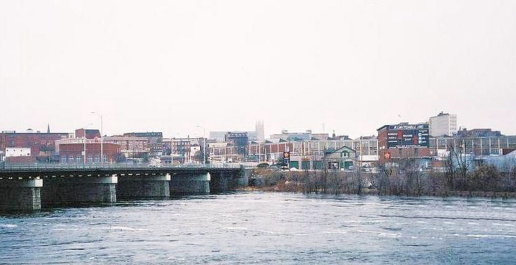
 Bangor
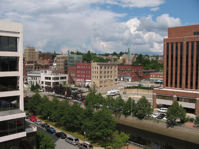
 Augusta
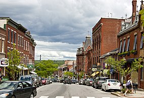 Belfast


The list, for each city, shows the population in 2010, the population estimate of 2019, the growth/shrinking percentage between the three, and the date of incorporation as a city.
† County seat
†† State capital and county seat
| Rank | City | County | Population | Incorporation | Land area (sq mi) | Population density (per sq mi) | |||
|---|---|---|---|---|---|---|---|---|---|
| 2020 Census | 2010 Census | Change | Town | City | |||||
| 1 | Portland † | Cumberland | 68,408 | 66,194 | +3.3% | 1786 | 1833 | 21.6 | 3,167 |
| 2 | Lewiston | Androscoggin | 37,121 | 36,592 | +1.4% | 1795 | 1862 | 34.2 | 1,085 |
| 3 | Bangor † | Penobscot | 31,753 | 33,039 | −3.9% | 1791 | 1834 | 34.3 | 926 |
| 4 | South Portland | Cumberland | 26,498 | 25,002 | +6.0% | 1895 | 1898 | 12.1 | 2,190 |
| 5 | Auburn † | Androscoggin | 24,061 | 23,055 | +4.4% | 1842 | 1868 | 59.3 | 406 |
| 6 | Biddeford | York | 22,552 | 21,277 | +2.0% | 1653 | 1855 | 30.1 | 749 |
| 7 | Sanford | York | 21,982 | 20,798 | +5.7% | 1768 | 2013 | 47.8 | 460 |
| 8 | Westbrook | Cumberland | 20,400 | 17,494 | +16.6% | 1775 | 1867 | 38.6 | 528 |
| 9 | Saco | York | 20,381 | 18,482 | +10.3% | 1814 | 1891 | 17.2 | 1,185 |
| 10 | Augusta †† | Kennebec | 18,899 | 19,136 | −1.2% | 1797 | 1849 | 55.2 | 342 |
| 11 | Waterville | Kennebec | 15,828 | 15,722 | +0.7% | 1802 | 1888 | 13.5 | 1,172 |
| 12 | Brewer | Penobscot | 9,672 | 9,482 | +2.0% | 1812 | 1889 | 15.2 | 636 |
| 13 | Presque Isle | Aroostook | 8,797 | 9,692 | −9.2% | 1859 | 1940 | 75.8 | 116 |
| 14 | Bath † | Sagadahoc | 8,766 | 8,514 | +3.0 | 1781 | 1847 | 9.1 | 963 |
| 15 | Ellsworth † | Hancock | 8,399 | 7,741 | +8.5% | 1800 | 1869 | 79.3 | 105 |
| 16 | Caribou | Aroostook | 7,396 | 8,189 | −9.7% | 1859 | 1967 | 79.3 | 93 |
| 17 | Old Town | Penobscot | 7,431 | 7,840 | −5.2% | 1840 | 1891 | 38.8 | 192 |
| 18 | Belfast † | Waldo | 6,938 | 6,668 | +4.0% | 1848 | 1854 | 12.8 | 542 |
| 19 | Rockland † | Knox | 6,936 | 7,297 | −4.9% | 1773 | 1850 | 34.0 | 204 |
| 20 | Gardiner | Kennebec | 5,961 | 5,800 | −2.8% | 1803 | 1849 | 15.7 | 379 |
| 21 | Calais | Washington | 3,079 | 3,123 | −1.4% | 1809 | 1850 | 34.3 | 90 |
| 22 | Hallowell | Kennebec | 2,570 | 2,381 | +7.9% | 1771 | 1852 | 5.9 | 436 |
| 23 | Eastport | Washington | 1,288 | 1,331 | −3.2% | 1798 | 1893 | 3.6 | 358 |
List of towns
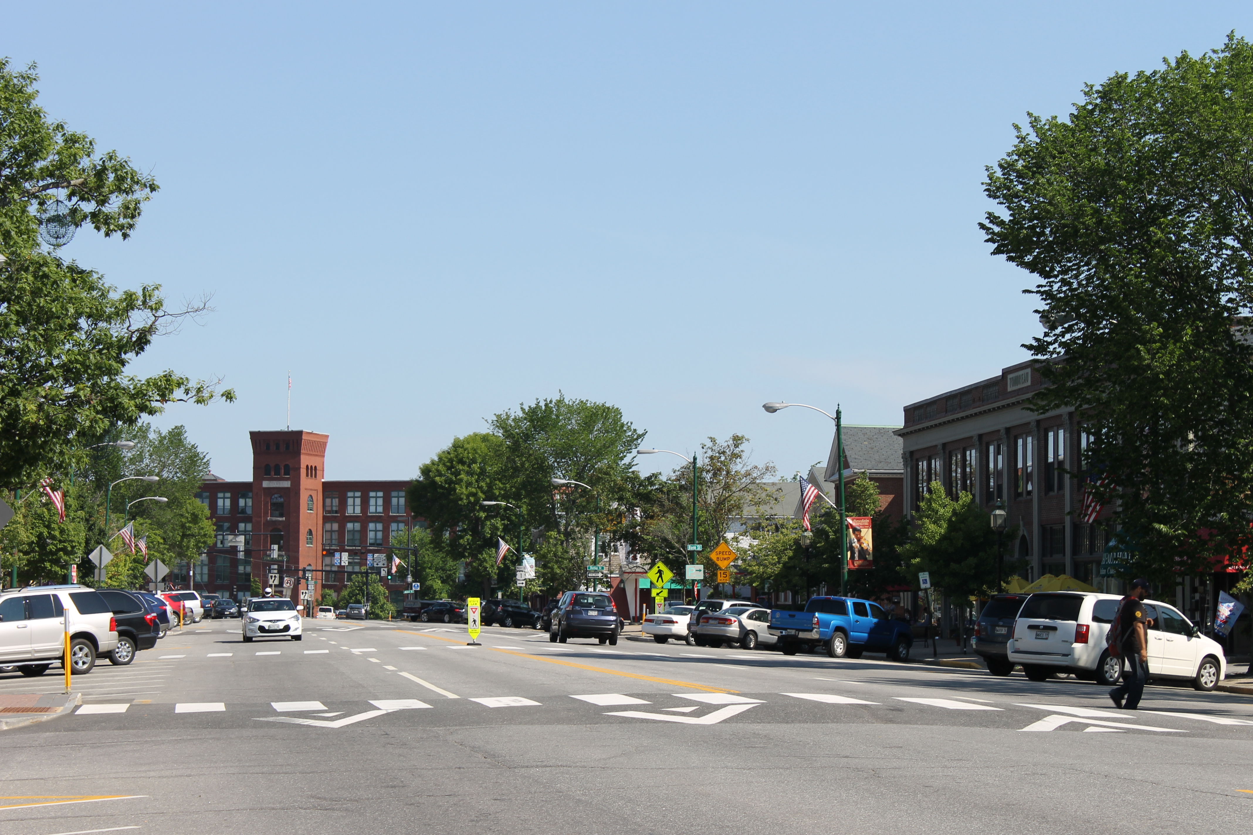
 Brunswick
 Farmington
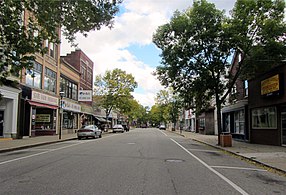 Rumford
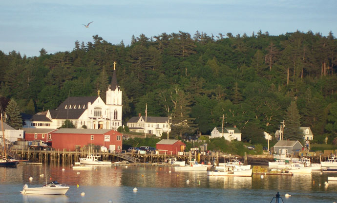
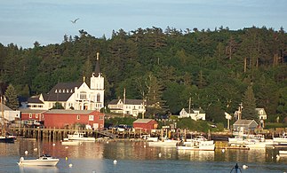 Boothbay Harbor
 Machias


This is a list of incorporated towns in Maine presented in a table sortable by name, county, or population.
† County seat
List of plantations
 Dallas Plantation
 Rangeley Plantation
 Monhegan
 Lincoln Plantation


In Maine, a plantation is an organized form of municipal self-government similar to but with less power than a town or a city. One difference is that plantations cannot make local ordinances. Unlike towns or cities, with few exceptions, this type of municipality usually includes the word Plantation as part of its full name, which is also commonly used locally. There are some exceptions such as Monhegan Island Plantation, which is most commonly known as Monhegan.
See also
- List of places in Maine
- List of counties in Maine
- List of unorganized territories in Maine
- Minor civil division
- Township
- List of cities in the United States
- New England town
- List of New England towns
References
- "GCT-PH1 – Population, Housing Units, Area, and Density: 2010 – State — P900lace and (in selected states) County Subdivision". 2010 United States Census. United States Census Bureau. Archived from the original on February 13, 2020. Retrieved August 25, 2016.
- "Maine: 2010 Population and Housing Unit Counts 2010 Census of Population and Housing" (PDF). 2010 United States Census. United States Census Bureau. September 2012. p. III-2. Retrieved August 25, 2016.
External links
Другой контент может иметь иную лицензию. Перед использованием материалов сайта WikiSort.org внимательно изучите правила лицензирования конкретных элементов наполнения сайта.
WikiSort.org - проект по пересортировке и дополнению контента Википедии