world.wikisort.org - USA
The Hagerstown–Martinsburg Metropolitan Area, officially designated by the United States Office of Management and Budget (OMB) as Hagerstown–Martinsburg, Maryland–West Virginia Metropolitan Statistical Area (MSA), constitutes the primary cities of Hagerstown, Maryland; Martinsburg, West Virginia; and surrounding areas in three counties: Washington County, Maryland; Berkeley County, West Virginia; and Morgan County, West Virginia. The metro area lies mainly within the rich, fertile Cumberland and Shenandoah valleys, and is approximately a 60–90 minute drive from Washington, D.C.; Baltimore, Maryland; and Harrisburg, Pennsylvania; Hagerstown is approximately 75 miles (121 km) driving distance from all three cities. The population of the metropolitan area as of 2008 is 263,753.[1]
Hagerstown metropolitan area | |
|---|---|
Metropolitan statistical area | |
| Hagerstown–Martinsburg, Maryland–West Virginia Metropolitan Statistical Area | |
| Coordinates: 39°37′00″N 77°47′00″W | |
| Country | United States |
| State(s) | - Maryland - West Virginia |
| Largest city | Hagerstown |
| Other cities | - Martinsburg - Halfway |
| Area | |
| • Total | 1,019 sq mi (2,640 km2) |
| Highest elevation | N/A ft (N/A m) |
| Lowest elevation | 0 ft (0 m) |
| Population | |
| • Total | 263,753 (2,008 est.) |
| • Rank | 169th in the U.S. |
| • Density | 258.84/sq mi (99.91/km2) |
Counties
| County | 2021 Estimate | 2020 Census | Change |
|---|---|---|---|
| Washington County | 154,937 | 154,705 | +0.15% |
| Berkeley County | 126,069 | 122,076 | +3.27% |
| Morgan County | 17,221 | 17,063 | +0.93% |
| Total | 298,227 | 293,844 | +1.49% |
Communities
Washington County (2008 population estimate 145,384)[2]
City:
- Hagerstown (Primary City) (2017 population estimate 140,728)[3]
Towns:
Census Designated Places (CDPs):
|
Other unincorporated communities:
|
|
|
Berkeley County (2008 population estimate 102,044)[4]
City:
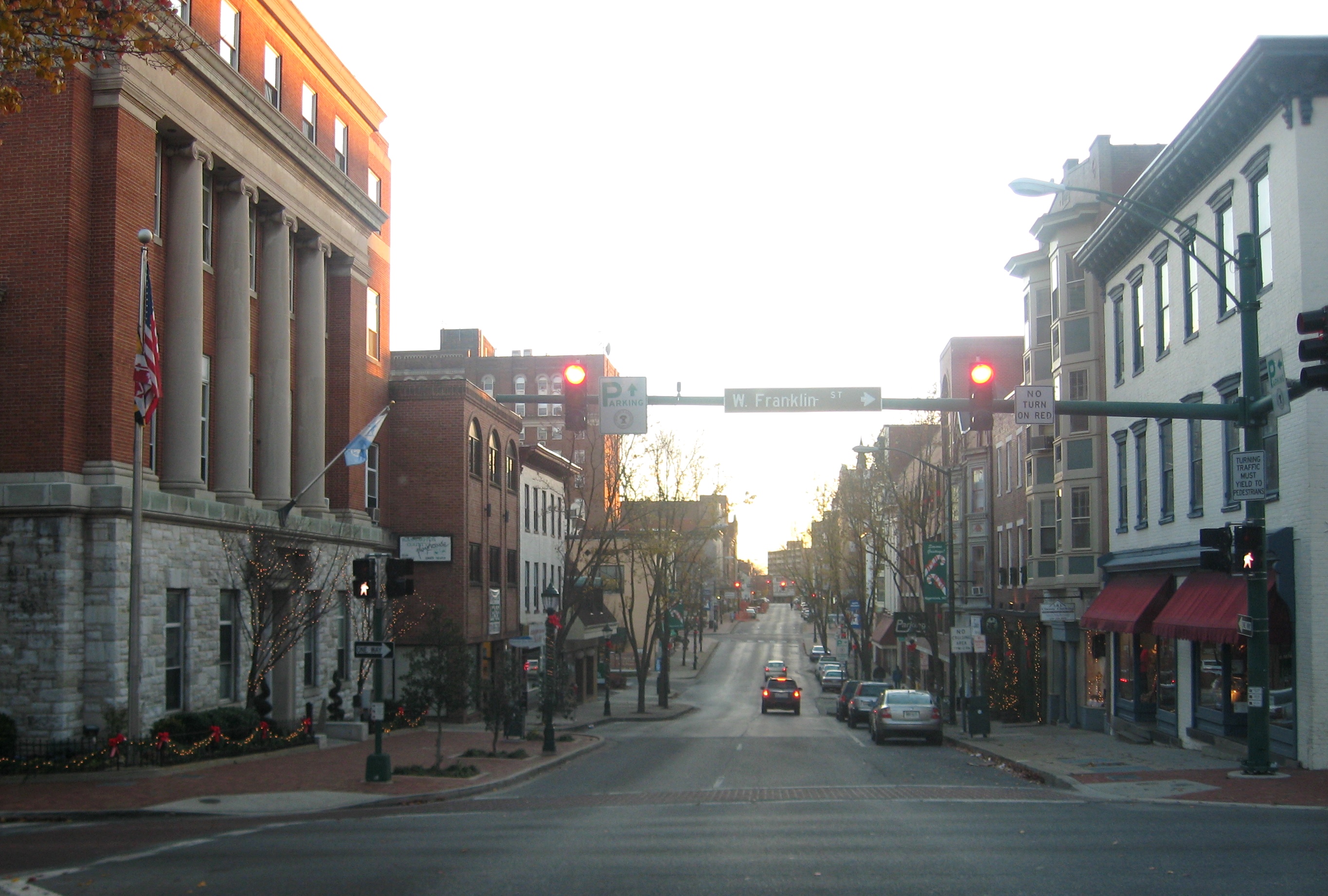
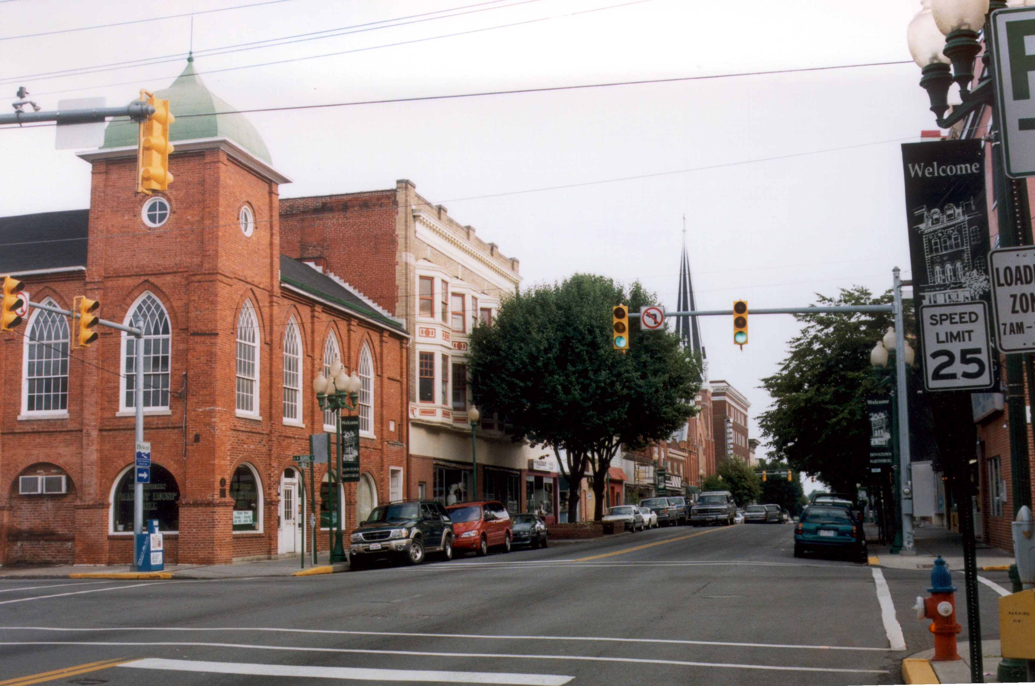
- Martinsburg (Primary City) (2008 population estimate 17,020)[5]
Town:
Unincorporated communities:
Morgan County (2008 population estimate 16,325)[4]
Towns:
- Bath (Berkeley Springs)
- Paw Paw
Unincorporated communities:
|
Urban areas
The metropolitan area contains parts of or all of the following Urbanized Areas and Urban Clusters (that are likewise designated by the OMB) within its boundaries:
- Hagerstown, MD–WV–PA Urbanized Area (2000 Census population 120,326)[6] (part)
- Waynesboro, PA-MD Urban Cluster (2000 population 22,140)[7] (part)
- Inwood, WV Urban Cluster (2000 population 7,784)[8] (all)
- Boonsboro, MD Urban Cluster (2000 population 3,412)[9][10] (all)
Geography
Hagerstown–Martinsburg, MD–WV Metropolitan Statistical Area (MSA) covers an area of 1,019 square miles (2,640 km2).
The MSA is roughly bordered to the east by South Mountain, to the west by Sideling Hill, to the north by the Mason–Dixon line, and to the south by Northern Virginia. Elevations run from about 250 feet (76 m) above sea level in low-lying valleys to approximately 1,250 feet (380 m) above sea level at Sideling Hill. The Potomac River runs from west to east through the heart of the metro area with tributaries including Sideling Hill Creek, Conococheague Creek, and Antietam Creek. Terrain in the region is very well-suited and used for dairy farming, cornfields, and fruit orchards. Some undeveloped deciduous forestry also exists, especially in the mountainous portions of the area. However, much of the region's land is becoming increasingly threatened by urban sprawl.
Hagerstown and Martinsburg are situated in the transition between the humid subtropical climate zone (Köppen Cfa) and the humid continental climate zone (Köppen Dfa), with hot, humid summers and cool to moderately cold winters where average annual snowfall is around 20 inches and temperatures below 15 °F (−9 °C) are annual occurrences.
Demographics
The metropolitan area's population in 2000 was 222,771. The 2008 estimate is 263,753, making Greater Hagerstown-Martinsburg the 169th largest metropolitan area in the United States. The growth rate from 2000–2008 is +18.4%, meaning that the metro area is the 48th fastest growing MSA (out of 363 total MSAs) in the entire country and the most rapidly growing in Maryland and West Virginia from 2000 to 2008.[11] Metropolitan Hagerstown-Martinsburg also registered a higher net numerical population gain from 2006 to 2007 than Baltimore-Towson, MD MSA during the same time period.[12] Much of the growth is due to the influx of people from Washington, D.C. and, to a lesser extent, Baltimore.
Transportation
Major highways
|
|
|
|
|
|
Airports

Hagerstown Regional Airport (IATA: HGR, ICAO: KHGR), also known as Richard A. Henson Field provides passenger service for the Hagerstown Metro Area residents
The Eastern West Virginia Regional Airport (IATA: MRB, ICAO: KMRB), just south of Martinsburg is a designated general aviation reliever facility and also home to the West Virginia Air National Guard's 167th Airlift Wing flying the C-17 Globemaster III.
Mass transit
- MARC Train and Amtrak (Martinsburg)
- Greyhound and Atlantic Charter Buses
- County Commuter (Hagerstown-Washington County)
- Eastern Panhandle Transit Authority "Pan Tran" (Martinsburg-Berkeley County-Jefferson County)
- Miller Cabs, Downtown Taxi! and Turner Vans (Hagerstown)
Education and healthcare
Colleges and universities
- Antietam Bible College, Biblical Seminary, and Graduate School, Hagerstown
- Hagerstown Community College
- Kaplan University, Hagerstown Campus (former)
- Mount Saint Mary's University, Hagerstown Campus
- University System of Maryland at Hagerstown
- Vinayaka Missions America University, Hagerstown
- Blue Ridge Community and Technical College, Martinsburg
- James Rumsey Technical Institute, Martinsburg
- Valley College of Technology, Martinsburg Campus
- University of Charleston Martinsburg Campus
- Shepherd University Martinsburg Center
- Kee Mar College, former women's college
Hospitals
- Brook Lane Psychiatric Center – Hagerstown
- Meritus Hospital – Hagerstown
- Western Maryland Hospital Center – Hagerstown
- Berkeley Medical Center – Martinsburg
- Veterans Affairs Medical Center – Martinsburg
- Veterans Affairs Community Based Outpatient Clinic – Hagerstown
- War Memorial Hospital – Berkeley Springs
Media
Radio
Television
|
|
|
|
Major newspapers
- The Herald-Mail, Hagerstown
- The Journal, Martinsburg
See also
- Maryland census statistical areas
- West Virginia census statistical areas
- Table of United States Metropolitan Statistical Areas (MSAs)
- Table of United States Core Based Statistical Areas (CBSAs)
- Table of United States primary census statistical areas (PCSAs)
References
- Table 1. Annual Estimates of the Population of Metropolitan and Micropolitan Statistical Areas: April 1, 2000 to July 1, 2008 Archived November 14, 2011, at the Wayback Machine, U.S. Census Bureau, 2009. Retrieved 2009.
- Table 1: Annual Estimates of the Resident Population for Counties of Maryland: April 1, 2000 to July 1, 2008, U.S. Census Bureau, 2009. Retrieved April 23, 2009.
- Table 4: Annual Estimates of the Resident Population for Incorporated Places in Maryland, Listed Alphabetically: April 1, 2000 to July 1, 2008, U.S. Census Bureau, 2008. Released July 1, 2009. Retrieved July 1, 2009.
- Table 1: Annual Estimates of the Resident Population for Counties of West Virginia: April 1, 2000 to July 1, 2008, U.S. Census Bureau, 2009. Retrieved April 23, 2009.
- Table 4: Annual Estimates of the Resident Population for Incorporated Places in West Virginia, Listed Alphabetically: April 1, 2000 to July 1, 2008, U.S. Census Bureau. 2009-07-01. Retrieved 2009-07-01
- , Census Bureau 2000. Retrieved 2008.
- , Census Bureau 2000. Retrieved 2008.
- , Census Bureau 2000. Retrieved 2008.
- , Census Bureau 2000. Retrieved 2008.
- , Demographia 2000. Retrieved 2008.
- Table 7. Cumulative Estimates of Population Change for Metropolitan Statistical Areas and Rankings: April 1, 2000 to July 1, 2008 Archived June 4, 2011, at the Wayback Machine, Census Bureau 2009. Retrieved 2009.
- , Census Bureau 2000. Retrieved 2008.
External links
- Hagerstown-Washington County Convention & Visitor's Bureau
- Hagerstown-Washington County Chamber of Commerce
- Martinsburg-Berkeley County Convention & Visitors Bureau
- Chamber of Commerce of Martinsburg and Berkeley County
- MorganCountyUSA
- Berkeley Springs-Morgan County Chamber of Commerce
Municipalities and communities of Washington County, Maryland, United States | ||
|---|---|---|
County seat: Hagerstown | ||
| City |  | |
| Towns | ||
| CDPs |
| |
| Other communities | ||
| ||
Municipalities and communities of Berkeley County, West Virginia, United States | ||
|---|---|---|
County seat: Martinsburg | ||
| City |  | |
| Town | ||
| CDPs | ||
| Unincorporated communities |
| |
| Ghost town |
| |
| ||
Municipalities and communities of Morgan County, West Virginia, United States | ||
|---|---|---|
County seat: Berkeley Springs | ||
| Towns |  | |
| CDP | ||
| Unincorporated communities |
| |
| ||
Eastern Panhandle of West Virginia | ||
|---|---|---|
| Regions |
|  |
| Counties | ||
| Communities |
| |
| Attractions and natural features |
| |
State of West Virginia | |
|---|---|
Charleston (capital) | |
| Topics |
|
| Society |
|
| Insignia |
|
| Regions |
|
| Metro areas |
|
| Largest cities | |
| Counties |
|
Authority control | |
|---|---|
| General |
|
| Other | |
Другой контент может иметь иную лицензию. Перед использованием материалов сайта WikiSort.org внимательно изучите правила лицензирования конкретных элементов наполнения сайта.
WikiSort.org - проект по пересортировке и дополнению контента Википедии