world.wikisort.org - USA
Freeport is a city in Brazoria County, Texas, United States, located on the Gulf of Mexico. According to the 2020 census, the city population was 10,696,[5] down from 12,049 in 2010.
Freeport, Texas | |
|---|---|
City | |
| Motto: "Where Fun Happens"[1] | |
 Location in the state of Texas | |
 | |
 Freeport  Freeport | |
| Coordinates: 28°57′34″N 95°21′25″W | |
| Country | United States |
| State | Texas |
| County | Brazoria |
| Incorporated | February 10, 1917 |
| Government | |
| • Type | Council-Manager |
| • City Council | Mayor Brooks Bass Jeff Peña Jerry Cain Mario Muraira Troy Brimage |
| • City Manager | Tim Kelty |
| Area | |
| • Total | 17.70 sq mi (45.84 km2) |
| • Land | 15.40 sq mi (39.88 km2) |
| • Water | 2.30 sq mi (5.96 km2) |
| Elevation | 5 ft (2 m) |
| Population (2020) | |
| • Total | 10,696 |
| • Density | 788.15/sq mi (304.31/km2) |
| Time zone | UTC-6 (CST) |
| • Summer (DST) | UTC-5 (CDT) |
| ZIP codes | 77541-77542 |
| Area code | 979 |
| FIPS code | 48-27420[3] |
| GNIS feature ID | 1357720[4] |
| Website | www |
History
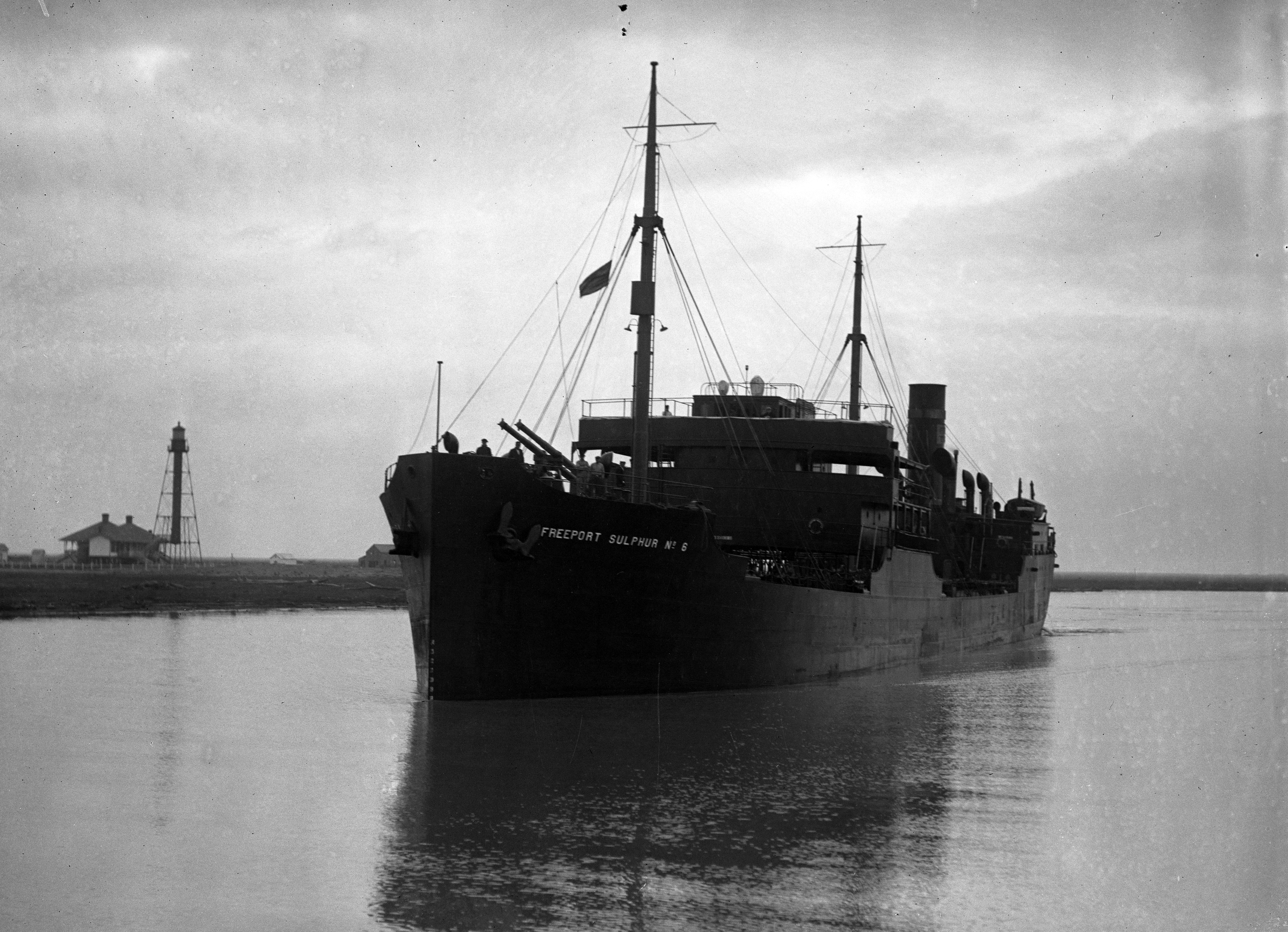
Freeport was founded as a European-American settlement in November 1912 by the Freeport Sulphur Company.[6] The population was 300. However, by 1929, that population had grown to 3,500, and to 4,100 by 1939, influencing a steady increase of economic expansion in Freeport.[7]
By 1937, a Freeport School District had been established, consisting of several segregated schools and 27 teachers. There were two white schools, one black school, and a white high school.[7]
Freeport's most substantial economic growth began with the construction of Dow Chemical Company facilities in the city during 1939. This company is the community's largest employer.[7] Freeport has the company's largest single manufacturing site in the 21st century.[8]
In July 1957, Freeport merged with Velasco, Texas. This had been a temporary capital of the Republic of Texas during the 19th century. Soon thereafter, Freeport's population numbered 11,619.[7] In 2003, the city annexed nearby Bryan Beach.[citation needed]
Economy
Port Freeport is a seaport on the Gulf of Mexico and is currently ranked 26th in international tonnage. The associated chemical plants provide a stable economy. Freeport is the site of the Dow Chemical Company's Texas Operations facility, which is the company's largest integrated site.[8]
Geography
Freeport is located in southern Brazoria County at 28°57′34″N 95°21′25″W (28.959527, –95.356941),[9] near the mouth of the Brazos River in the Gulf of Mexico. In 2003, the city annexed 3.5 miles (5.6 km) of beach bounded on the northeast by the village of Quintana and continuing southwest to the mouth of the Brazos River. This beach is known as Bryan Beach. It is just a few miles away from Surfside and Quintana beaches.
Texas State Highway 288, the Nolan Ryan Expressway, leads north from Freeport 17 miles (27 km) to Angleton, the county seat, and 61 miles (98 km) to downtown Houston. Texas State Highway 36 leads northwest 15 miles (24 km) to Brazoria.
According to the United States Census Bureau, Freeport has a total area of 17.1 square miles (44.2 km2), of which 14.9 square miles (38.7 km2) is land and 2.1 square miles (5.5 km2), or 12.36%, is water.[5]
Demographics
| Historical population | |||
|---|---|---|---|
| Census | Pop. | %± | |
| 1920 | 1,798 | — | |
| 1930 | 3,162 | 75.9% | |
| 1940 | 2,579 | −18.4% | |
| 1950 | 6,012 | 133.1% | |
| 1960 | 11,619 | 93.3% | |
| 1970 | 11,997 | 3.3% | |
| 1980 | 13,444 | 12.1% | |
| 1990 | 11,389 | −15.3% | |
| 2000 | 12,708 | 11.6% | |
| 2010 | 12,049 | −5.2% | |
| 2020 | 10,696 | −11.2% | |
| U.S. Decennial Census[10] | |||
| Race | Number | Percentage |
|---|---|---|
| White (NH) | 2,423 | 22.65% |
| Black or African American (NH) | 1,125 | 10.52% |
| Native American or Alaska Native (NH) | 32 | 0.3% |
| Asian (NH) | 53 | 0.5% |
| Some Other Race (NH) | 26 | 0.24% |
| Mixed/Multi-Racial (NH) | 239 | 2.23% |
| Hispanic or Latino | 6,798 | 63.56% |
| Total | 10,696 |
As of the 2020 United States census, there were 10,696 people, 4,224 households, and 2,993 families residing in the city.
According to the census[3] numbers as of 2016, there were 12,153 people, 3,788 households with an average of 3.17 persons per household. The median gross rent was $711.00 and the owner-occupied housing rate was 49.5%. The racial makeup of the city was 33.2% non-Hispanic White, 13.9% African American, 0.56% Native American, 0.35% Asian, 0.01% Pacific Islander, 20.91% from other races, and 3.24% from two or more races. Hispanic or Latino of any race were 52.0% of the population. Languages spoken in the household other than English is 49.4%.
The mean travel time to work for workers age 16+ was 15.2 minutes. In 2012, there were approximately 1,230 businesses in Freeport with women owning 552.
In the city, the median age for females is 29 years old and for males is 28. 34.1% of the population is 18 years of age or younger.
The median income for a household in the city was $36,044. The per capita income for the city was $17,707. About 27.5% of families were below the poverty line.[14]
Government
Freeport is in the 14th congressional district,[15] and is represented by Congressman Randy Weber.
Media
The Brazosport Facts in Clute is a local paper. It was headquartered in Freeport until the move to Clute in 1976.[16]
The Houston Chronicle is the metropolitan area newspaper.
Education
Public education
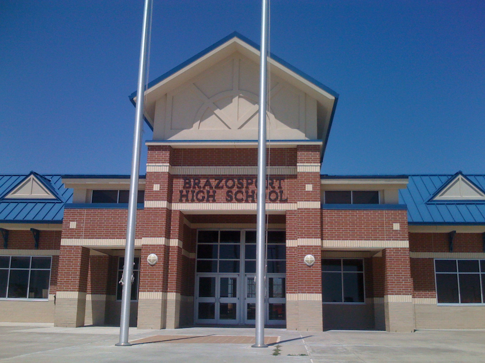
Schools in Freeport include Brazosport High School (Grades 9–12), Freeport Intermediate School (Grades 7–8), Lanier Middle School (Grades 5–6), Freeport Elementary, and Velasco Elementary School (Grades Pre-K–4). They are all maintained through Brazosport Independent School District.[17]
- The $19.2 million Freeport Elementary facility opened in 2018. VLK Architects designed the building. The student capacity is 750.[18]
- Velasco Elementary was a Kindergarten through grade 4 school until 2017, when it became a grade 2–4 school for all of Freeport. Grades K–1 were moved to O. A. Fleming Elementary, which was scheduled to close in 2018 and be replaced by Freeport Elementary.[18]
Previously Freeport had O.A. Fleming Elementary School (PK–1),[19] and Jane Long Elementary School (grades 2–4).[20] Jane Long was scheduled to close in 2017, with Fleming taking grades K–1 and Velasco Elementary taking over grades 2–4. Fleming was scheduled to close when the new Freeport Elementary School opened in 2018.[18]
Tertiary education
It is within the zone for Brazosport College.[21] The Texas Legislature designated the Brazosport ISD as in the Brazosport College zone.[22]
Libraries
The Freeport Library is a part of the Brazoria County Library System.[23]
Climate
The climate in this area is characterized by hot, humid summers and generally mild to cool winters. According to the Köppen Climate Classification system, Freeport has a humid subtropical climate, abbreviated "Cfa" on climate maps.[24]
References
- "The City of Freeport Texas". The City of Freeport Texas. Retrieved October 19, 2012.
- "2019 U.S. Gazetteer Files". United States Census Bureau. Retrieved August 7, 2020.
- "U.S. Census website". United States Census Bureau. Retrieved 2008-01-31.
- "US Board on Geographic Names". United States Geological Survey. 2007-10-25. Retrieved 2008-01-31.
- "Geographic Identifiers: 2010 Demographic Profile Data (G001): Freeport city, Texas". U.S. Census Bureau, American Factfinder. Archived from the original on February 12, 2020. Retrieved April 16, 2014.
- Haynes, Williams (1959). Brimstone, The Stone That Burns. Princeton: D. Van Norstrand Company, Inc. pp. 75–85.
- Freeport, TX, Handbook of Texas, Retrieved 12 August 2007.
- "Texas Operation – Freeport, Texas" (PDF). Dow Chemical Company. Retrieved 2011-01-09.
- "US Gazetteer files: 2010, 2000, and 1990". United States Census Bureau. 2011-02-12. Retrieved 2011-04-23.
- "Census of Population and Housing". Census.gov. Retrieved June 4, 2015.
- "Explore Census Data". data.census.gov. Retrieved 2022-05-23.
- https://www.census.gov/ [not specific enough to verify]
- "About the Hispanic Population and its Origin". www.census.gov. Retrieved 18 May 2022.
- §https://www.census.gov/quickfacts/fact/table/freeportcitytexas/PST045216
- "Archived copy". Archived from the original on 2009-03-24. Retrieved 2009-05-16.
{{cite web}}: CS1 maint: archived copy as title (link) - "The History of The Facts". Brazosport Facts. Archived from the original on 2015-08-31. Retrieved 2012-07-06.
- "Brazosport Independent School District". Brazosport Independent School District. Archived from the original on May 17, 2014. Retrieved October 19, 2012.
- Calahan, Erinn (2017-04-05). "BISD breaks ground on new Freeport Elementary campus". Brazosport Facts. Retrieved 2020-06-17.
- "Elementary Boundary Zones" (PDF). Brazosport Independent School District. Retrieved 2020-06-17. - Compare to a map of the Surfside Beach city limits.
- "Brazosport ISD School Feeder Patterns". Brazosport Independent School District. Archived from the original on 2017-04-02. Retrieved 2020-06-17.
- "Brazosport College Map" (PDF). Brazoria County Appraisal District. Retrieved 2020-06-18.
- Texas Education Code Sec. 130.170. BRAZOSPORT COLLEGE DISTRICT SERVICE AREA.
- "Brazoria County Library System". Brazoria County Library System. Archived from the original on October 31, 2012. Retrieved October 19, 2012.
- Climate Summary for Freeport, Texas
External links
- City of Freeport official website
- Brazosport ISD
- Port Freeport
- Historic materials about Freeport, hosted by the Portal to Texas History
- Handbook of Texas: Freeport
- The Portal of Texas History
- Brazosport College
- City-Data.com
- Podunk: Profile for Freeport, Texas
- Final Report Freeport Harbor, Texas Channel Improvement Project Communication from the Assistant Secretary, Army, Civil Works, the Department of Defense Transmitting the Freeport Harbor Channel Improvement Project, Brazoria County, Texas Feasibility Report and Environmental Impact Statement, Part 1 Part 2
Municipalities and communities of Brazoria County, Texas, United States | ||
|---|---|---|
County seat: Angleton | ||
| Cities |  | |
| Towns | ||
| Villages | ||
| CDPs | ||
| Other communities |
| |
| Ghost towns |
| |
| Footnotes | ‡This populated place also has portions in an adjacent county or counties | |
| ||
| Counties |  | |
|---|---|---|
| "Principal" cities | ||
| Other cities |
For a complete listing, see list of cities and towns in Houston–The Woodlands–Sugar Land MSA | |
| Unincorporated areas |
| |
| Bodies of water | ||
State of Texas | |
|---|---|
Austin (capital) | |
| Topics |
|
| Society |
|
| Regions |
|
| Metropolitan areas |
|
| Counties | See: List of counties in Texas |
Authority control | |
|---|---|
| General | |
| National libraries | |
| Other |
|
На других языках
[de] Freeport (Texas)
Freeport ist eine Stadt im Brazoria County des US-Bundesstaats Texas in den Vereinigten Staaten.- [en] Freeport, Texas
Другой контент может иметь иную лицензию. Перед использованием материалов сайта WikiSort.org внимательно изучите правила лицензирования конкретных элементов наполнения сайта.
WikiSort.org - проект по пересортировке и дополнению контента Википедии