world.wikisort.org - USA
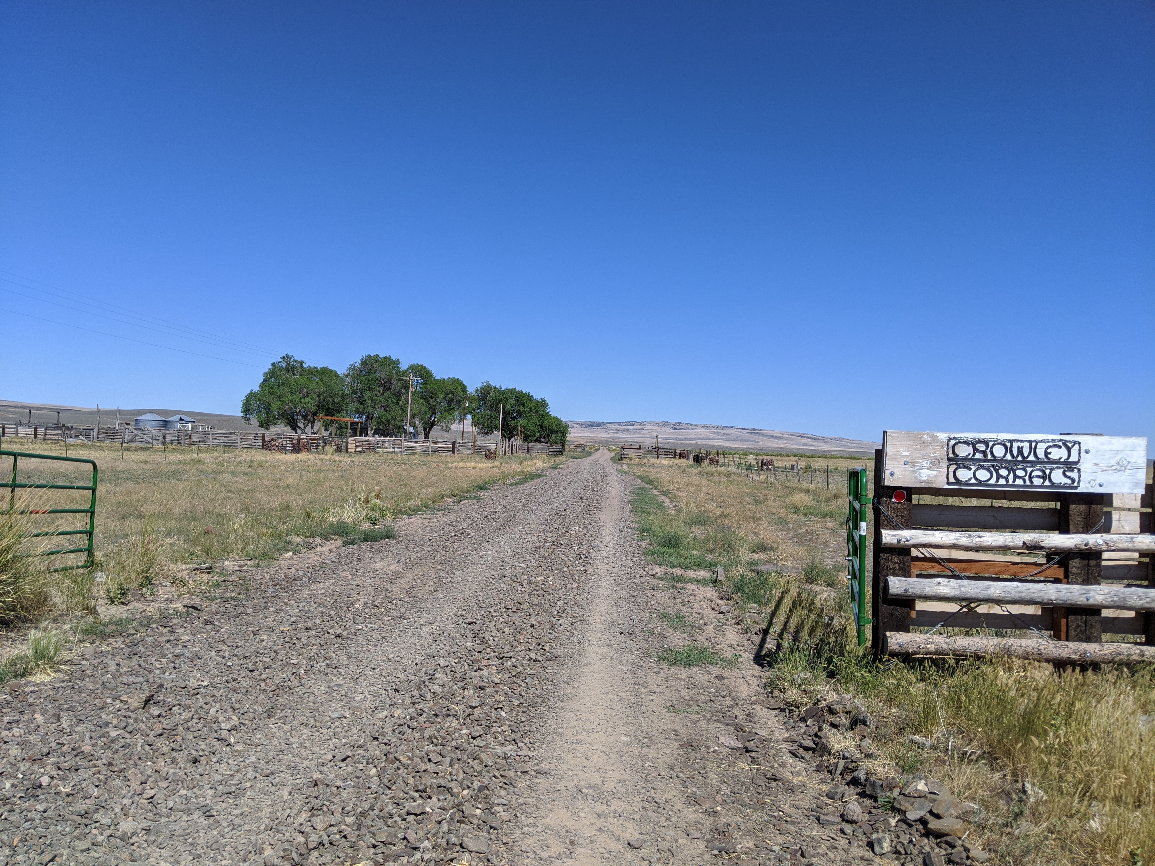
Crowley is an unincorporated community in Malheur County, Oregon, United States.[1] It lies along Crowley Road, north of Oregon Route 78, about 50 miles (80 km) east of Crane.[2] Crowley Ranch and Crowley Ranch Airstrip are nearby.[2]
Crowley, Oregon | |
|---|---|
Unincorporated community | |
 Crowley, Oregon Location within the state of Oregon  Crowley, Oregon Crowley, Oregon (the United States) | |
| Coordinates: 43°17′30″N 117°53′40″W | |
| Country | United States |
| State | Oregon |
| County | Malheur |
| Elevation | 4,078 ft (1,243 m) |
| Time zone | UTC−07:00 (Mountain) |
| • Summer (DST) | UTC−06:00 (Mountain) |
| Area code | 541 |
| GNIS feature ID | 1119587[1] |
| Coordinates and elevation from Geographic Names Information System[1] | |
Crowley Creek was named for Green Berry Crowley who settled on its banks with his son James in 1874.[3] The Crowleys' home was burned in 1878 during the Bannock War but the family escaped.[3] Crowley post office was established in 1911 and ran until 1935.[3] There was previously a Crowley post office in Polk County.[3]
References
- "Crowley". Geographic Names Information System. United States Geological Survey. November 28, 1980. Retrieved February 1, 2017.
- Oregon Atlas & Gazetteer (7th ed.). Yarmouth, Maine: DeLorme. 2008. p. 83. ISBN 0-89933-347-8.
- McArthur, Lewis A.; McArthur, Lewis L. (2003) [1928]. Oregon Geographic Names (7th ed.). Portland, Oregon: Oregon Historical Society Press. p. 256. ISBN 978-0875952772.
Municipalities and communities of Malheur County, Oregon, United States | ||
|---|---|---|
County seat: Vale | ||
| Cities |  | |
| CDPs | ||
| Other communities | ||
| Ghost town |
| |
| Indian reservation |
| |
| Footnotes | ‡This populated place also has portions in an adjacent county or counties | |
| ||
This Malheur County, Oregon state location article is a stub. You can help Wikipedia by expanding it. |
Текст в блоке "Читать" взят с сайта "Википедия" и доступен по лицензии Creative Commons Attribution-ShareAlike; в отдельных случаях могут действовать дополнительные условия.
Другой контент может иметь иную лицензию. Перед использованием материалов сайта WikiSort.org внимательно изучите правила лицензирования конкретных элементов наполнения сайта.
Другой контент может иметь иную лицензию. Перед использованием материалов сайта WikiSort.org внимательно изучите правила лицензирования конкретных элементов наполнения сайта.
2019-2026
WikiSort.org - проект по пересортировке и дополнению контента Википедии
WikiSort.org - проект по пересортировке и дополнению контента Википедии