world.wikisort.org - USA
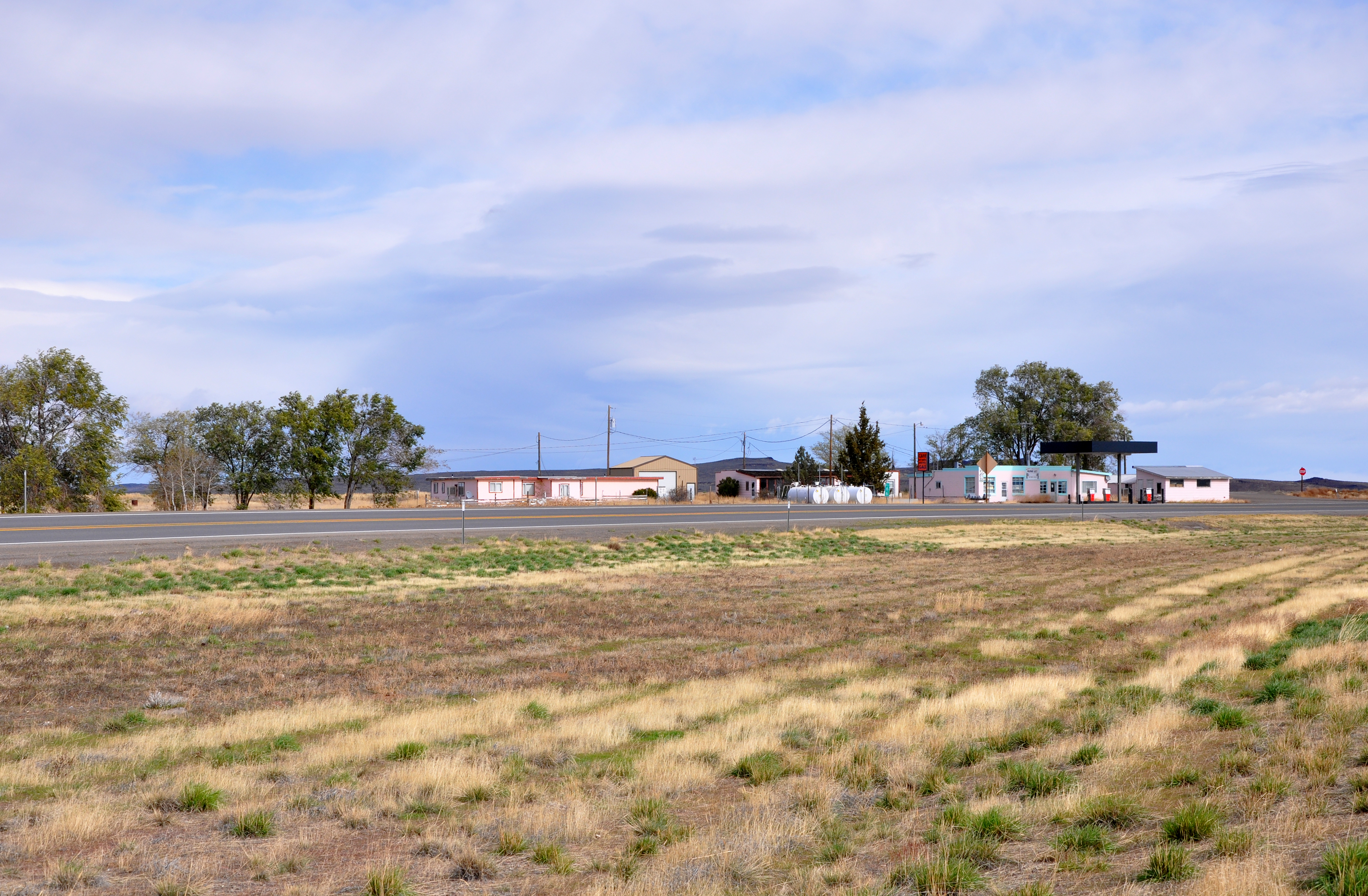
Burns Junction is an unincorporated community in Malheur County, Oregon, United States,[1] at the intersection of U.S. Route 95 and Oregon Route 78, about 80 miles (130 km) southeast of the Harney County city of Burns.[2]
Burns Junction | |
|---|---|
Unincorporated community | |
 | |
 Burns Junction Location within the state of Oregon  Burns Junction Burns Junction (the United States) | |
| Coordinates: 42°46′37″N 117°51′12″W | |
| Country | United States |
| State | Oregon |
| County | Malheur |
| Elevation | 3,934 ft (1,199 m) |
| Time zone | UTC-7 (Mountain) |
| • Summer (DST) | UTC-6 (MDT) |
| ZIP codes | 97910 |
| Area code(s) | 541 |
| Coordinates and elevation from United States Geological Survey[1] | |
Climate
According to the Köppen Climate Classification system, Burns Junction has a semi-arid climate, abbreviated "BSk" on climate maps.[3]
References
- "Burns Junction". Geographic Names Information System. United States Geological Survey, United States Department of the Interior. November 28, 1980. Retrieved November 13, 2010.
- Oregon Atlas & Gazetteer (7th ed.). Yarmouth, Maine: DeLorme. 2008. pp. 82–83, 87. ISBN 0-89933-347-8.
- "Burns Junction, Oregon". Weatherbase. CantyMedia. Retrieved February 1, 2017.
Municipalities and communities of Malheur County, Oregon, United States | ||
|---|---|---|
County seat: Vale | ||
| Cities |
|  |
| CDPs | ||
| Other communities | ||
| Ghost town |
| |
| Indian reservation |
| |
| Footnotes | ‡This populated place also has portions in an adjacent county or counties | |
| ||
This Malheur County, Oregon state location article is a stub. You can help Wikipedia by expanding it. |
Текст в блоке "Читать" взят с сайта "Википедия" и доступен по лицензии Creative Commons Attribution-ShareAlike; в отдельных случаях могут действовать дополнительные условия.
Другой контент может иметь иную лицензию. Перед использованием материалов сайта WikiSort.org внимательно изучите правила лицензирования конкретных элементов наполнения сайта.
Другой контент может иметь иную лицензию. Перед использованием материалов сайта WikiSort.org внимательно изучите правила лицензирования конкретных элементов наполнения сайта.
2019-2026
WikiSort.org - проект по пересортировке и дополнению контента Википедии
WikiSort.org - проект по пересортировке и дополнению контента Википедии