world.wikisort.org - United_Kingdom
Blaby is a local government district in Leicestershire, England.
Blaby District | |
|---|---|
District | |
 Blaby, the village which the district is named after although Narborough is the administrative centre of the district. | |
 Shown within Leicestershire | |
| Sovereign state | United Kingdom |
| Constituent country | England |
| Region | East Midlands |
| Administrative county | Leicestershire |
| Admin. HQ | Narborough |
| Government | |
| • Type | Blaby District Council |
| • Leadership: | Leader & Cabinet |
| • Executive: | Conservative |
| • MPs: | Edward Argar, Alberto Costa |
| Area | |
| • Total | 50.4 sq mi (130.5 km2) |
| • Rank | 193rd |
| Population (mid-2019 est.) | |
| • Total | 101,526 |
| • Rank | Ranked 236th |
| • Density | 2,000/sq mi (780/km2) |
| Time zone | UTC+0 (Greenwich Mean Time) |
| • Summer (DST) | UTC+1 (British Summer Time) |
| ONS code | 31UB (ONS) E07000129 (GSS) |
| Ethnicity | 94.3% White |
| Website | www |
The district is named after Blaby. The population of the district at the 2011 census was 93,915.[1] It covers the civil parish of Blaby and 23 others. Among these are Cosby, Countesthorpe, Enderby, Huncote, Narborough (the location of the main district council offices), Sapcote, Stoney Stanton, and Wigston Parva. Much of the district is part of the Leicester Urban Area: this applies especially to the parishes of Braunstone Town (including the commuter housing development of Thorpe Astley); Glenfield (the location of County Hall, the home of Leicestershire County Council); Kirby Muxloe; Leicester Forest East; and Glen Parva. There are plans to extend this urban area significantly through a large scale housing development, in the rural parish of Lubbesthorpe, and expansion of the industrial area in the neighbouring parish of Enderby.
Blaby was represented in Parliament by the former Chancellor of the Exchequer, Nigel Lawson, between 1974 and 1992.
History
The district traces its origins to the Blaby Poor Law Union,[2] which was founded in 1834. It became a rural district of Leicestershire in 1894. Oadby was removed in 1913 to form an urban district. 1935 saw parts being transferred to Leicester, whilst it took in part of the abolished Hinckley Rural District. In 1974, under the Local Government Act 1972, the area was reconstituted as a non-metropolitan district.
In 1994 a new development within Braunstone Town, Thorpe Astley, was built over the course of 15 years. This totalled over 2,000 homes during the phased construction. The development in Lubbesthorpe, approved in January 2014, is located to land west of Thorpe Astley, divided by the M1.
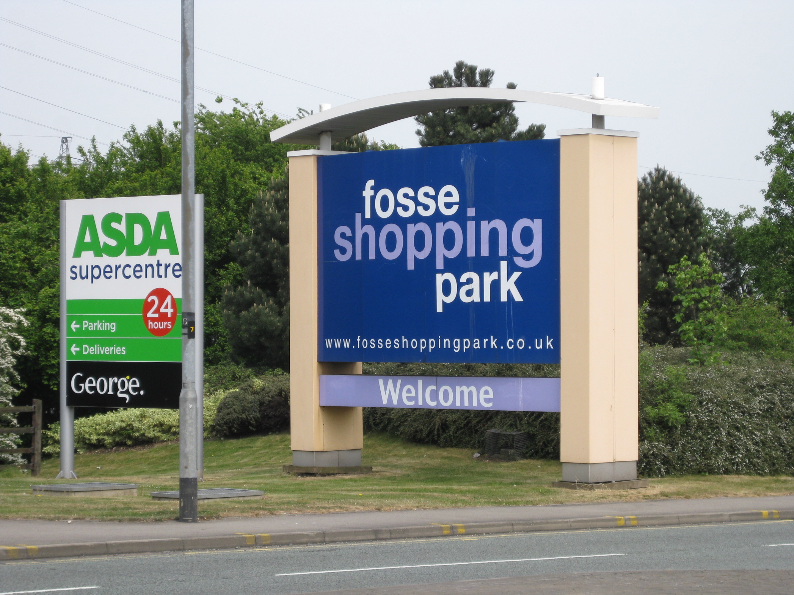
Blaby District contains several well-known developments in the county, centred around junction 21 of the M1. The most prominent is Fosse Shopping Park, one of the busiest out-of-town shopping centers in the country. The Meridian Leisure Centre, constructed adjacent to and at the same time as the first phase of Thorpe Astley, is located in the district, including a Vue (formerly Warner Village) Cinema, Hollywood Bowl, Nandos, Frankie and Bennys, Chiquitos, Harvester, Pizza Hut and children's play centre.
Large Sainsbury's and Asda Superstores are also placed next to Fosse Park and the Junction 21 area. Business parks also adorn the gateway into Leicester; Grove Business Park's entrance is less than one mile from the motorway junction and is home to Mattioli Woods, British Gas, Topps Tiles and the Leicester Marriott Hotel. Meridian Business Park is next to both Thorpe Astley and the Meridian Leisure Centre, also houses several well-known businesses including Makro, Sytner, Samworth Brothers and Southern Fire and Rescue Station, the only such station located within the district.
Demographics
| Population growth in Blaby District | ||||||||||||
|---|---|---|---|---|---|---|---|---|---|---|---|---|
| Year | 1951 | 1961 | 1971 | 1981 | 1991 | 2001 | 2011 | 2016 | 2021 | 2031 | ||
| Population | 38,269 | 53,467 | 75,629 | 76,539 | 82,723 | 90,232 | 93,915 | 97,700 | 100,500 | 107,000 | ||
| Census [3] | ONS[4] | ONS Projections [5] | ||||||||||
As demonstrated Blaby district has undergone rapid growth since the middle of the last century, and this will undoubtedly continue as projected especially in light of New Lubbesthorpe in development since around 2015 to the west of the City of Leicester.
Blaby District Council
Like many other shire districts, authority over Blaby District is shared between the district council and the county council. Areas of responsibility of the district council include local planning, building control, council housing, refuse collection, recycling, and some leisure services and parks.
The district council is made up of 39 councillors who are elected every four years; the last election took place in May 2019.[6]
The composition of the council is as follows:
| Party | Seats [6] | |
|---|---|---|
| Conservative | 23 | |
| Liberal Democrats | 6 | |
| Labour | 6 | |
| Green | 1 | |
| Independent | 3 | |
Parishes
- Aston Flamville
- Blaby, Braunstone Town
- Cosby, Countesthorpe, Croft
- Elmesthorpe, Enderby
- Glen Parva, Glenfield, Glen Hills
- Huncote
- Kilby, Kirby Muxloe
- Leicester Forest East, Leicester Forest, Lubbesthorpe
- Narborough
- Potters Marston
- Sapcote, Sharnford, Stoney Stanton
- Thurlaston
- Whetstone, Wigston Parva
Premises
Blaby District Council's main offices are on Desford Road in Narborough.[7] The old part of the building was formerly a house called the Old Rectory, which had previously served as the rectory for the nearby All Saints Church. The house was bought in 1936 for £4,250 by Blaby Rural District Council to serve as its headquarters and has been significantly extended since then.[8]
Arms
|
References
- "District population 2011". Neighbourhood Statistics. Office for National Statistics. Retrieved 10 June 2016.
- "Blaby Workhouse". Archived from the original on July 2, 2006. Retrieved October 10, 2005.
- Vision of Britain through time
- mid year estimate
- ONS population projections 2014 base / projections uplifted by '21-200/'31-500 given underestimation at 2016 - 300/
- "Blaby District Council". BBC News.
- "Location details". Blaby District Council. Retrieved 18 August 2022.
Council Offices, Desford Road, Narborough, Leicestershire, LE19 2EP
- "Old Rectory to house Blaby Council". Leicester Evening Mail. 17 June 1936. p. 9. Retrieved 18 August 2022.
- "East Midlands Region". Civic Heraldry of England. Retrieved 5 March 2021.
External links
Towns and villages of Blaby District | ||
|---|---|---|
| Towns |  | |
| Large villages |
| |
| Small villages |
| |
| Hamlets |
| |
England Portal | |
| Unitary authorities | |
| Boroughs or districts | |
| Major settlements |
|
| Topics |
|
Districts of the East Midlands region of England | ||
|---|---|---|
| Derbyshire |  | |
| Leicestershire | ||
| Lincolnshire | ||
| Nottinghamshire | ||
| Northamptonshire | ||
| Rutland | ||
Authority control | |
|---|---|
| General | |
| National libraries | |
| Other |
|
На других языках
[de] Blaby District
Blaby ist ein District in der Grafschaft Leicestershire in England. Verwaltungssitz ist die Gemeinde Blaby. Weitere bedeutende Orte sind Cosby, Countesthorpe, Glenfield, Enderby und Stoney Stanton. Glenfield ist Sitz der Grafschaftsverwaltung von Leicestershire, seitdem Leicester einen unabhängigen Stadtkreis bildet.- [en] Blaby District
[ru] Блейби
Блейби (англ. Blaby) — неметрополитенский район (англ. Non-metropolitan district) в графстве Лестершир (Англия). Административный центр — деревня Нарборо.Другой контент может иметь иную лицензию. Перед использованием материалов сайта WikiSort.org внимательно изучите правила лицензирования конкретных элементов наполнения сайта.
WikiSort.org - проект по пересортировке и дополнению контента Википедии