world.wikisort.org - United_Kingdom
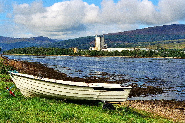
Achaphubuil (Scottish Gaelic: Achadh a' Phùbaill- the field of the tent or pavilion) is a small settlement to the north of Ardgour in Lochaber,[1] in the Highlands of Scotland. Achaphubuil lies to the south of The Narrows, which link Loch Linnhe to Loch Eil. The village of Corpach is on the opposite shore, with Fort William across Loch Linnhe to the north-east.
Achaphubuil
| |
|---|---|
 | |
 Achaphubuil Location within the Lochaber area | |
| OS grid reference | NN085760 |
| Council area |
|
| Country | Scotland |
| Sovereign state | United Kingdom |
| Postcode district | PH33 7 |
| Police | Scotland |
| Fire | Scottish |
| Ambulance | Scottish |
| UK Parliament |
|
| Scottish Parliament |
|
Achaphubuil is spread out along the A861 road, which runs along the shore of the loch.[2][3]
There was a foot ferry between Achaphubuil and Corpach across Loch Eil.
Achaphubuil had a small primary school, which closed in 2010.
References
- Microsoft; Nokia (26 February 2017). "Achaphubuil" (Map). Bing Maps. Microsoft. Retrieved 26 February 2017.
- Ordnance Survey 1:50,000 scale Landranger map sheet 41 Ben Nevis, Fort William & Glen Coe
- Ordnance Survey 1:25,000 scale Explorer
Wikimedia Commons has media related to Achaphubuil.
This Highland location article is a stub. You can help Wikipedia by expanding it. |
Текст в блоке "Читать" взят с сайта "Википедия" и доступен по лицензии Creative Commons Attribution-ShareAlike; в отдельных случаях могут действовать дополнительные условия.
Другой контент может иметь иную лицензию. Перед использованием материалов сайта WikiSort.org внимательно изучите правила лицензирования конкретных элементов наполнения сайта.
Другой контент может иметь иную лицензию. Перед использованием материалов сайта WikiSort.org внимательно изучите правила лицензирования конкретных элементов наполнения сайта.
2019-2025
WikiSort.org - проект по пересортировке и дополнению контента Википедии
WikiSort.org - проект по пересортировке и дополнению контента Википедии