world.wikisort.org - Poland
Cielętniki [t͡ɕɛlɛntˈniki] is a village in the administrative district of Gmina Dąbrowa Zielona, within Częstochowa County, Silesian Voivodeship, in southern Poland.[1] It lies approximately 4 kilometres (2 mi) north of Dąbrowa Zielona, 33 km (21 mi) east of Częstochowa, and 81 km (50 mi) north-east of the regional capital Katowice.
Cielętniki | |
|---|---|
Village | |
 Church of the Transfiguration in Cielętniki | |
 Cielętniki 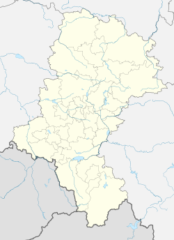 Cielętniki | |
| Coordinates: 50°53′N 19°34′E | |
| Country | |
| Voivodeship | Silesian |
| County | Częstochowa County |
| Gmina | Dąbrowa Zielona |
| Population | 457 |
| Time zone | UTC+1 (CET) |
| • Summer (DST) | UTC+2 (CEST) |
| Vehicle registration | SCZ |
| Voivodeship roads | |
The village has a population of 457.
In the Cielętniki grows the largest tree in Poland — it is monumental lime tree, known as Lime in Cielętniki.
History
The Palace in the center of the village was built by the Kurnatowski family, as was the church.
On September 4, 1939, during the German invasion of Poland which started World War II, German troops carried out a massacre of Polish farmers and children in the village (see Nazi crimes against the Polish nation).[2]
References
- "Central Statistical Office (GUS) - TERYT (National Register of Territorial Land Apportionment Journal)" (in Polish). 2008-06-01.
- Wardzyńska, Maria (2009). Był rok 1939. Operacja niemieckiej policji bezpieczeństwa w Polsce. Intelligenzaktion (in Polish). Warszawa: IPN. p. 99.
| Seat |  | |
|---|---|---|
| Other villages | ||
This Częstochowa County location article is a stub. You can help Wikipedia by expanding it. |
Другой контент может иметь иную лицензию. Перед использованием материалов сайта WikiSort.org внимательно изучите правила лицензирования конкретных элементов наполнения сайта.
WikiSort.org - проект по пересортировке и дополнению контента Википедии