world.wikisort.org - Netherlands
Vledder (Dutch pronunciation: [ˈvlɛdər]) is a village in the Dutch province of Drenthe. It is a part of the municipality of Westerveld, and lies about 24 km northwest of Hoogeveen. It is located along the small river Vledder Aa.
Vledder | |
|---|---|
Village | |
 Johannes de Doperkerk | |
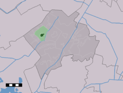 The village centre (dark green) and the statistical district (light green) of Vledder in the municipality of Westerveld. | |
 Vledder Location in the Netherlands  Vledder Vledder (Netherlands) | |
| Coordinates: 52°51′20″N 6°12′37″E | |
| Country | Netherlands |
| Province | Drenthe |
| Municipality | Westerveld |
| Area | |
| • Total | 12.68 km2 (4.90 sq mi) |
| Elevation | 6 m (20 ft) |
| Population (2021)[1] | |
| • Total | 1,960 |
| • Density | 150/km2 (400/sq mi) |
| Time zone | UTC+1 (CET) |
| • Summer (DST) | UTC+2 (CEST) |
| Postal code | 8381[1] |
| Dialing code | 0521 |
History
Prehistoric settlements have been found in the area. Officially, the village of Vledder was started approximately in the year 500 AD. Situated in a desolate region, the village grew slowly. Around 900 AD seven farms were part of the community. In 1300 this number had risen to 20, at the end of the sixteenth century the farms numbered 29.
Vledder was a separate municipality between 1819 and 1998, when it became a part of Westerveld.[3]
Attractions
The village contains a museum of fake art, a Seamuseum, a Nazi labour camp for Jewish people (Kamp Vledder) and a museum of contemporary prints and glass.[4]
Gallery
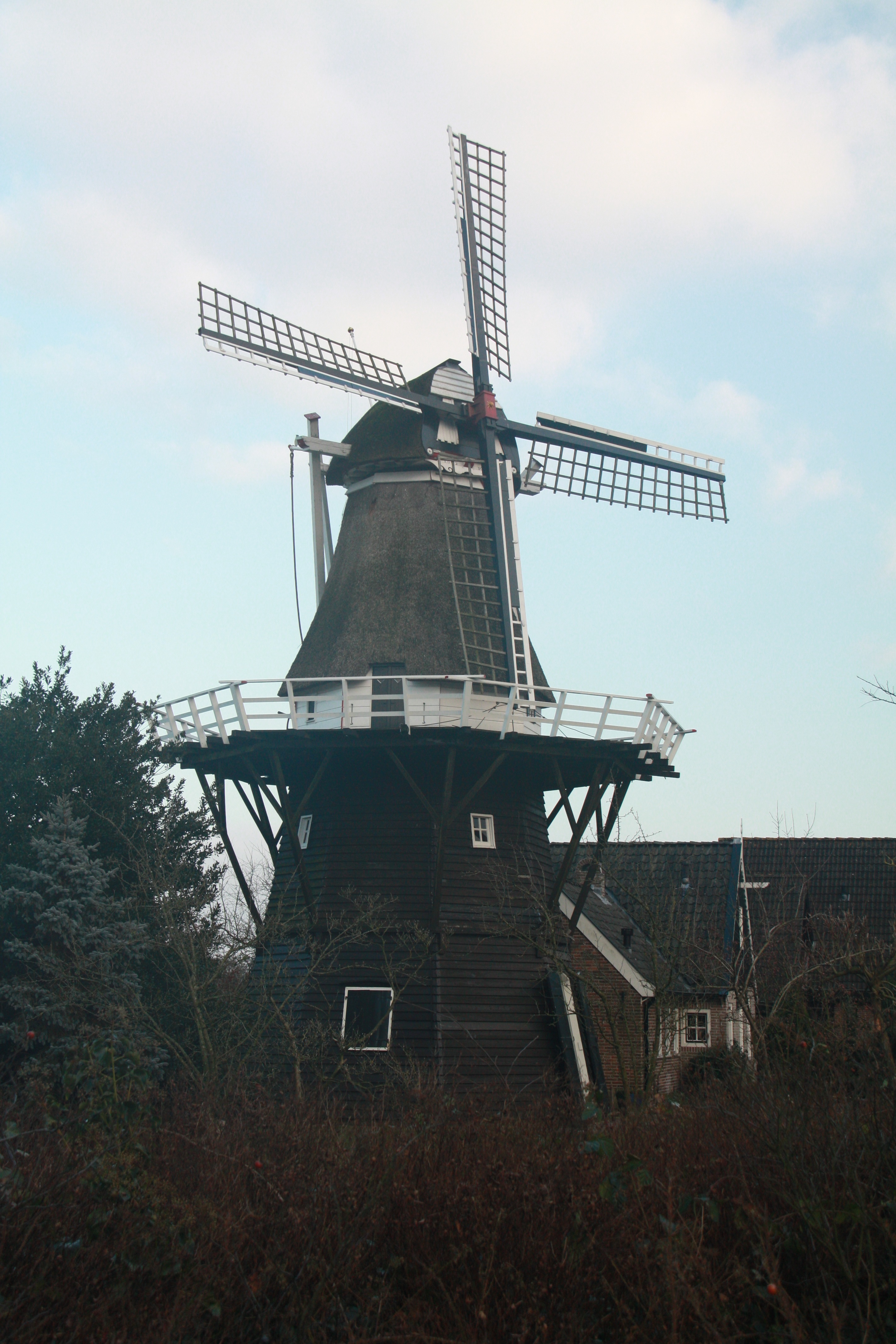
 Molen van Vledder (The windmill)
 Houses in Vledder
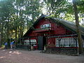 Bar restaurant
 Village centre


References
- "Kerncijfers wijken en buurten 2021". Central Bureau of Statistics. Retrieved 12 April 2022.
- "Postcodetool for 8381AA". Actueel Hoogtebestand Nederland (in Dutch). Het Waterschapshuis. 24 July 2019. Retrieved 12 April 2022.
- Ad van der Meer and Onno Boonstra, "Repertorium van Nederlandse gemeenten", KNAW, 2006. "KNAW > Publicaties > Detailpagina". Archived from the original on February 20, 2007. Retrieved December 3, 2009.
- Museum of Fake Art and Museum Contemporary Prints & Glass
External links
 Media related to Vledder at Wikimedia Commons
This Drenthe location article is a stub. You can help Wikipedia by expanding it. |
Другой контент может иметь иную лицензию. Перед использованием материалов сайта WikiSort.org внимательно изучите правила лицензирования конкретных элементов наполнения сайта.
WikiSort.org - проект по пересортировке и дополнению контента Википедии