world.wikisort.org - Kyrgyzstan
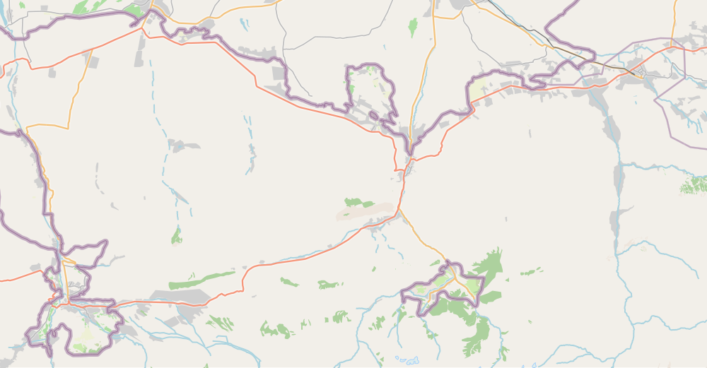
Kadamjay District (Kyrgyz: Кадамжай району; Russian: Кадамжайский район) is a district in Batken Region, in south-western Kyrgyzstan. The administrative seat lies at Kadamjay.[1] The district area is 6,146 square kilometres (2,373 sq mi),[2] and its resident population was 201,457 in 2021.[3] The largest town of the district, Kadamjay, is located between the cities of Aydarken (Khaidarkan) and Kyzyl-Kyya.
Kadamjay
Кадамжай району | |
|---|---|
District | |
 | |
| Country | Kyrgyzstan |
| Region | Batken Region |
| Seat | Kadamjay |
| Area | |
| • Total | 6,146 km2 (2,373 sq mi) |
| Population (2021) | |
| • Total | 201,457 |
| • Density | 33/km2 (85/sq mi) |
| Time zone | UTC+6 |
The district is thought to have the second largest mercury-antimony deposit in the world.[4] Kadamjay Antimony Factory is one of the biggest factories in Kyrgyzstan. Khaidarkan Mercury Plant, built in 1942, was reported, as of 2005, to produce 300 to 600 metric tons of mercury per year.
Ak-Suu (white river) is the river which passes through Kadamjay. Jiydelik lake is a favorite picnic spot.
Population
| Year | Pop. | ±% p.a. |
|---|---|---|
| 1970 | 72,171 | — |
| 1979 | 88,207 | +2.25% |
| 1989 | 112,134 | +2.43% |
| 1999 | 140,487 | +2.28% |
| 2009 | 157,597 | +1.16% |
| 2021 | 201,457 | +2.07% |
| Note: resident population; Sources:[2][3] | ||
Rural communities and villages
In total, Kadamjay District include 2 cities and 115 villages in 13 rural communities (ayyl aymagy).[1] Each rural community can consist of one or several villages. The rural communities and settlements in the Kadamjay District are:[5][6]
- city Aydarken
- city Kadamjay (including 3 villages: Tash-Kyya, Pülgön, Chal-Tash)
- Absamat Masaliev (seat: Kara-Döbö; incl. Olagysh, Kakyr, Kojo, Kon, Alysh, Tash-Korgon and Leskhoz)
- Ak-Turpak (seat: Jangy-Jer; incl. Ak-Turpak, Jangy-Jer,[7] Kalacha, Kara-Tumshuk, Kyzyl-Korgon, Ötükchü, Sary-Kamysh, Tokoy, Chogorok, Chong-Kara, Jash-Tilek, Örükzar, Ming-Chynar and Kelechek)
- Alga (seat: Alga; incl. Adyr, Böksö,[7] Myrgyljek,[7] Shak-Shak, Shybran, Chungkur-Kyshtak and Jangy-Chek)
- Birlik (seat: Ormosh; incl. Bel, Jal, Jangy-Korgon, Kichi-Aydarken, Molo, Sur, Syrt, Teskey, Chechme, Eshme, Jangy-Syrt and Yntymak)
- Chauvay aiyl okmotu (1: center - village: Chauvay)
- Khalmion (seat: Khalmion; incl. Baymaala, Güldürömö, Jangy-Ayyl, Joshuk, Irilesh, Kök-Tal, Kurulush, Noogardan, Tash-Döbö, Yntymak, Chekelik and Shady)
- Kötörmö (seat: Kyzyl-Bulak; incl. Ak-Kyya, Gayrat, Jalgyz-Bulak, Kara-Oot, Kara-Shoro, Kesken-Tash, Kötörmö, Tamasha and Langar)
- Kyrgyz-Kyshtak (seat: Kyrgyz-Kyshtak; incl. Kojo-Korum, Kaytpas, Bürgöndü OPKh and Bürgöndü PMK)
- Markaz (seat: Markaz; incl. Arpa-Say, Dostuk, Kök-Talaa, Mayak and Pyldyrak)
- Maydan (seat: Kara-Jygach; incl. Austan, Kara-Kyshtak, Karool, Kerege-Tash, Maydan, Pum, Kara-Döbö, Isfayram, Sary-Altyn, Bak, Akimbek and Jangy-Abad)
- Orozbekov (seat: Orozbekov; incl. Kuldu, Кosh-Döbö, Kuduk, Öndürüsh, Sary-Talaa and Uchkun)
- Sovet (1: center - village: Sovet)
- Üch-Korgon (seat: Üch-Korgon; incl. Valakish, Kakyr, Kalacha, Kaltak, Sulaymanabad, Raz'ezd, Sukhana, Chauvay, Boz, Kambar-Abad and Tajik-Kyshtak)
Note: Kyzyl-Kyya is a town of regional significance of Batken region, villages Karavan, Ak-Bulak and Jin-Jigen are parts of the town Kyzyl-Kyya.
Kyya
Kamysh
Chinar
Shak-
Shak
Syrt
Kojo
Ak-
Kyya
Gayrat
Jalgyz-
Bulak
Kara-
Dobo
Abad
A
Talaa
Orozbekov
Üch-Korgon
S
Abbreviations: A - Arpa-Say, B - Bak, I - Isfayram, JA - Jany-Aiyl, JK - Jany-Korgon, К - Kalacha (Uch-Korgon a/o), КА - Kambarabad, KD - Kara-Debe (Absamat Masaliev a/o), Кк - Kakyr (Uch-Korgon a/o), Kl - Kaltak, L - Leskhoz, P - Pylydarak, R - Raz'ezd, S - Sulaymanabad, SA - Sary-Altyn, TK - Tajik-Kyshtak
External links
- A site about Kadamzhay (in English and Russian)
References
- "Classification system of territorial units of the Kyrgyz Republic" (in Kyrgyz). National Statistics Committee of the Kyrgyz Republic. May 2021. pp. 42–46.
- "2009 population and housing census of the Kyrgyz Republic: Batken Region" (PDF) (in Russian). National Statistics Committee of the Kyrgyz Republic. 2010. pp. 14, 17.
- "Population of regions, districts, towns, urban-type settlements, rural communities and villages of Kyrgyz Republic" (XLS) (in Russian). National Statistics Committee of the Kyrgyz Republic. 2021. Archived from the original on 10 November 2021.
- "Primary Mercury Mining"
- List of Rural Communities of Kyrgyzstan Archived 2010-02-09 at the Wayback Machine
- Law 27 September 2012 No. 168 on the transformation of individual urban settlements of the Kyrgyz Republic and relating them to the category of village or city
- "2009 population and housing census of the Kyrgyz Republic: Batken Region" (PDF) (in Russian). National Statistics Committee of the Kyrgyz Republic. 2010. p. 15.: "The census shows that the presence of actual villages (aiyls) on the ground does not correspond to the State Classification «System of designations of objects of administrative-territorial and territorial units of the Kyrgyz Republic» (SOATE). The census found that these differences had occurred in the course of local administrative arrangements, which were confirmed by normative documents from the field. According to them, one village does not actually exist on the ground (Jany-Jer of Ak-Turpak aiyl okmotu of Kadamjay District), which is erroneously listed in SOATE. In addition, there were two villages in Bokso and Myrgyljek of Alga aiyl okmotu of Kadamjaya District in 1996. They moved to other villages of Burgondu PMK and Kaytpas of Kyrgyz-Kyshtak aiyl okmotu of the same district, but villages' data are given with old names in SOATE. It should also be noted that the village of Jashtyk (located 8 km from the centre) has existed on the ground since 1991, but still has no code and is not listed in SOATE".
| North Kyrgyzstan |
|  | ||||||||||
|---|---|---|---|---|---|---|---|---|---|---|---|---|
| South Kyrgyzstan |
| |||||||||||
На других языках
- [en] Kadamjay District
[ru] Кадамжайский район
Кадамжайский район (кирг. Кадамжай району) — один из трёх административных районов Баткенской области Киргизии. Административный центр района — город Кадамжай (до 2012 года административным центром являлось село Пульгон).Другой контент может иметь иную лицензию. Перед использованием материалов сайта WikiSort.org внимательно изучите правила лицензирования конкретных элементов наполнения сайта.
WikiSort.org - проект по пересортировке и дополнению контента Википедии