world.wikisort.org - India
Virudhunagar District is a district (an administrative district) of Tamil Nadu state in south India. Virudhunagar is the district headquarters of Virudhunagar district. Virudhunagar district was formed by the separation of Old Ramanathapuram District in 1987 into Ramanathapuram District, Sivagangai District and the west part as Virudhunagar District. Virudhunagar District was formerly called Karmavirer Kamarajar District. As of 2011, Virudhunagar district had a population of 1,942,288 with a sex-ratio of 1,007 females for every 1,000 males. Sivakasi is the most populous and largest city in the district.
Virudhunagar district | |
|---|---|
District of Tamil Nadu | |
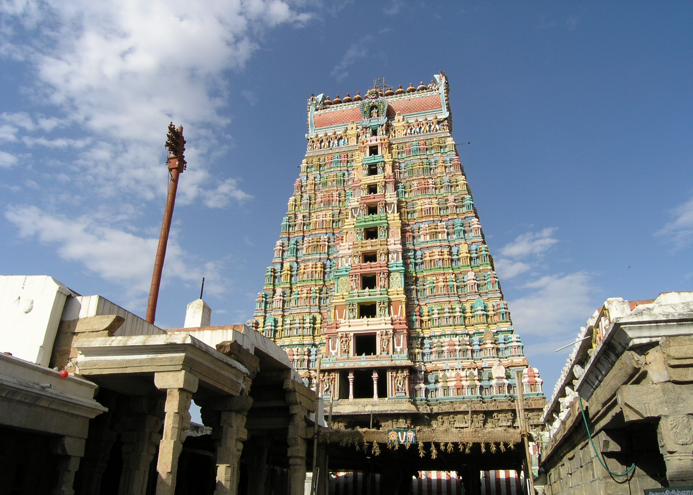 Srivilliputhur Andal Temple Tower | |
| Nickname: Virudhai | |
 Virudhunagar district Location in Tamil Nadu | |
| Coordinates: 9.6°N 78°E | |
| State | |
| Taluks | 10 |
| Panchayat Unions (Blocks) | 11 |
| Corporation | 1 |
| Municipalities | 6 |
| Administrative headquarters | Virudhunagar |
| Talukas | Aruppukkottai, Kariapatti, Rajapalayam, Sattur, Sivakasi, Srivilliputhur, Tiruchuli, Vembakottai, Virudhunagar, Watrap |
| Government | |
| • Collector | J. Meghanatha Reddy (IAS) Superintendent of Police Manohar (IPS) |
| • Superintendent of Police | T. Senthilkumar, TPS |
| Area | |
| • Total | 4,288 km2 (1,656 sq mi) |
| Population (2011) | |
| • Total | 1,942,288 |
| • Density | 450/km2 (1,200/sq mi) |
| Languages | |
| • Official | Tamil |
| Time zone | UTC+5:30 (IST) |
| PIN | 626xxx |
| Telephone code | 04562 |
| ISO 3166 code | [[ISO 3166-2:IN|]] |
| Vehicle registration | TN 67(Virudhunagar), TN 84(Srivilliputtur) TN 67W(Aruppukottai), TN 95(Sivakasi) |
| Central location: | 9°35′N 77°57′E |
| Website | virudhunagar |
Demographics
| Year | Pop. | ±% p.a. |
|---|---|---|
| 1901 | 584,278 | — |
| 1911 | 654,862 | +1.15% |
| 1921 | 691,149 | +0.54% |
| 1931 | 739,064 | +0.67% |
| 1941 | 768,137 | +0.39% |
| 1951 | 859,840 | +1.13% |
| 1961 | 972,288 | +1.24% |
| 1971 | 1,151,449 | +1.71% |
| 1981 | 1,340,907 | +1.53% |
| 1991 | 1,565,037 | +1.56% |
| 2001 | 1,751,301 | +1.13% |
| 2011 | 1,942,288 | +1.04% |
| source:[1] | ||
According to 2011 census, Virudhunagar district had a population of 1,942,288,[2] up from 1,751,301 in 2001,[3] or about an 11% increase. The sex-ratio was 1,007 females for every 1,000 males, much above the national average of 929,[2] but down from 1,012 in 2001.[3] A total of 197,134 were under the age of six, constituting 100,827 males and 96,307 females. Scheduled Castes and Scheduled Tribes accounted for 20.59% and 0.12% of the population, respectively. The average literacy of the district was 72.02%, compared to the national average of 72.99%.[2] The district had a total of 537,748 households. There were a total of 950,158 workers, comprising 52,361 cultivators, 168,174 main agricultural labourers, 30,292 in house hold industries, 603,239 other workers, 96,092 marginal workers, 4,792 marginal cultivators, 40,528 marginal agricultural labourers, 5,006 marginal workers in household industries and 45,766 other marginal workers.[4]
Location


The district is bounded by Sivagangai district and Madurai district on the north, Tenkasi district and Tuticorin District to the south and Ramanathapuram District on east Theni district to the northwest and Idukki district of Kerala to the west.
Politics
| District | No. | Constituency | Name | Party | Alliance | Remarks | ||
|---|---|---|---|---|---|---|---|---|
| Virudhunagar district | 202 | Rajapalayam | S. Thangappandian | Dravida Munnetra Kazhagam | UPA | |||
| 203 | Srivilliputhur (SC) | E. M. Manraj | All India Anna Dravida Munnetra Kazhagam | NDA | ||||
| 204 | Sattur | A. R. R. Raghumaran | Dravida Munnetra Kazhagam (MDMK) | UPA | ||||
| 205 | Sivakasi | A. M. S. G. Ashokan | Indian National Congress | UPA | ||||
| 206 | Virudhunagar | A. R. R. Seenivasan | Dravida Munnetra Kazhagam | UPA | ||||
| 207 | Aruppukkottai | K. K. S. S. R. Ramachandran | Dravida Munnetra Kazhagam | UPA | ||||
| 208 | Tiruchuli | Thangam Thennarasu | Dravida Munnetra Kazhagam | UPA | ||||
Administration
The district is divided into three revenue divisions - Sivakasi, Sattur and Aruppukottai.
The district comprises ten taluks: Aruppukkottai, Kariapatti, Rajapalayam, Sattur, Sivakasi, Srivilliputhur, Tiruchuli, Vembakottai, Virudhunagar and Watrap.[5] In total there are 600 revenue villages in this district.
This district has nine town panchayats – Seithur, Vathirairuppu, Chettiarpatti, Kariapatti, Mamsapuram, Sundarapandiam, Mallankinaru, S.Kodikulam and W.Pudupatti.
The Parliamentary Constituency number of Virudhunagar District is 34.
Economy
Virudhunagar district is leading in the country in the match industry, fireworks and printing, mostly concentrated in and around Sivakasi.[citation needed] Virudhunagar is the main market for oil, chicory, coffee seeds, dry chillies and pulses.[citation needed] There are two trade centres (Godowns) in the District one in Virudhunagar and another in Rajapalayam. Ginning factories, spinning mills, power loom and hand loom industries are also present in the district at Rajapalayam the second big weaving town in the state after Coimbatore.[citation needed] One of the cement plants of Ramco Cements Ltd is located in RR Nagar[6] near Viudhunagar another one located at Alankulam of Sivakasi Taluk.[citation needed]
See also
- Villages in Virudhunagar district
- Kallamanaickerpatti
- List of districts of Tamil Nadu
References
- Decadal Variation In Population Since 1901
- "Census Info 2011 Final population totals". Office of The Registrar General and Census Commissioner, Ministry of Home Affairs, Government of India. 2013. Retrieved 26 January 2014.
- "Census of India 2001: Basic Data Sheet: District Virudhunagar" (PDF). Registrar General & Census Commissioner, India. Archived (PDF) from the original on 25 September 2012.
- "Census Info 2011 Final population totals - Virudhunagar district". Office of The Registrar General and Census Commissioner, Ministry of Home Affairs, Government of India. 2013. Retrieved 26 January 2014.
- "NPR Report: Tamil Nadu: Virudhunagar". National Population Register, Ministry of Home Affairs, Government of India. 2011. Archived from the original on 16 July 2014.
- "Cements | India Cements | Ramco Cements | Cement | Best Cement in India | | Cements share price | Cements of India | Cement of India | Good Cement | Cement manufacturing company India | Cement Company | Cement manufacture | Indian Cement". ramcocements.in. Retrieved 15 July 2020.
External links
Capital: Chennai | ||
| State symbols |
| |
| Governance |
| |
| Topics |
| |
| Major cities | ||
| Districts |
| |
| Lists |
| |
Authority control | |
|---|---|
| General |
|
| National libraries | |
На других языках
[de] Virudhunagar (Distrikt)
Der Distrikt Virudhunagar (Tamil: விருதுநகர் மாவட்டம்; auch: Virudunagar) ist ein Distrikt des indischen Bundesstaates Tamil Nadu. Verwaltungszentrum ist die namensgebende Stadt Virudhunagar. Der Distrikt Virudhunagar hat eine Fläche von 4.241 Quadratkilometern und rund 1,9 Millionen Einwohner (Volkszählung 2011).- [en] Virudhunagar district
[ru] Вирудунагар (округ)
Вирудунагар (англ. Virudhunagar, прежнее название — Камараджар, англ. Kamarajar) — округ в индийском штате Тамилнад. Образован в 1980 году из части территории округа Раманатхапурам. Административный центр — город Вирудунагар. Площадь округа — 4283 км². По данным всеиндийской переписи 2001 года население округа составляло 1 751 301 человек. Уровень грамотности взрослого населения составлял 73,7 %, что выше среднеиндийского уровня (59,5 %). Доля городского населения составляла 44,4 %.Другой контент может иметь иную лицензию. Перед использованием материалов сайта WikiSort.org внимательно изучите правила лицензирования конкретных элементов наполнения сайта.
WikiSort.org - проект по пересортировке и дополнению контента Википедии