world.wikisort.org - India
Dholpur District is a district of Rajasthan state in Northern India. The town of Dholpur is the district headquarters. Dholpur District is a part of Bharatpur Divisional Commissionerate. It was carved out from the erstwhile Bharatpur District on 15 April 1982.
Dholpur district | |
|---|---|
District of Rajasthan | |
    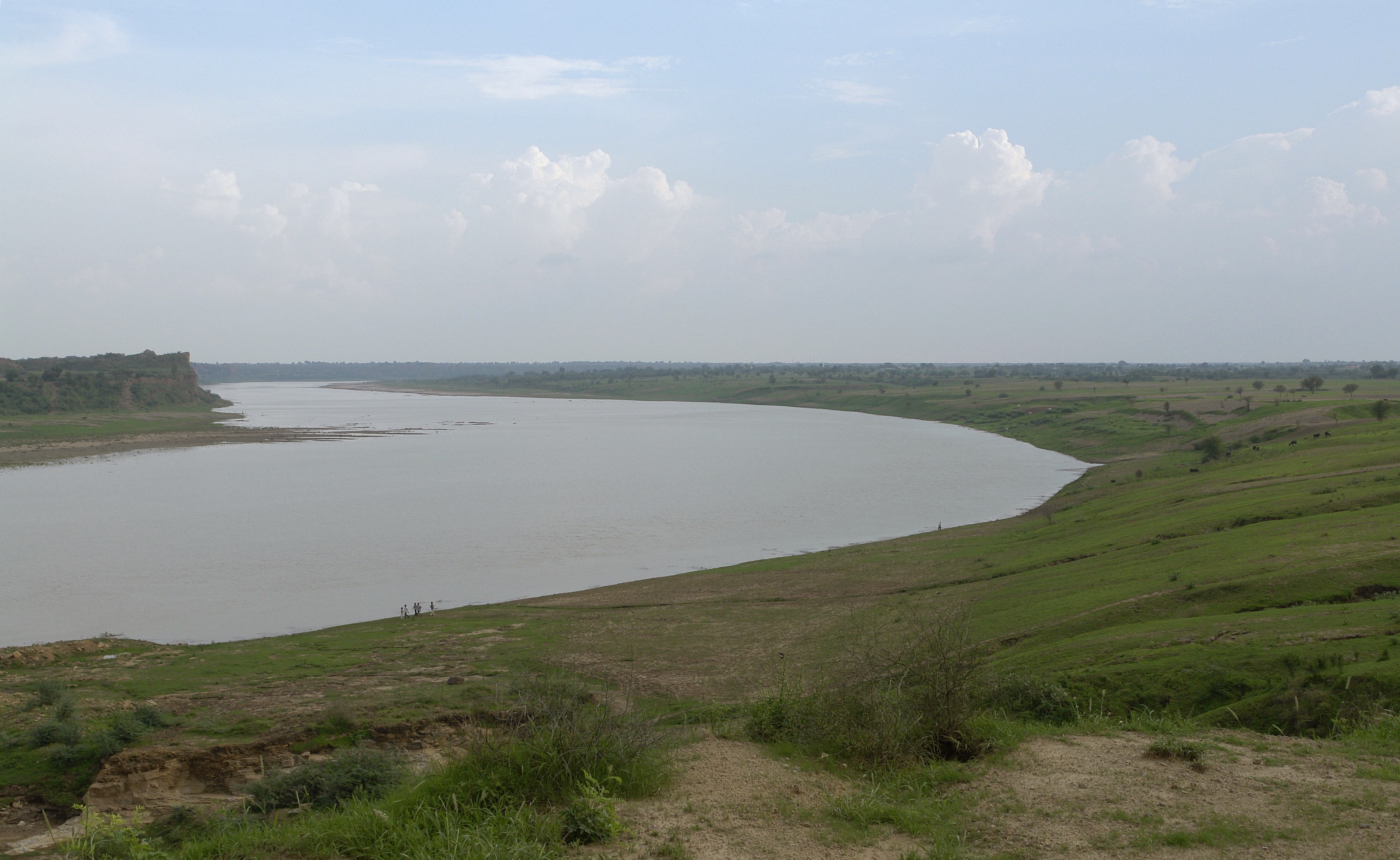 Rani ki Haveli in Machkund, Kalia Mata Temple in Bari, Talab-e-Shahi, Chambal River near Dholpur, Shergarh Fort | |
 Location of Dholpur district in Rajasthan | |
| Country | |
| State | Rajasthan |
| Division | Bharatpur |
| Area | |
| • Total | 3,084 km2 (1,191 sq mi) |
| Population (2011)[1] | |
| • Total | 1,206,516 |
| • Density | 390/km2 (1,000/sq mi) |
| Time zone | UTC+05:30 (IST) |
Dholpur District has an area of 3084 km². The Chambal River forms the southern boundary of the district, across which lies the state of Madhya Pradesh. The district is bounded by the state of Uttar Pradesh on the east and northeast, by Bharatpur District of Rajasthan on the northwest, and Karauli District of Rajasthan on the west. All along the bank of the Chambal River the district is deeply intersected by ravines; low ranges of hills in the western portion of the district supply quarries of fine-grained and easily worked red sandstone.
Administratively the district is divided into four subdivisions, Dholpur, Bari, Rajakhera, and Baseri, and six tehsils, Dholpur, Bari, Rajakhera, Basedi, Sarmathura and Saipau.
The economy of the district is primarily agricultural. The regional language of Dholpur is "Braj Bhasha," which has fragrances of Bundelkhandi and Khadi bhasha. It is because Dholpur is situated at the center surrounded by three states of Braj kshetra, are Rajasthan, Uttar Pradesh, and Madhya Pradesh.
It is famous for Chambal Bharka (Sand made Mountains).
Demographics
According to the 2011 census Dholpur district has a population of 1,206,516,[1] roughly equal to the nation of Bahrain[3] or the US state of New Hampshire.[4] This gives it a ranking of 394th in India (out of a total of 640).[1] The district has a population density of 398 inhabitants per square kilometre (1,030/sq mi) .[1] Its population growth rate over the decade 2001-2011 was 22.78%.[1] Dhaulpur has a sex ratio of 845 females for every 1000 males,[1] and a literacy rate of 70.14%. Scheduled Castes and Scheduled Tribes make up 20.36% and 4.86% of the population respectively.[1]
At the time of the 2011 Census of India, 97.91% of the population in the district spoke Hindi and 1.58% Braj Bhasha as their first language.[5]
| Year | Pop. | ±% p.a. |
|---|---|---|
| 1901 | 298,547 | — |
| 1911 | 273,322 | −0.88% |
| 1921 | 241,508 | −1.23% |
| 1931 | 246,660 | +0.21% |
| 1941 | 286,788 | +1.52% |
| 1951 | 302,123 | +0.52% |
| 1961 | 363,727 | +1.87% |
| 1971 | 459,655 | +2.37% |
| 1981 | 585,059 | +2.44% |
| 1991 | 749,479 | +2.51% |
| 2001 | 983,258 | +2.75% |
| 2011 | 1,206,516 | +2.07% |
| source:[6] | ||
References
- "District Census Handbook 2011 - Dholpur" (PDF). Census of India. Registrar General and Census Commissioner of India.
- "Table C-01 Population By Religion - Rajasthan". census.gov.in. Registrar General and Census Commissioner of India.
- US Directorate of Intelligence. "Country Comparison:Population". Archived from the original on 13 June 2007. Retrieved 1 October 2011.
Bahrain 1,214,705 July 2011 est.
- "2010 Resident Population Data". U. S. Census Bureau. Archived from the original on 19 October 2013. Retrieved 30 September 2011.
New Hampshire 1,316,470
- "Table C-16 Population by Mother Tongue: Rajasthan". censusindia.gov.in. Registrar General and Census Commissioner of India.
- Decadal Variation In Population Since 1901
External links
Places adjacent to Dholpur district | ||||||||||||||||
|---|---|---|---|---|---|---|---|---|---|---|---|---|---|---|---|---|
| ||||||||||||||||
Capital: Jaipur | |||||||||||||||
| Outline |
|  | |||||||||||||
| Governance |
| ||||||||||||||
| Divisions and districts |
| ||||||||||||||
| Major cities | |||||||||||||||
| Related templates |
| ||||||||||||||
Authority control | |
|---|---|
| General |
|
| National libraries | |
На других языках
[de] Dholpur (Distrikt)
Der Distrikt Dholpur (Hindi धौलपुर जिला), auch Dhaulpur, ist ein Distrikt im westindischen Bundesstaat Rajasthan.- [en] Dholpur district
[ru] Дхолпур (округ)
Дхолпур (англ. Dholpur) — округ в индийском штате Раджастхан. Разделён на четыре подокруга. Административный центр округа — город Дхолпур. Согласно всеиндийской переписи 2001 года население округа составляло 983 258 человек. Уровень грамотности взрослого населения составлял 60,10 %, что соответствует среднеиндийскому уровню (59,5 %).Другой контент может иметь иную лицензию. Перед использованием материалов сайта WikiSort.org внимательно изучите правила лицензирования конкретных элементов наполнения сайта.
WikiSort.org - проект по пересортировке и дополнению контента Википедии