world.wikisort.org - Germany
Elsterwerda (German pronunciation: [ˌɛlstɐˈvɛʁda] (![]() listen); Lower Sorbian: Wikow) is a town in the Elbe-Elster district, in southwestern Brandenburg, Germany. It is situated on the Black Elster river, 48 km northwest of Dresden, and 11 km southeast of Bad Liebenwerda.
listen); Lower Sorbian: Wikow) is a town in the Elbe-Elster district, in southwestern Brandenburg, Germany. It is situated on the Black Elster river, 48 km northwest of Dresden, and 11 km southeast of Bad Liebenwerda.
This article may be expanded with text translated from the corresponding article in German. (December 2009) Click [show] for important translation instructions.
|
Elsterwerda | |
|---|---|
Town | |
 Château | |
 Coat of arms | |
Location of Elsterwerda within Elbe-Elster district  | |
 Elsterwerda  Elsterwerda | |
| Coordinates: 51°27′28″N 13°31′26″E | |
| Country | Germany |
| State | Brandenburg |
| District | Elbe-Elster |
| Subdivisions | Town centre and 2 districts |
| Government | |
| • Mayor (2017–25) | Anja Heinrich[1] (CDU) |
| Area | |
| • Total | 40.55 km2 (15.66 sq mi) |
| Elevation | 90 m (300 ft) |
| Population (2021-12-31)[2] | |
| • Total | 7,805 |
| • Density | 190/km2 (500/sq mi) |
| Time zone | UTC+01:00 (CET) |
| • Summer (DST) | UTC+02:00 (CEST) |
| Postal codes | 04910 |
| Dialling codes | 03533 |
| Vehicle registration | EE, FI, LIB |
| Website | www.elsterwerda.de |
History
From 1952 to 1990, Elsterwerda was part of the Bezirk Cottbus of East Germany.
Demography
 Development of Population since 1875 within the Current Boundaries (Blue Line: Population; Dotted Line: Comparison to Population Development of Brandenburg state; Grey Background: Time of Nazi rule; Red Background: Time of Communist rule)
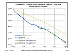 Recent Population Development and Projections (Population Development before Census 2011 (blue line); Recent Population Development according to the Census in Germany in 2011 (blue bordered line); Official projections for 2005-2030 (yellow line); for 2020-2030 (green line); for 2017-2030 (scarlet line)


|
|
|
Gallery
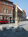 City
City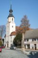 Church „St. Katharina“
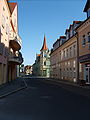 City hall
 Miniature park
 Windmill
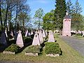 War memorial
 Water tower
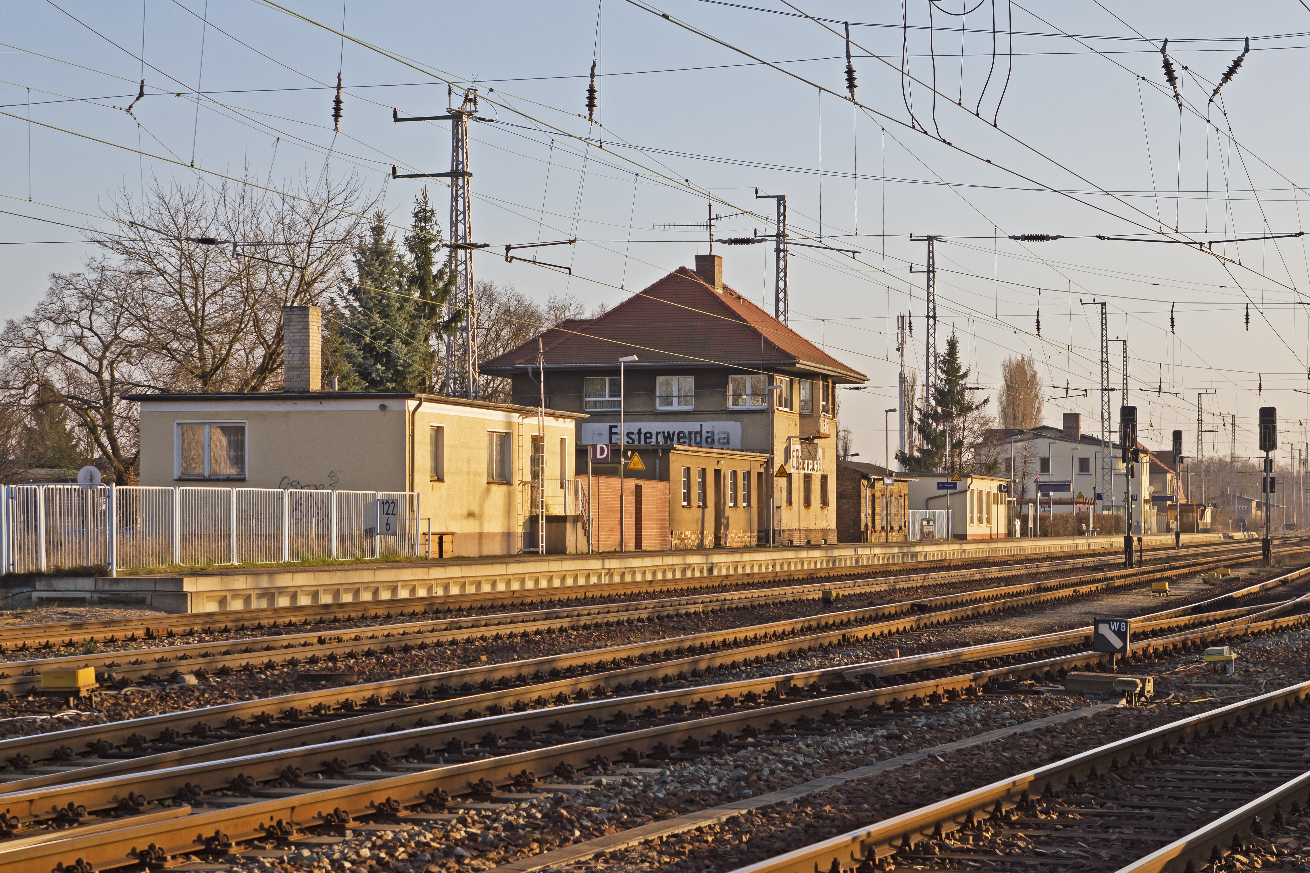
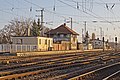 Railway station
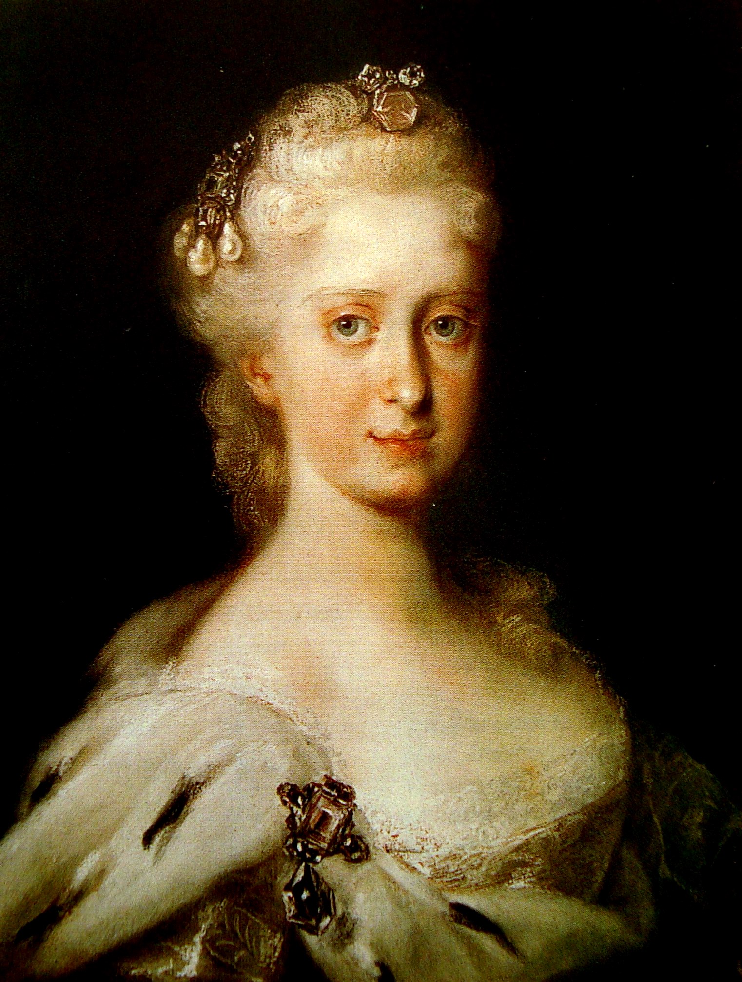
 Maria Josepha of Austria, Queen of Poland


Notable people

- Maria Josepha of Austria (1699-1757), Austrian princess and Queen of Poland
- Charles of Saxony, Duke of Courland (1733-1796), Saxon prince
- Franciszka Korwin-Krasińska (1742-1796), Polish noblewoman and morganatic wife of the above
- Johann Gottlob Theaenus Schneider (1750-1822), classicist and naturalist, spent his childhood in Elsterwerda
- Johannes Gillhoff (1861-1930), teacher and author
- Erich Straube (1887-1971), officer in WW I and WW II
- Bernd Martin (born 1940), historian, grew up in Elsterwerda
- Siegbert Horn (1950-2016), canoeist, Olympic and World Champion
- Ralf Minge (born 1960), football player and coach
References
- Landkreis Elbe-Elster Wahl der Bürgermeisterin / des Bürgermeisters, accessed 1 July 2021.
- "Bevölkerungsentwicklung und Flächen der kreisfreien Städte, Landkreise und Gemeinden im Land Brandenburg 2021" (PDF). Amt für Statistik Berlin-Brandenburg (in German). June 2022.
- Detailed data sources are to be found in the Wikimedia Commons.Population Projection Brandenburg at Wikimedia Commons
External links
- Official website (in German)
Authority control | |
|---|---|
| General | |
| National libraries | |
| Other |
|
Towns and municipalities in Elbe-Elster | ||
|---|---|---|
|  | |
This Brandenburg location article is a stub. You can help Wikipedia by expanding it. |
На других языках
[de] Elsterwerda
Elsterwerda (niedersorbisch Wikow) ist eine Kleinstadt im brandenburgischen Landkreis Elbe-Elster. Sie umfasst eine Fläche von 41 km² und befindet sich im Süden des Naturparks Niederlausitzer Heidelandschaft und an der westlichen Grenze des Schradens, eines Niederungsgebietes der Schwarzen Elster.- [en] Elsterwerda
[es] Elsterwerda
Elsterwerda es un municipio del distrito de Elbe-Elster en el Suroeste de Brandeburgo, (Alemania). Está situado a las orillas del Schwarze Elster, a 48 km al noroeste de Dresde y a 11 km al sureste de Bad Liebenwerda.[ru] Эльстерверда
Эльстерве́рда (нем. Elsterwerda) — город в Германии, в земле Бранденбург.Текст в блоке "Читать" взят с сайта "Википедия" и доступен по лицензии Creative Commons Attribution-ShareAlike; в отдельных случаях могут действовать дополнительные условия.
Другой контент может иметь иную лицензию. Перед использованием материалов сайта WikiSort.org внимательно изучите правила лицензирования конкретных элементов наполнения сайта.
Другой контент может иметь иную лицензию. Перед использованием материалов сайта WikiSort.org внимательно изучите правила лицензирования конкретных элементов наполнения сайта.
2019-2026
WikiSort.org - проект по пересортировке и дополнению контента Википедии
WikiSort.org - проект по пересортировке и дополнению контента Википедии