world.wikisort.org - China
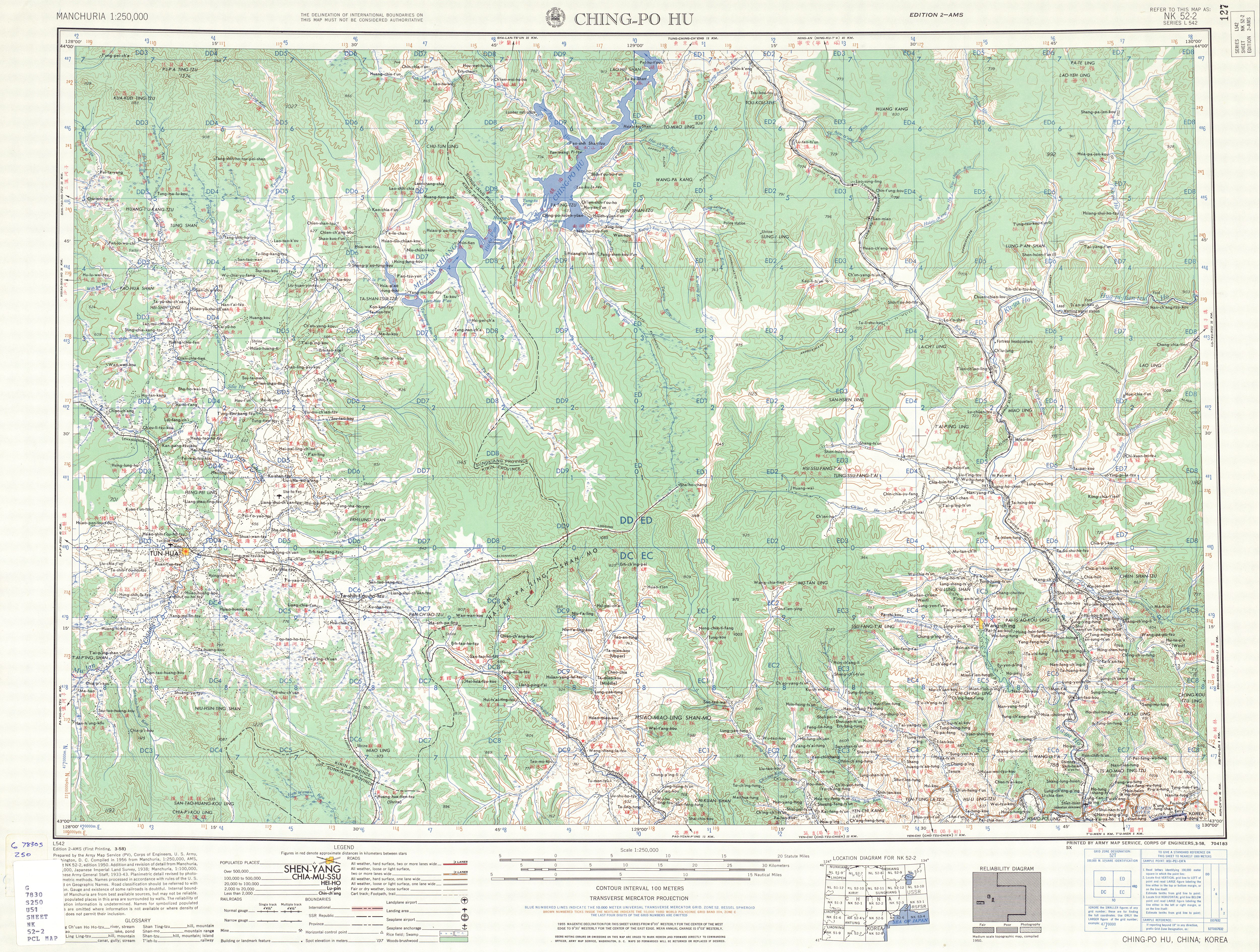
Wangqing County (simplified Chinese: 汪清县; traditional Chinese: 汪清縣; pinyin: Wāngqīng Xiàn; Korean: 왕칭현) is a county of southeastern Jilin province, China. It is under the administration of the Yanbian Korean Autonomous Prefecture. The county's name Wangqing comes from the Manchu language meaning fortress.
Wangqing County
汪清县 · 왕청현 | |
|---|---|
County | |
 Wangqing Location in Jilin | |
| Coordinates: 43°19′N 129°46′E | |
| Country | People's Republic of China |
| Province | Jilin |
| Prefecture | Yanbian |
| County seat | Wangqing Town (汪清镇) |
| Area | |
| • Total | 8,994 km2 (3,473 sq mi) |
| Elevation | 236 m (774 ft) |
| Population | |
| • Total | 260,000 |
| • Density | 29/km2 (75/sq mi) |
| Time zone | UTC+8 (China Standard) |
| Postal code | 133200 |
| Wangqing County | |||||||
|---|---|---|---|---|---|---|---|
| Simplified Chinese | 汪清县 | ||||||
| Traditional Chinese | 汪清縣 | ||||||
| |||||||
| Chinese Korean name | |||||||
| Chosŏn'gŭl | 왕청현 | ||||||
| |||||||
| South Korean name | |||||||
| Hangul | 왕칭 현 | ||||||
| |||||||
Administrative divisions
Wangqing has eight towns and one township.[1]
Towns:
- Wangqing (汪清镇 / 왕청진), Daxinggou (大兴沟镇 / 대흥구진), Tianqiaoling (天桥岭镇 / 천교령진), Luozigou (罗子沟镇 / 라자구진), Chunyang (春阳镇 / 춘양진), Fuxing (复兴镇 / 복흥진), Baicaogou (百草沟镇 / 백초구진), Dongguang (东光镇 / 동광진)
The only township is Jiguan Township (鸡冠乡 / 계관향)
Climate
| Climate data for Wangqing (1981−2010) | |||||||||||||
|---|---|---|---|---|---|---|---|---|---|---|---|---|---|
| Month | Jan | Feb | Mar | Apr | May | Jun | Jul | Aug | Sep | Oct | Nov | Dec | Year |
| Record high °C (°F) | 7.2 (45.0) |
12.8 (55.0) |
20.2 (68.4) |
32.2 (90.0) |
33.2 (91.8) |
37.8 (100.0) |
37.3 (99.1) |
35.7 (96.3) |
31.0 (87.8) |
28.0 (82.4) |
21.2 (70.2) |
10.2 (50.4) |
37.8 (100.0) |
| Average high °C (°F) | −7.4 (18.7) |
−2.3 (27.9) |
4.6 (40.3) |
14.3 (57.7) |
20.4 (68.7) |
23.8 (74.8) |
25.9 (78.6) |
26.4 (79.5) |
21.6 (70.9) |
14.3 (57.7) |
3.4 (38.1) |
−5.0 (23.0) |
11.7 (53.0) |
| Daily mean °C (°F) | −15.5 (4.1) |
−10.2 (13.6) |
−2.4 (27.7) |
6.7 (44.1) |
12.9 (55.2) |
17.3 (63.1) |
20.6 (69.1) |
20.7 (69.3) |
14.2 (57.6) |
6.4 (43.5) |
−3.5 (25.7) |
−12.2 (10.0) |
4.6 (40.3) |
| Average low °C (°F) | −22.0 (−7.6) |
−17.2 (1.0) |
−8.8 (16.2) |
−0.2 (31.6) |
6.2 (43.2) |
12.1 (53.8) |
16.5 (61.7) |
16.5 (61.7) |
8.6 (47.5) |
0.0 (32.0) |
−9.1 (15.6) |
−18.0 (−0.4) |
−1.3 (29.7) |
| Record low °C (°F) | −36.3 (−33.3) |
−33.1 (−27.6) |
−24.2 (−11.6) |
−11.2 (11.8) |
−3.5 (25.7) |
4.0 (39.2) |
7.9 (46.2) |
3.6 (38.5) |
−4.2 (24.4) |
−13.6 (7.5) |
−27.5 (−17.5) |
−33.5 (−28.3) |
−36.3 (−33.3) |
| Average precipitation mm (inches) | 6.9 (0.27) |
6.3 (0.25) |
12.6 (0.50) |
32.8 (1.29) |
58.1 (2.29) |
81.9 (3.22) |
123.9 (4.88) |
109.3 (4.30) |
66.1 (2.60) |
30.0 (1.18) |
13.9 (0.55) |
9.1 (0.36) |
550.9 (21.69) |
| Average relative humidity (%) | 65 | 60 | 57 | 55 | 62 | 74 | 81 | 81 | 77 | 65 | 63 | 66 | 67 |
| Source: China Meteorological Data Service Center[2] | |||||||||||||
Notable people from Wangqing County
- Ju To-il, Chinese-born North Korean vice-marshal
References
- 2011年统计用区划代码和城乡划分代码:汪清县 (in Chinese). National Bureau of Statistics of the People's Republic of China. Retrieved 2012-07-18.
- 中国地面气候标准值月值(1981-2010) (in Simplified Chinese). China Meteorological Data Service Center. Retrieved 24 August 2022.
External links
This Jilin location article is a stub. You can help Wikipedia by expanding it. |
На других языках
- [en] Wangqing County
[ru] Ванцин
Ванци́н (кит. упр. 汪清, пиньинь Wāngqīng, кор. 왕칭) — уезд Яньбянь-Корейского автономного округа провинции Гирин (КНР). Название происходит от чжурчжэньского слова, означающего «крепость».Текст в блоке "Читать" взят с сайта "Википедия" и доступен по лицензии Creative Commons Attribution-ShareAlike; в отдельных случаях могут действовать дополнительные условия.
Другой контент может иметь иную лицензию. Перед использованием материалов сайта WikiSort.org внимательно изучите правила лицензирования конкретных элементов наполнения сайта.
Другой контент может иметь иную лицензию. Перед использованием материалов сайта WikiSort.org внимательно изучите правила лицензирования конкретных элементов наполнения сайта.
2019-2026
WikiSort.org - проект по пересортировке и дополнению контента Википедии
WikiSort.org - проект по пересортировке и дополнению контента Википедии