world.wikisort.org - Belgium
Yvoir (French pronunciation: [i.vwaʁ]; Walloon: Uwar) is a municipality of Wallonia located in the province of Namur, Belgium.
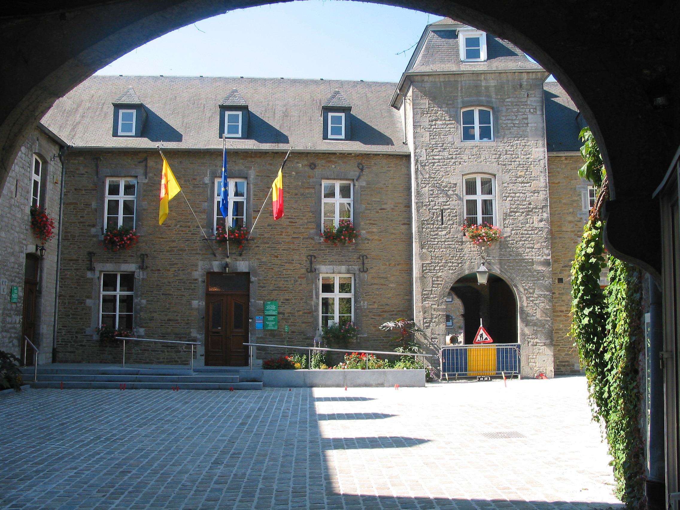
Yvoir
| |
|---|---|
Municipality | |
 | |
 Coat of arms | |
Location of Yvoir  | |
 Yvoir Location in Belgium
Location of Yvoir in Namur province  | |
| Coordinates: 50°20′N 04°53′E | |
| Country | Belgium |
| Community | French Community |
| Region | Wallonia |
| Province | Namur |
| Arrondissement | Dinant |
| Government | |
| • Mayor | Patrick Evrard |
| • Governing party/ies | La Relève - Liste du Bourgmestre |
| Area | |
| • Total | 56.84 km2 (21.95 sq mi) |
| Population (2018-01-01)[1] | |
| • Total | 9,163 |
| • Density | 160/km2 (420/sq mi) |
| Postal codes | 5530 |
| Area codes | 082 |
| Website | www.yvoir.be |
On 1 January 2006 the municipality had 8,450 inhabitants. The total area is 56.84 km2, making it a population density of 149 inhabitants per km2.
The municipality consists of the following districts: Dorinne, Durnal, Evrehailles, Godinne, Houx, Mont, Purnode, Spontin and Yvoir.
Sport
Yvoir was the host city of the 1975 UCI Road World Championships
Healthcare
Yvoir hosts the Mont-Godinne site of the CHU UCLouvain Namur university hospital, serving as teaching hospital for the University of Louvain.
See also
- List of protected heritage sites in Yvoir
References
- "Wettelijke Bevolking per gemeente op 1 januari 2018". Statbel. Retrieved 9 March 2019.
External links
 Media related to Yvoir at Wikimedia Commons
- Official website (in French)
Places adjacent to Yvoir | ||||||||||||||||
|---|---|---|---|---|---|---|---|---|---|---|---|---|---|---|---|---|
| ||||||||||||||||
Municipalities in the province of Namur, Wallonia | ||
|---|---|---|
| Dinant |  | |
| Namur | ||
| Philippeville | ||
Bold indicates cities | ||
Authority control | |
|---|---|
| General | |
| National libraries | |
| Other |
|
This Namur Province location article is a stub. You can help Wikipedia by expanding it. |
На других языках
[de] Yvoir
Yvoir ist eine Gemeinde in der Provinz Namur im wallonischen Teil Belgiens.- [en] Yvoir
[es] Yvoir
Yvoir es un municipio de Valonia, en la provincia de Provincia de Namur, Bélgica. A 1 de enero de 2019 tenía una población estimada de 9167 habitantes.[2][ru] Ивуар (Бельгия)
Ивуа́р — коммуна в Валлонии, расположенная в провинции Намюр, округ Динан. Принадлежит Французскому языковому сообществу Бельгии. На площади 56,84 км² проживают 8450 человек (плотность населения — 149 чел./км²), из которых 48,83 % — мужчины и 51,17 % — женщины. Средний годовой доход на душу населения в 2003 году составлял 12 393 евро.Текст в блоке "Читать" взят с сайта "Википедия" и доступен по лицензии Creative Commons Attribution-ShareAlike; в отдельных случаях могут действовать дополнительные условия.
Другой контент может иметь иную лицензию. Перед использованием материалов сайта WikiSort.org внимательно изучите правила лицензирования конкретных элементов наполнения сайта.
Другой контент может иметь иную лицензию. Перед использованием материалов сайта WikiSort.org внимательно изучите правила лицензирования конкретных элементов наполнения сайта.
2019-2026
WikiSort.org - проект по пересортировке и дополнению контента Википедии
WikiSort.org - проект по пересортировке и дополнению контента Википедии