world.wikisort.org - Belgium
Brugelette (French pronunciation: [bʁyʒlɛt] (![]() listen); Picard: Brujlete; Walloon: Brudjlete) is a municipality of Wallonia located in the province of Hainaut, Belgium.
listen); Picard: Brujlete; Walloon: Brudjlete) is a municipality of Wallonia located in the province of Hainaut, Belgium.
Brugelette
| |
|---|---|
Municipality | |
 | |
 Flag  Coat of arms | |
Location of Brugelette  | |
 Brugelette Location in Belgium
Location of Brugelette in Hainaut  | |
| Coordinates: 50°36′N 03°51′E | |
| Country | Belgium |
| Community | French Community |
| Region | Wallonia |
| Province | Hainaut |
| Arrondissement | Ath |
| Government | |
| • Mayor | André Desmarlières (Liste du Mayeur) |
| • Governing party/ies | Liste du Mayeur |
| Area | |
| • Total | 28.59 km2 (11.04 sq mi) |
| Population (2018-01-01)[1] | |
| • Total | 3,658 |
| • Density | 130/km2 (330/sq mi) |
| Postal codes | 7940-7943 |
| Area codes | 068 |
| Website | www |
On January 1, 2006, Brugelette had a total population of 3,284. The total area is 28.40 km2 (10.97 sq mi) which gives a population density of 116 inhabitants per square kilometre (300/sq mi).
The municipality consists of the following districts: Attre, Brugelette, Cambron-Casteau, Gages, and Mévergnies-lez-Lens.
See also
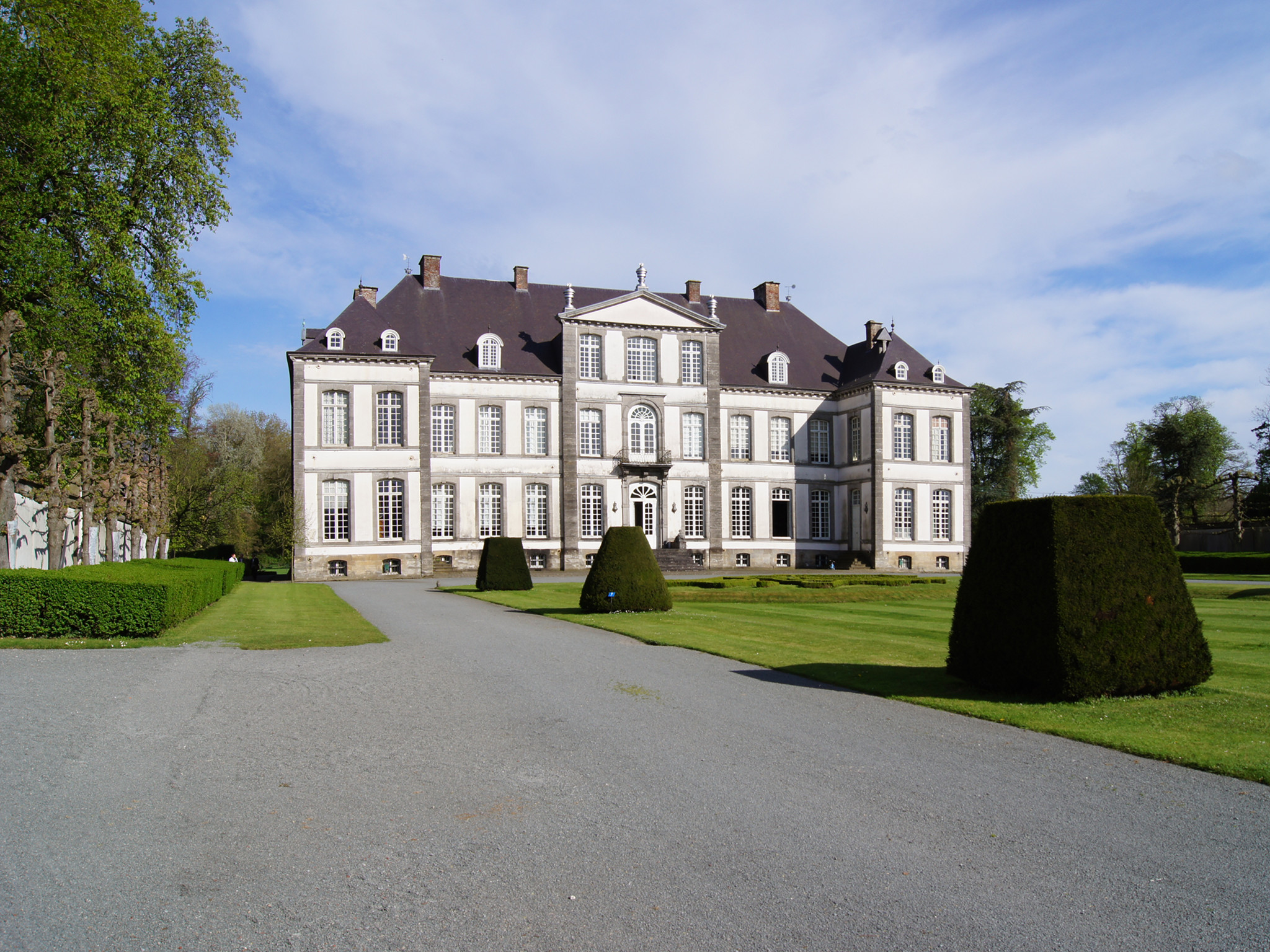
- Attre Castle
- Pairi Daiza (zoo and botanical garden)
References
- "Wettelijke Bevolking per gemeente op 1 januari 2018". Statbel. Retrieved 9 March 2019.
External links
 Media related to Brugelette at Wikimedia Commons
- Official web site (in French)
Municipalities in the province of Hainaut, Wallonia, Belgium | ||
|---|---|---|
| Ath |  | |
| Charleroi | ||
| La Louvière | ||
| Mons | ||
| Soignies | ||
| Thuin | ||
| Tournai-Mouscron | ||
Bold indicates cities · Italic indicates municipalities with language facilities | ||
Authority control | |
|---|---|
| General |
|
| National libraries | |
This Hainaut Province location article is a stub. You can help Wikipedia by expanding it. |
На других языках
[de] Brugelette
Brugelette ist eine belgische Gemeinde in der Provinz Hennegau. Die Gemeinde besteht aus den Ortschaften Brugelette, Attre, Cambron-Casteau, Gages und Mévergnies-lez-Lens.- [en] Brugelette
[ru] Брюжлет
Брюжле́т — коммуна в Валлонии, расположенная в провинции Эно, округ Ат. Принадлежит Французскому языковому сообществу Бельгии. На площади 28,40 км² проживают 3 284 человека (плотность населения — 116 чел./км²), из которых 49,09 % — мужчины и 50,91 % — женщины. Средний годовой доход на душу населения в 2003 году составлял 11 726 евро.Текст в блоке "Читать" взят с сайта "Википедия" и доступен по лицензии Creative Commons Attribution-ShareAlike; в отдельных случаях могут действовать дополнительные условия.
Другой контент может иметь иную лицензию. Перед использованием материалов сайта WikiSort.org внимательно изучите правила лицензирования конкретных элементов наполнения сайта.
Другой контент может иметь иную лицензию. Перед использованием материалов сайта WikiSort.org внимательно изучите правила лицензирования конкретных элементов наполнения сайта.
2019-2026
WikiSort.org - проект по пересортировке и дополнению контента Википедии
WikiSort.org - проект по пересортировке и дополнению контента Википедии