world.wikisort.org - Australia
Tinaroo is a rural locality in the Tablelands Region, Queensland, Australia.[2] In the 2016 census, Tinaroo had a population of 312 people.[1] The town of Tinaroo Falls is on the eastern edge of the locality (17.1683°S 145.5494°E) beside Lake Tinaroo.[3]
| Tinaroo Queensland | |||||||||||||||
|---|---|---|---|---|---|---|---|---|---|---|---|---|---|---|---|
 Tinaroo | |||||||||||||||
| Coordinates | 17.1677°S 145.5472°E | ||||||||||||||
| Population | 312 (2016 census)[1] | ||||||||||||||
| • Density | 15.45/km2 (40.00/sq mi) | ||||||||||||||
| Postcode(s) | 4872 | ||||||||||||||
| Area | 20.2 km2 (7.8 sq mi) | ||||||||||||||
| Time zone | AEST (UTC+10:00) | ||||||||||||||
| LGA(s) | Tablelands Region | ||||||||||||||
| State electorate(s) | Hill | ||||||||||||||
| Federal division(s) | Kennedy | ||||||||||||||
| |||||||||||||||
Geography
Tinaroo is located on the shore of Lake Tinaroo, a man-made reservoir.
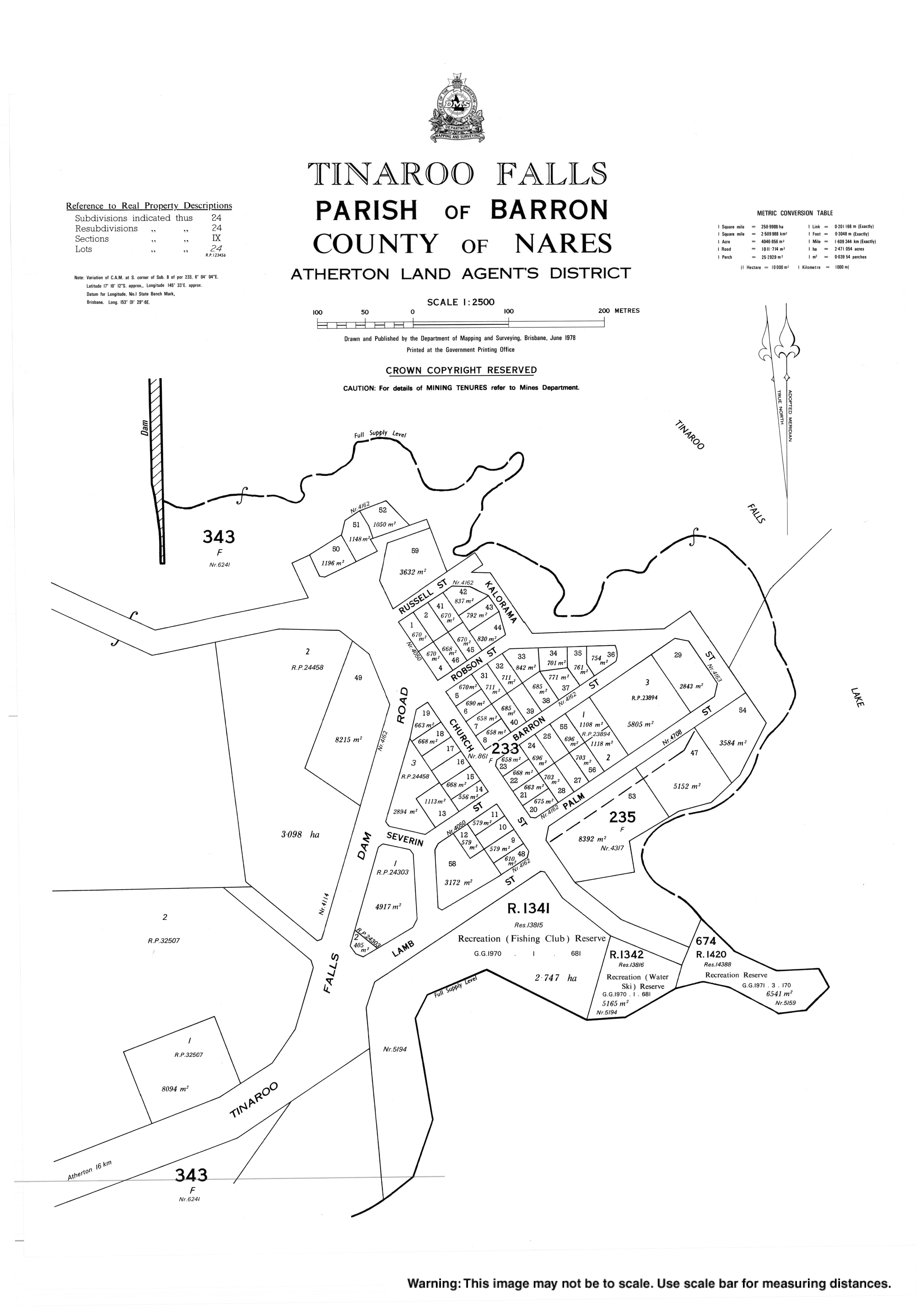
Despite the town's name, the waterfall of the same name is not in either the town or the locality but it is very close by in the neighbouring locality of Lake Tinaroo, which includes the Tinaroo Dam, the lake it impounds and the shoreline around the lake.[4]
History
The town and locality take their name from Tinaroo Creek, which is believed to derive from tin hurroo, a shout used by tin miners.[3]
At the 2006 census, Tinaroo had a population of 266.[5]
See also
- Lake Tinaroo
References
- Australian Bureau of Statistics (27 June 2017). "Tinaroo (SSC)". 2016 Census QuickStats. Retrieved 20 October 2018.
- "Tinaroo – locality in Tablelands Region (entry 48901)". Queensland Place Names. Queensland Government. Retrieved 30 October 2019.
- "Tinaroo Falls – town in Tablelands Region (entry 34607)". Queensland Place Names. Queensland Government. Retrieved 30 October 2019.
- "Tinaroo Falls – waterfall in the Tablelands Region (entry 34608)". Queensland Place Names. Queensland Government. Retrieved 1 November 2019.
- Australian Bureau of Statistics (25 October 2007). "Tinaroo (L) (Urban Centre/Locality)". 2006 Census QuickStats. Retrieved 25 June 2011.
External links
- "Tinaroo". Queensland Places. Centre for the Government of Queensland, University of Queensland.
- Town map of Tinaroo Falls, 1978
Другой контент может иметь иную лицензию. Перед использованием материалов сайта WikiSort.org внимательно изучите правила лицензирования конкретных элементов наполнения сайта.
WikiSort.org - проект по пересортировке и дополнению контента Википедии