world.wikisort.org - Australia
Upper Barron is a rural locality in the Tablelands Region, Queensland, Australia.[2] In the 2016 census, Upper Barron had a population of 451 people.[1]
| Upper Barron Queensland | |||||||||||||||
|---|---|---|---|---|---|---|---|---|---|---|---|---|---|---|---|
 Belson Road, Upper Barron | |||||||||||||||
 Upper Barron | |||||||||||||||
| Coordinates | 17.3888°S 145.5069°E | ||||||||||||||
| Population | 451 (2016 census)[1] | ||||||||||||||
| • Density | 4.320/km2 (11.189/sq mi) | ||||||||||||||
| Postcode(s) | 4883 | ||||||||||||||
| Area | 104.4 km2 (40.3 sq mi) | ||||||||||||||
| Time zone | AEST (UTC+10:00) | ||||||||||||||
| LGA(s) | Tablelands Region | ||||||||||||||
| State electorate(s) | Hill | ||||||||||||||
| Federal division(s) | Kennedy | ||||||||||||||
| |||||||||||||||
History
Upper Barron State School opened on 31 January 1911.[3] It was mothballed on 31 December 2008 as there were only nine students.[4][5] It closed on 31 December 2009.[6] It was at 9570 Kennedy Highway (17.3827°S 145.5145°E).[7][8] The school's website was archived.[9]
In the 2016 census, Upper Barron had a population of 451 people.[1]
References
- Australian Bureau of Statistics (27 June 2017). "Upper Barron (SSC)". 2016 Census QuickStats. Retrieved 20 October 2018.
- "Upper Barron – locality in Tablelands Region (entry 48912)". Queensland Place Names. Queensland Government. Retrieved 29 December 2020.
- Queensland Family History Society (2010), Queensland schools past and present (Version 1.01 ed.), Queensland Family History Society, ISBN 978-1-921171-26-0
- "Opening and closing dates of Queensland Schools". Queensland Government. Retrieved 28 January 2021.
- "No reprieve for Upper Barron State School". ABC News. 21 December 2008. Archived from the original on 5 May 2018. Retrieved 28 January 2021.
- "Queensland state school - centre closures" (PDF). Queensland Government. 20 August 2013. Archived (PDF) from the original on 20 March 2022. Retrieved 6 April 2022.
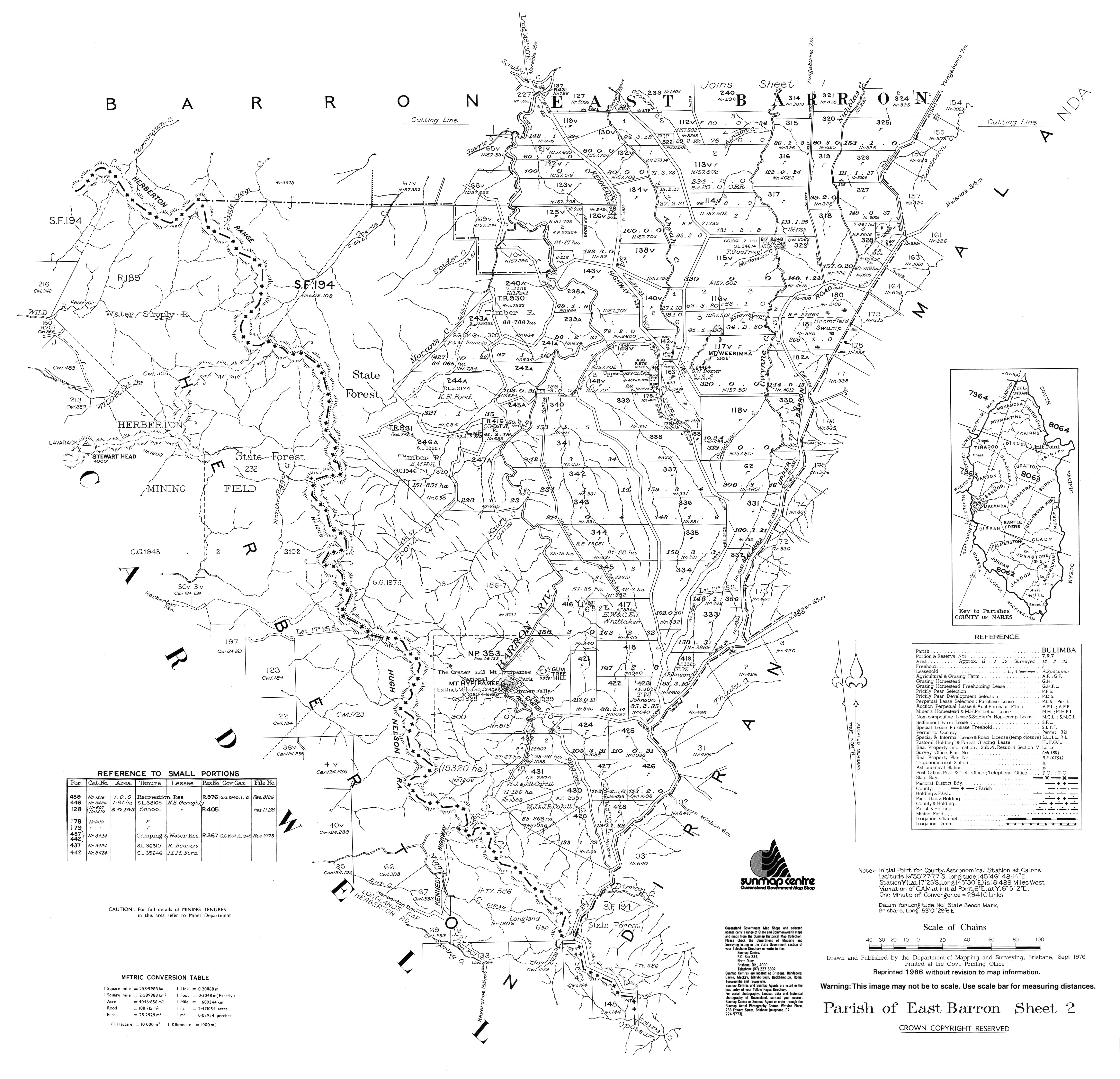
- "Parish of East Barron, Sheet 2" (Map). Queensland Government. 1976. Archived from the original on 13 April 2022. Retrieved 13 April 2022.
- "Queensland Globe". State of Queensland. Retrieved 13 April 2022.
- "Welcome to Upper Barron State School: Learning is Living". Upper Barron State School. 10 October 2008. Archived from the original on 10 October 2008. Retrieved 13 April 2022.
This Queensland location article is a stub. You can help Wikipedia by expanding it. |
Текст в блоке "Читать" взят с сайта "Википедия" и доступен по лицензии Creative Commons Attribution-ShareAlike; в отдельных случаях могут действовать дополнительные условия.
Другой контент может иметь иную лицензию. Перед использованием материалов сайта WikiSort.org внимательно изучите правила лицензирования конкретных элементов наполнения сайта.
Другой контент может иметь иную лицензию. Перед использованием материалов сайта WikiSort.org внимательно изучите правила лицензирования конкретных элементов наполнения сайта.
2019-2026
WikiSort.org - проект по пересортировке и дополнению контента Википедии
WikiSort.org - проект по пересортировке и дополнению контента Википедии