world.wikisort.org - Australia
Jaggan is a rural town and locality in the Tablelands Region, Queensland, Australia.[2][3] In the 2016 census, the locality of Jaggan had a population of 188 people.[1]
| Jaggan Queensland | |||||||||||||||
|---|---|---|---|---|---|---|---|---|---|---|---|---|---|---|---|
 Jaggan | |||||||||||||||
| Coordinates | 17.3941°S 145.5991°E | ||||||||||||||
| Population | 188 (2016 census)[1] | ||||||||||||||
| • Density | 5.839/km2 (15.12/sq mi) | ||||||||||||||
| Postcode(s) | 4885 | ||||||||||||||
| Area | 32.2 km2 (12.4 sq mi) | ||||||||||||||
| Time zone | AEST (UTC+10:00) | ||||||||||||||
| LGA(s) | Tablelands Region | ||||||||||||||
| State electorate(s) | Hill | ||||||||||||||
| Federal division(s) | Kennedy | ||||||||||||||
| |||||||||||||||
History
The area was originally called Bunjara Burra. The town takes its present name from the Jaggan railway station, which in turn was named by the Queensland Railways Department on 31 August 1915. Jaggan is an Aboriginal word meaning thick scrub with lawyer vines.[2]
The town surveyed in October 1916.[2]
Jaggan State School opened on 2 April 1918.[4] In August 1924, the Queensland Government committed to constructing a new school building at a cost of £640.[5] It closed in 1965.[4]
In the 2016 census, the locality of Jaggan had a population of 188 people.[1]
References
- Australian Bureau of Statistics (27 June 2017). "Jaggan (SSC)". 2016 Census QuickStats. Retrieved 20 October 2018.
- "Jaggan – town in Tablelands Region (entry 17018)". Queensland Place Names. Queensland Government. Retrieved 29 December 2020.
- "Jaggan – locality in Tablelands Region (entry 48682)". Queensland Place Names. Queensland Government. Retrieved 29 December 2020.
- "Opening and closing dates of Queensland Schools". Queensland Government. Retrieved 10 January 2016.
- "NEW STATE SCHOOLS". The Brisbane Courier. 23 August 1924. p. 16. Archived from the original on 10 March 2021. Retrieved 11 January 2016 – via National Library of Australia.
External links
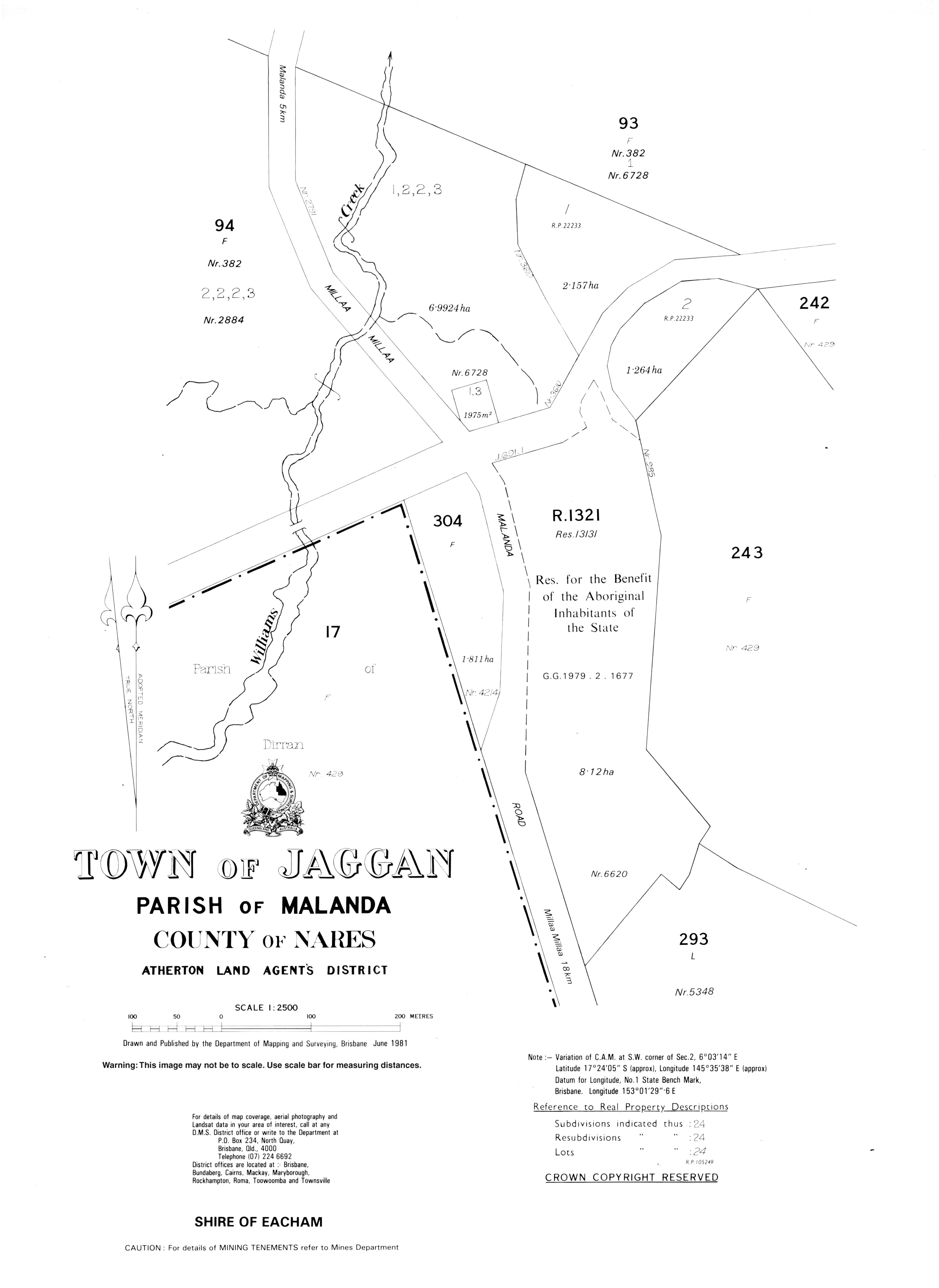
- "Town map of Jaggan". Queensland Government. 1981.
Текст в блоке "Читать" взят с сайта "Википедия" и доступен по лицензии Creative Commons Attribution-ShareAlike; в отдельных случаях могут действовать дополнительные условия.
Другой контент может иметь иную лицензию. Перед использованием материалов сайта WikiSort.org внимательно изучите правила лицензирования конкретных элементов наполнения сайта.
Другой контент может иметь иную лицензию. Перед использованием материалов сайта WikiSort.org внимательно изучите правила лицензирования конкретных элементов наполнения сайта.
2019-2025
WikiSort.org - проект по пересортировке и дополнению контента Википедии
WikiSort.org - проект по пересортировке и дополнению контента Википедии