world.wikisort.org - Australia
The Falls is a rural locality in the Southern Downs Region, Queensland, Australia.[2] In the 2016 census The Falls had a population of 70 people.[1]
| The Falls Queensland | |||||||||||||||
|---|---|---|---|---|---|---|---|---|---|---|---|---|---|---|---|
 The Falls | |||||||||||||||
| Coordinates | 28.3172°S 152.3947°E | ||||||||||||||
| Population | 70 (2016 census)[1] | ||||||||||||||
| • Density | 1.26/km2 (3.27/sq mi) | ||||||||||||||
| Postcode(s) | 4373 | ||||||||||||||
| Area | 55.5 km2 (21.4 sq mi) | ||||||||||||||
| Time zone | AEST (UTC+10:00) | ||||||||||||||
| Location |
| ||||||||||||||
| LGA(s) | Southern Downs Region | ||||||||||||||
| State electorate(s) | Southern Downs | ||||||||||||||
| Federal division(s) | Maranoa | ||||||||||||||
| |||||||||||||||
It borders New South Wales.[3]
History
The location presumably takes its name from the Queen Mary Falls on Spring Creek within the locality.[4]
Ferndale Provisional School opened on 9 November 1948. In 1953 it became The Falls State School in 1953. The school closed on 26 August 1974.[5] The school was located at 902 Spring Creek Road (28.3315°S 152.3885°E).[6][3]
In the 2016 census The Falls had a population of 70 people.[1]
Attractions
There are a number of attractions in the locality:
- Queen Mary Falls Lookout in the Main Range National Park, opposite 676 Spring Creek Road (28.3396°S 152.3733°E)[7][8]
- Carrs Lookout, 1503 Spring Creek Road (28.2931°S 152.4160°E)[7][9]
- Moss Gardens, Spring Creek Road about 2 kilometres (1.2 mi) after Carrs Lookout (28.2940°S 152.4433°E)[7][10]
References
- Australian Bureau of Statistics (27 June 2017). "The Falls (SSC)". 2016 Census QuickStats. Retrieved 20 October 2018.
- "The Falls – locality in Southern Downs Region (entry 50082)". Queensland Place Names. Queensland Government. Retrieved 29 December 2020.
- "Queensland Globe". State of Queensland. Retrieved 5 May 2020.
- "Queen Mary Falls – waterfall in the Southern Downs Region (entry 27792)". Queensland Place Names. Queensland Government. Retrieved 2 January 2017.
- Queensland Family History Society (2010), Queensland schools past and present (Version 1.01 ed.), Queensland Family History Society, ISBN 978-1-921171-26-0
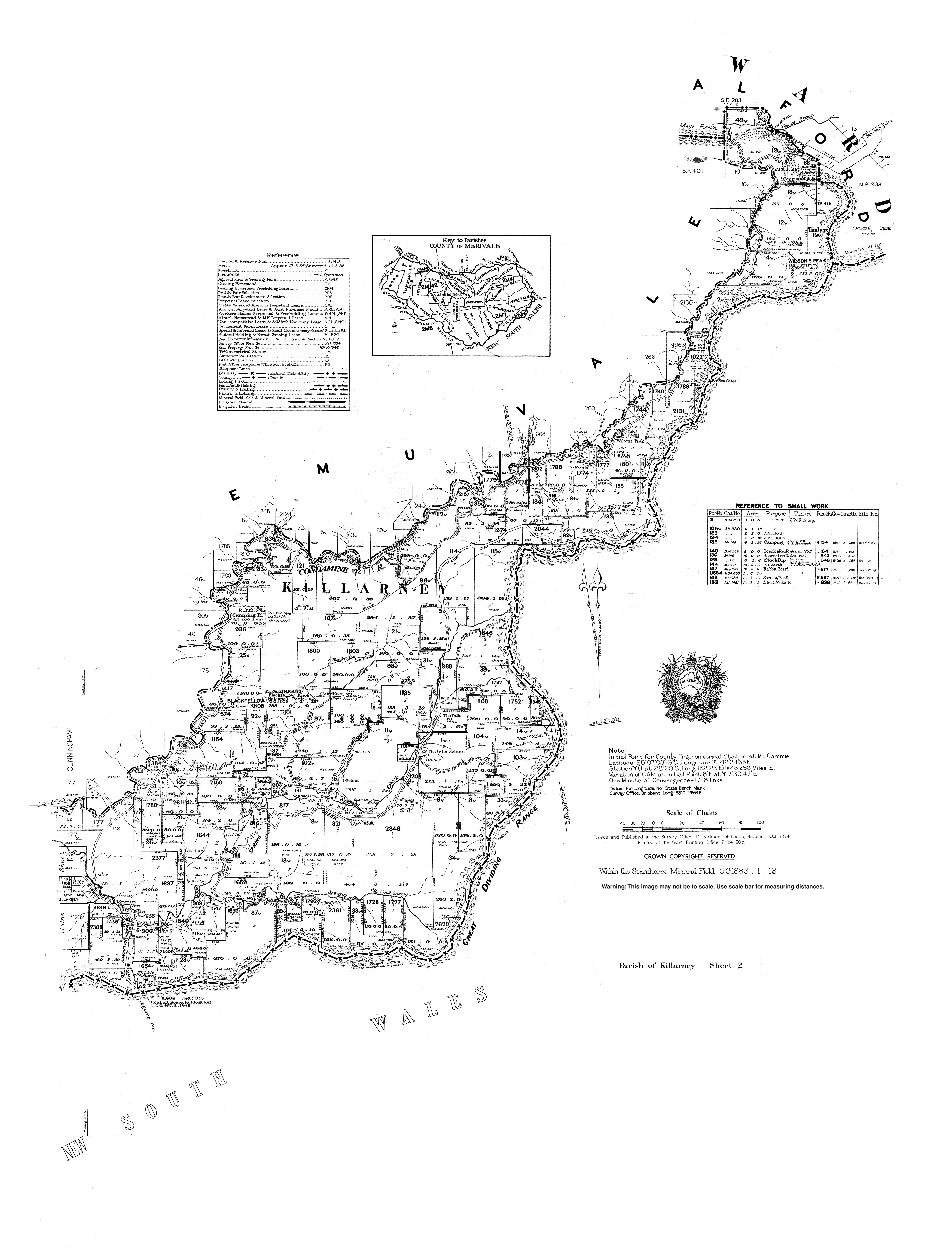
- "Parish of Killarney map, sheet 2". Queensland Government. 1974. Archived from the original on 27 January 2021. Retrieved 19 November 2019.
- "Tourist points - Queensland". Queensland Open Data. Queensland Government. 18 November 2020. Archived from the original on 24 November 2020. Retrieved 24 November 2020.
- "Queen Mary Falls". Southern Downs & Granite Belt. Southern Downs Regional Council. Archived from the original on 16 November 2020. Retrieved 27 January 2021.
- "Carr's Lookout". Southern Downs & Granite Belt. Southern Downs Regional Council. Archived from the original on 19 September 2020. Retrieved 27 January 2021.
- "The Falls Drive". Southern Downs & Granite Belt. Southern Downs Regional Council. Archived from the original on 5 January 2021. Retrieved 27 January 2021.
Текст в блоке "Читать" взят с сайта "Википедия" и доступен по лицензии Creative Commons Attribution-ShareAlike; в отдельных случаях могут действовать дополнительные условия.
Другой контент может иметь иную лицензию. Перед использованием материалов сайта WikiSort.org внимательно изучите правила лицензирования конкретных элементов наполнения сайта.
Другой контент может иметь иную лицензию. Перед использованием материалов сайта WikiSort.org внимательно изучите правила лицензирования конкретных элементов наполнения сайта.
2019-2026
WikiSort.org - проект по пересортировке и дополнению контента Википедии
WikiSort.org - проект по пересортировке и дополнению контента Википедии