world.wikisort.org - Armenia
Makenis (Armenian: Մաքենիս) is a village in the Gegharkunik Province of Armenia.
Makenis
Մաքենիս | |
|---|---|
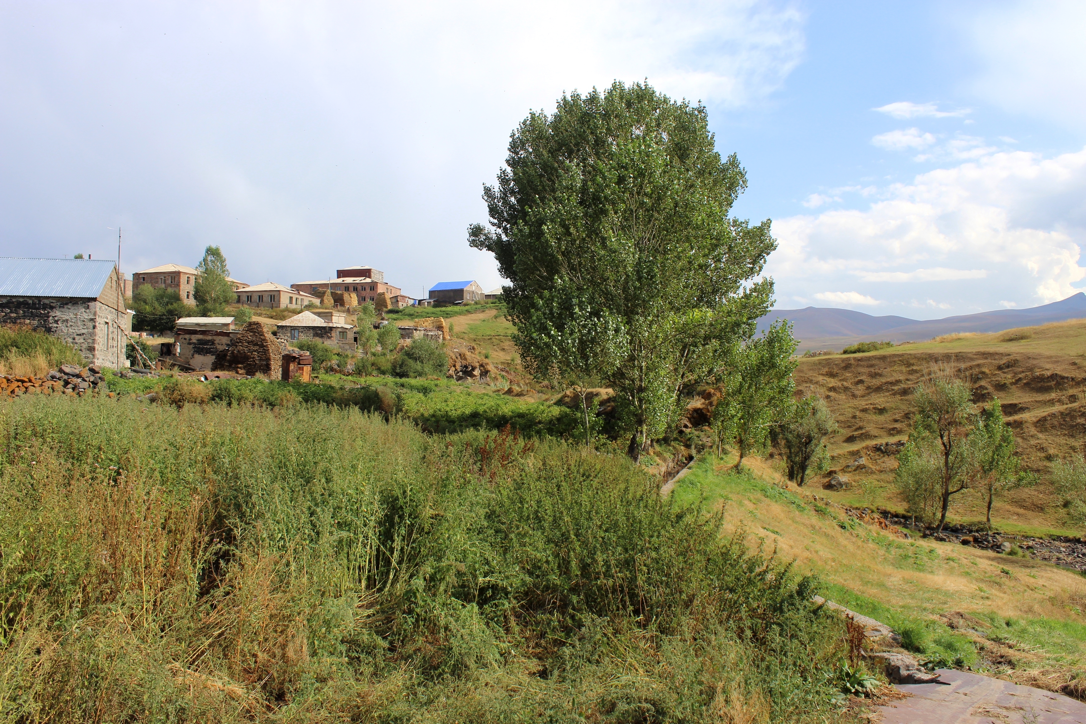 The village of Makenis overlooking the gorge, as seen from Makenyats Vank. | |
 Makenis  Makenis | |
| Coordinates: 40°07′26″N 45°36′39″E | |
| Country | |
| Province | Gegharkunik |
| Population (2011)[1] | |
| • Total | 405 |
| Time zone | UTC+4 (AMT) |
| Makenis at GEOnet Names Server | |
History
The Makenyats Vank monastery in the village was a major cultural and educational center of medieval Gegharkunik, with structures dating from the 9th to 13th centuries.[2]
Gallery
 Makenyats Vank
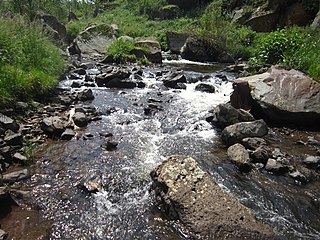 River near Makenyats Vank
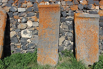 Khachkars around Makenyats Vank
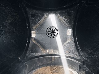 The dome of Makenyats Vank


References
- Statistical Committee of Armenia. "The results of the 2011 Population Census of Armenia" (PDF).
- Kiesling, Brady; Kojian, Raffi (2005). Rediscovering Armenia: Guide (2nd ed.). Yerevan: Matit Graphic Design Studio. p. 81. ISBN 99941-0-121-8.
External links
Wikimedia Commons has media related to Makenis.
- Report of the results of the 2001 Armenian Census, Statistical Committee of Armenia
- Brady Kiesling, Rediscovering Armenia, p. 47; original archived at Archive.org, and current version online on Armeniapedia.org.
Capital: Gavar | ||
| Urban communities |  | |
| Rural communities |
| |
| Non-community settlements |
| |
| Abandoned settlements | ||
This article about a location in Gegharkunik Province, Armenia is a stub. You can help Wikipedia by expanding it. |
На других языках
[de] Makenis
Makenis (armenisch Մաքենիս .mw-parser-output .Latn{font-family:"Akzidenz Grotesk","Arial","Avant Garde Gothic","Calibri","Futura","Geneva","Gill Sans","Helvetica","Lucida Grande","Lucida Sans Unicode","Lucida Grande","Stone Sans","Tahoma","Trebuchet","Univers","Verdana"}Mak’enis, auch bekannt als Qizilveng oder Maqenis) ist ein Dorf in der Provinz Gegharkunik, Armenien.[1]- [en] Makenis
[ru] Макенис
Макенис (арм. Մաքենիս) — село в Армении, в Гехаркуникском марзе. Расположено в долине реки Карчахпюр в 67 км к юго-востоку от областного центра.Текст в блоке "Читать" взят с сайта "Википедия" и доступен по лицензии Creative Commons Attribution-ShareAlike; в отдельных случаях могут действовать дополнительные условия.
Другой контент может иметь иную лицензию. Перед использованием материалов сайта WikiSort.org внимательно изучите правила лицензирования конкретных элементов наполнения сайта.
Другой контент может иметь иную лицензию. Перед использованием материалов сайта WikiSort.org внимательно изучите правила лицензирования конкретных элементов наполнения сайта.
2019-2026
WikiSort.org - проект по пересортировке и дополнению контента Википедии
WikiSort.org - проект по пересортировке и дополнению контента Википедии