world.wikisort.org - USA
Summerfield is a census-designated place near Landover in Prince George's County, Maryland. As of the 2020 census, the population was 14,758.[2] It is a suburb of Washington, D.C.
Summerfield, Maryland | |
|---|---|
Census-designated place | |
 Summerfield Location within the state of Maryland  Summerfield Summerfield (the United States) | |
| Coordinates: 38°54′N 76°52′W | |
| Country | |
| State | |
| County | |
| Area | |
| • Total | 3.65 sq mi (9.46 km2) |
| • Land | 3.64 sq mi (9.43 km2) |
| • Water | 0.01 sq mi (0.03 km2) |
| Elevation | 240 ft (70 m) |
| Population (2020) | |
| • Total | 14,758 |
| • Density | 4,054.40/sq mi (1,565.38/km2) |
| Time zone | UTC−5 (Eastern (EST)) |
| • Summer (DST) | UTC−4 (EDT) |
| Area code(s) | 301, 240 |
| FIPS code | 24-75810 |
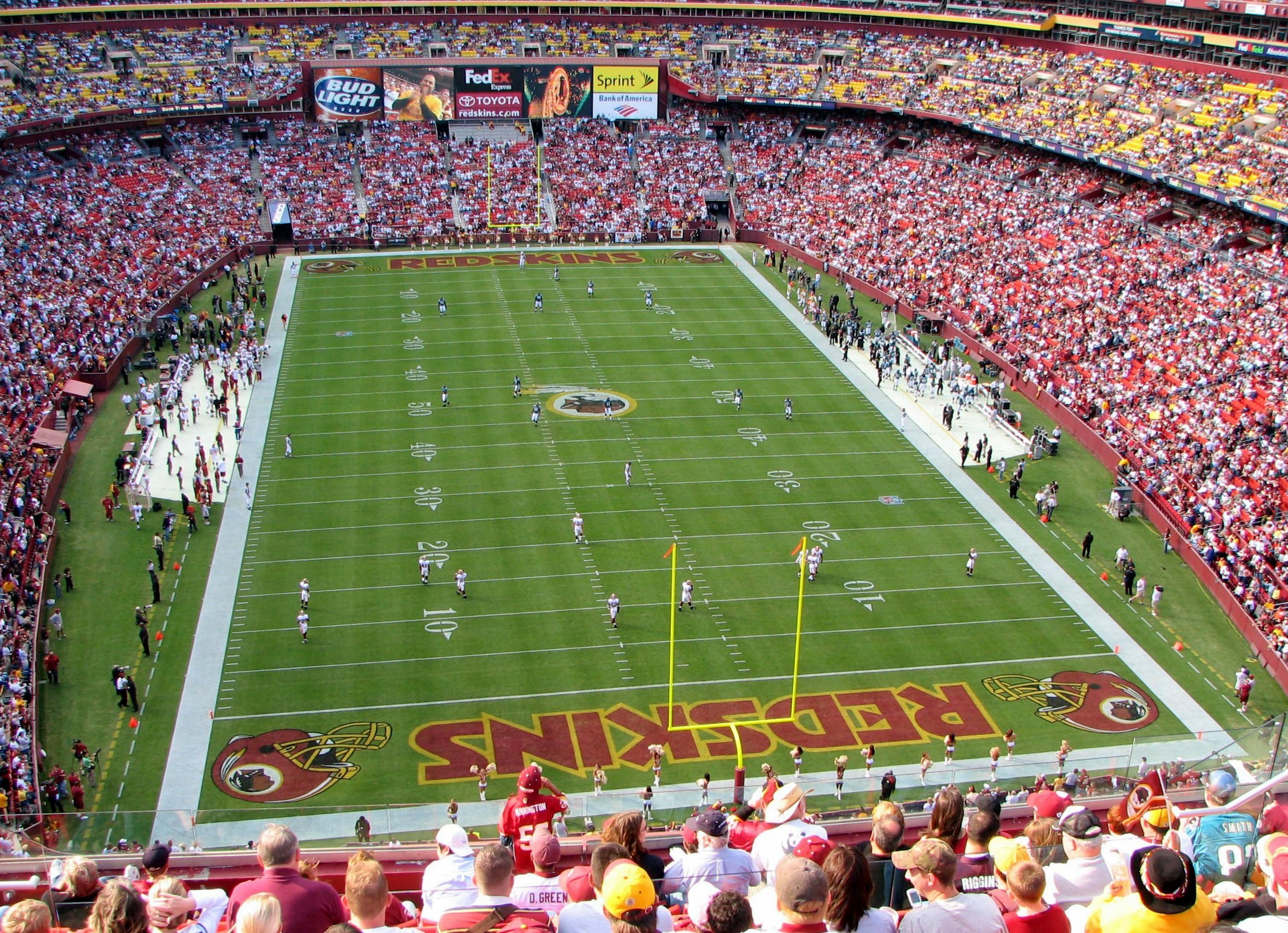
FedExField is located in Summerfield CDP,[3][4] as is the Prince George's County Sports and Learning Complex.[5]
Prior to the 2010 Census, the area was not covered by another census-designated place.[6]
Geography
According to the U.S. Census Bureau, Summerfield has a total area of 3.6 square miles (9.4 km2), of which 0.012 square miles (0.03 km2), or 0.03%, is water.[7] The CDP is bordered to the east by the Capital Beltway (I-495/95) and to the south by Maryland Route 214 (Central Avenue). The CDP of Landover borders Summerfield to the north, the city of Glenarden is to the northeast, Lake Arbor is to the east, Largo is to the southeast, Walker Mill is to the southwest, and Peppermill Village and Seat Pleasant border Summerfield to the west.
Demographics
| Historical population | |||
|---|---|---|---|
| Census | Pop. | %± | |
| 2010 | 10,898 | — | |
| 2020 | 14,758 | 35.4% | |
| U.S. Decennial Census[8] 2010[9] 2020[10] | |||
2020 census
| Race / Ethnicity | Pop 2010[9] | Pop 2020[10] | % 2010 | % 2020 |
|---|---|---|---|---|
| White alone (NH) | 178 | 264 | 1.63% | 1.79% |
| Black or African American alone (NH) | 9,861 | 12,757 | 90.48% | 86.44% |
| Native American or Alaska Native alone (NH) | 21 | 36 | 0.19% | 0.24% |
| Asian alone (NH) | 141 | 143 | 1.29% | 0.97% |
| Pacific Islander alone (NH) | 3 | 1 | 0.03% | 0.01% |
| Some Other Race alone (NH) | 15 | 83 | 0.14% | 0.56% |
| Mixed Race/Multi-Racial (NH) | 186 | 423 | 1.71% | 2.87% |
| Hispanic or Latino (any race) | 493 | 1,051 | 4.52% | 7.12% |
| Total | 10,898 | 14,758 | 100.00% | 100.00% |
Note: the US Census treats Hispanic/Latino as an ethnic category. This table excludes Latinos from the racial categories and assigns them to a separate category. Hispanics/Latinos can be of any race.
Education
Summerfield's public schools are managed by Prince George's County Public Schools.[3]
Zoned elementary schools include Highland Park, William Paca, and Cora L. Rice.[11] Zoned middle schools include G. James Gholson and Kenmoor.[12] Zoned high schools include Central High School, Fairmont Heights High School, and Charles Herbert Flowers High School.[13]
John Carroll Elementary School was previously located in what is now Summerfield CDP.[14] It was scheduled to close in 2009.[15]
Transportation
Washington Metro operates the Morgan Boulevard station in Summerfield CDP.[3][16]
Raljon
Raljon was the name of area around FedExField, home of the Washington Redskins (the current Washington Commanders). Former team owner Jack Kent Cooke derived the name from the names of his sons, Ralph and John. Introduced in 1997, the name enjoyed almost no currency beyond the team, NFL press releases, television and radio partners, and the U.S. Postal Service, which granted Cooke's request that the area be officially recognized.[17] Tony Kornheiser, in a column criticizing the name, wrote, "Lucky for us, Cooke didn't name his kids Peter and Ennis (penis)."[18] Daniel Snyder discontinued the use of the name when he bought the franchise in 1999.[17]
References
- "2020 U.S. Gazetteer Files". United States Census Bureau. Retrieved April 26, 2022.
- "Summerfield CDP, Maryland". United States Census Bureau. Retrieved April 15, 2022.
- "2010 CENSUS - CENSUS BLOCK MAP: Summerfield CDP, MD" (PDF). U.S. Census Bureau. Retrieved 2018-09-07.
- "FedExField." State of Maryland Office of Tourism Development. Retrieved on September 7, 2018. "1600 FedEx Way, Landover, MD 20785" - See also parking map from Washington Football Team website
- "Fedexfield Parking and Directions." Washington Redskins. Retrieved on September 7, 2018. "[...]Prince George’s County Sports Complex located at 8001 Sheriff Rd, Hyattsville MD 20785."
- "Prince George's County Census Incorporated Places & Census Designated Places." Maryland Department of Planning. Retrieved on September 8, 2018.
- "Geographic Identifiers: 2010 Demographic Profile Data (G001): Summerfield CDP, Maryland". United States Census Bureau. Retrieved December 16, 2011.
- "Decennial Census of Population and Housing by Decades". US Census Bureau.
- "P2 HISPANIC OR LATINO, AND NOT HISPANIC OR LATINO BY RACE – 2010: DEC Redistricting Data (PL 94-171) – Summerfield CDP, Maryland". United States Census Bureau.
- "P2 HISPANIC OR LATINO, AND NOT HISPANIC OR LATINO BY RACE – 2020: DEC Redistricting Data (PL 94-171) – Summerfield CDP, Maryland". United States Census Bureau.
- "NEIGHBORHOOD ELEMENTARY SCHOOLS AND BOUNDARIES SCHOOL YEAR 2018-2019." Prince George's County Public Schools. Retrieved on September 7, 2018.
- "NEIGHBORHOOD MIDDLE SCHOOLS AND BOUNDARIES SCHOOL YEAR 2018-2019." Prince George's County Public Schools. Retrieved on September 7, 2018.
- "NEIGHBORHOOD HIGH SCHOOLS AND BOUNDARIES SCHOOL YEAR 2018-2019." Prince George's County Public Schools. Retrieved on September 7, 2018.
- Home. John Carroll Elementary School. Retrieved on September 8, 2018. "1400 Nalley Terrace Landover, MD 20785"
- Preliminary Subregion 4 Master Plan and Proposed Sectional Map Amendment. Maryland-National Capital Park and Planning Commission. Chapter 9, Public Facilities. p. 261 (PDF p. 3/28). Retrieved on September 7, 2018.
- "Morgan Boulevard." Washington Metro. Retrieved on September 7, 2018. "300 Garrett Morgan Blvd. Landover, MD 20785"
- "Goodbye to Raljon, and good riddance". Baltimore Sun. August 20, 1999.
- "Name that Town".
External links

Другой контент может иметь иную лицензию. Перед использованием материалов сайта WikiSort.org внимательно изучите правила лицензирования конкретных элементов наполнения сайта.
WikiSort.org - проект по пересортировке и дополнению контента Википедии