world.wikisort.org - USA
Navesink Beach is an unincorporated community located within Sea Bright in Monmouth County, New Jersey, United States.[2][3] It is one of the four main built-up areas of Sea Bright and is the northernmost settled area of the borough.[3] Navesink Beach is a former stop on the New Jersey Southern Railroad.[4] The Sea Bright–Monmouth Beach Seawall passes through the neighborhood and Normandie.
Navesink Beach, New Jersey | |
|---|---|
Unincorporated community | |
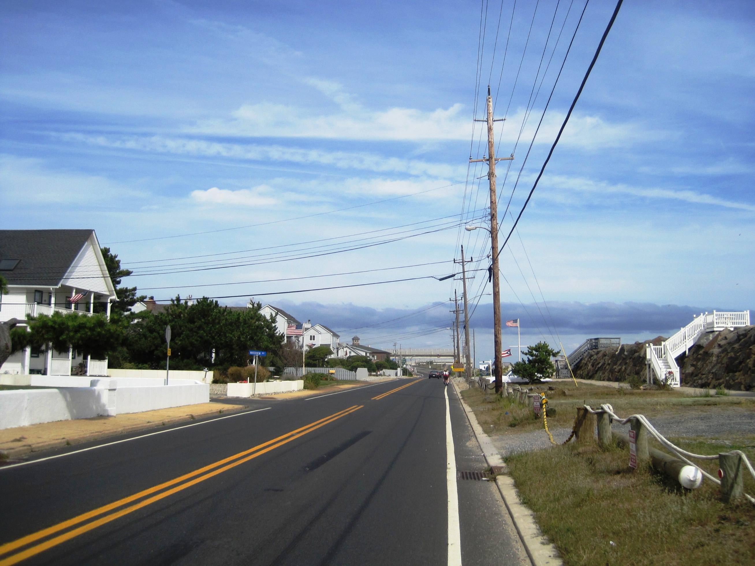 Route 36 and Waterview Way looking north; the entrance to Sandy Hook is ahead | |
 Navesink Beach, New Jersey Location of Navesink Beach in Monmouth County Inset: Location of county within the state of New Jersey  Navesink Beach, New Jersey Navesink Beach, New Jersey (New Jersey)  Navesink Beach, New Jersey Navesink Beach, New Jersey (the United States) | |
| Coordinates: 40°23′22″N 73°58′31″W | |
| Country | |
| State | |
| County | Monmouth |
| Borough | Sea Bright |
| Elevation | 7 ft (2 m) |
| GNIS feature ID | 882600[1] |
References
- "Navesink Beach". Geographic Names Information System. United States Geological Survey.
- "NJDOT Graphic Information System Maps Salem" (PDF). New Jersey Department of Transportation. Retrieved March 29, 2020.
- Google (February 27, 2015). "Navesink Beach, Sea Bright, New Jersey" (Map). Google Maps. Google. Retrieved February 27, 2015.
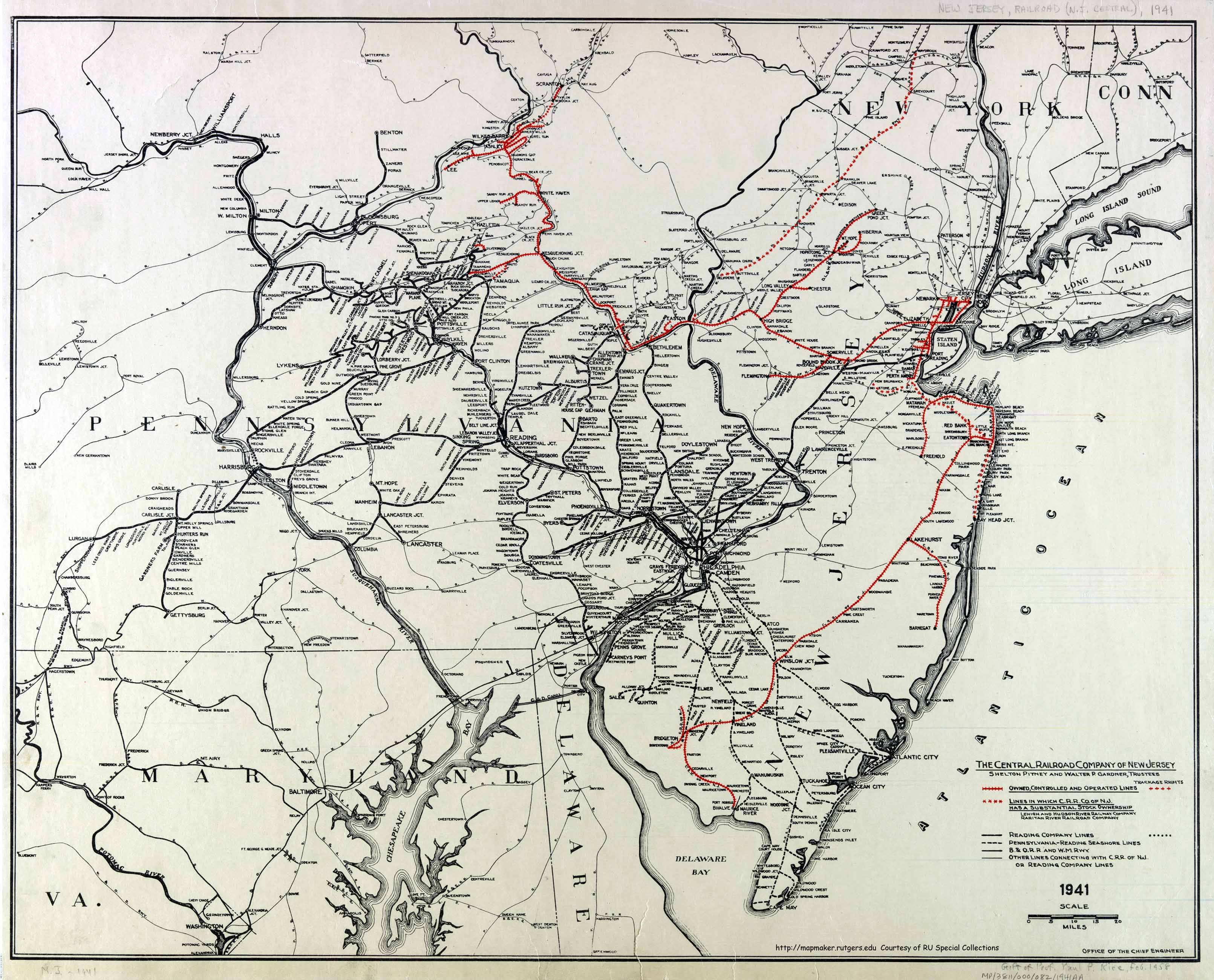
- Office of the Chief Engineer (1941). The Central Railroad Company of New Jersey (Map). Central Railroad of New Jersey. Retrieved October 4, 2015.
Municipalities and communities of Monmouth County, New Jersey, United States | ||
|---|---|---|
County seat: Freehold Borough | ||
| Cities |
|  |
| Boroughs |
| |
| Townships |
| |
| Village | ||
| CDPs |
| |
| Other unincorporated communities |
| |
| ||
This Monmouth County, New Jersey state location article is a stub. You can help Wikipedia by expanding it. |
Текст в блоке "Читать" взят с сайта "Википедия" и доступен по лицензии Creative Commons Attribution-ShareAlike; в отдельных случаях могут действовать дополнительные условия.
Другой контент может иметь иную лицензию. Перед использованием материалов сайта WikiSort.org внимательно изучите правила лицензирования конкретных элементов наполнения сайта.
Другой контент может иметь иную лицензию. Перед использованием материалов сайта WikiSort.org внимательно изучите правила лицензирования конкретных элементов наполнения сайта.
2019-2025
WikiSort.org - проект по пересортировке и дополнению контента Википедии
WikiSort.org - проект по пересортировке и дополнению контента Википедии