world.wikisort.org - USA
Jerome County is a county in the U.S. state of Idaho. As of the 2010 Census the county had a population of 22,374.[1] The county seat and largest city is Jerome.[2] The county was created by the Idaho Legislature on February 8, 1919, by a partition of Lincoln County. It was named after either Jerome Hill, a developer of the North Side Irrigation Project, his son-in-law Jerome Kuhn, or his grandson Jerome Kuhn, Jr.[3]
Jerome County | |
|---|---|
U.S. county | |
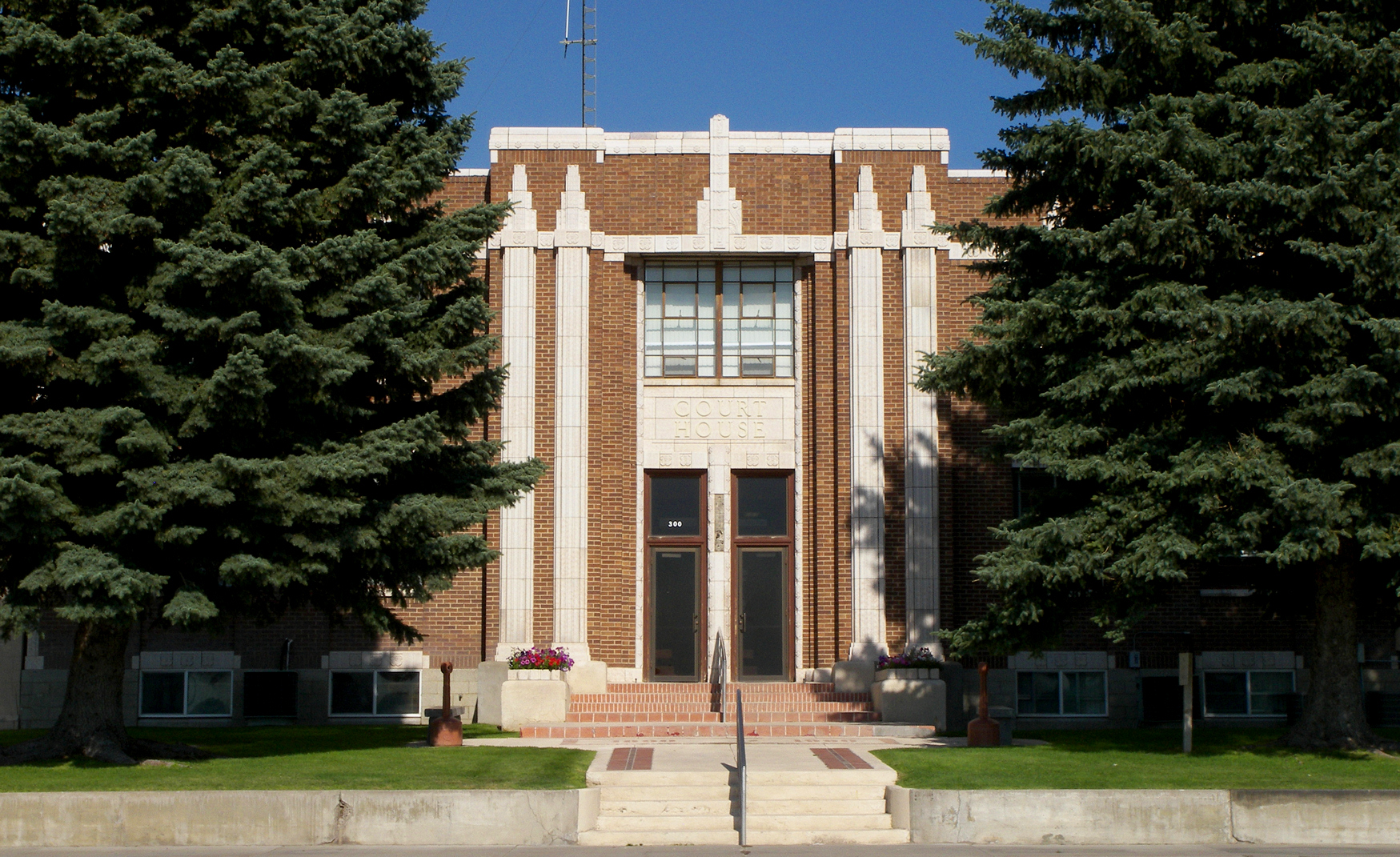 Jerome County Courthouse | |
 Seal | |
 Location within the U.S. state of Idaho | |
 Idaho's location within the U.S. | |
| Coordinates: 42°41′N 114°16′W | |
| Country | |
| State | |
| Founded | February 8, 1919 |
| Seat | Jerome |
| Largest city | Jerome |
| Area | |
| • Total | 602 sq mi (1,560 km2) |
| • Land | 597 sq mi (1,550 km2) |
| • Water | 5.0 sq mi (13 km2) 0.8% |
| Population (2010) | |
| • Total | 22,374 |
| • Estimate (2020) | 24,578 |
| • Density | 37/sq mi (14/km2) |
| Time zone | UTC−7 (Mountain) |
| • Summer (DST) | UTC−6 (MDT) |
| Congressional district | 2nd |
| Website | www |
Jerome County is part of the Twin Falls, ID Micropolitan Statistical Area.
The Minidoka Relocation Camp, one of ten Japanese American internment camps set up during World War II, was located in Jerome County, six miles (9.6 km) north of Eden.
Geography
According to the U.S. Census Bureau, the county has a total area of 602 square miles (1,560 km2), of which 597 square miles (1,550 km2) is land and 5.0 square miles (13 km2) (0.8%) is water.[4]
History
Jerome county's settlements are among Idaho's youngest. While Jerome County was located quite close to the Oregon Trail and subsequent stagecoach lines, it was also divided from them by the 500-ft (152 m) deep Snake River Canyon. The depth of the canyon also eliminated the possibility of drawing water for farming operations. Together, those factors made the area unattractive to early Idahoans looking to settle during the territorial and early statehood era. Construction of the railroad across Idaho in the 1880s also bypassed the Jerome area with the route being run 16 miles (26 km) north of the present center of Jerome City. A ferry commenced operation at Shoshone Falls on April 15, 1884, facilitating travel between the railroad and settlements south of the Snake River.[5]
The Schodde settlement on Jerome County's western border north of Milner was established as the Schoddie Precinct under Lincoln County with a 1900 census population of 24.[6] Completion of the Milner Dam and associated Northside Canal in 1905 brought a water supply to the north side of the Snake River that also brought farmers to the region.[7] Eden and Hazelton were settled starting in 1905. Settlement at Jerome commenced September 30, 1907 and the Idaho Southern Railway reached Jerome on December 28, 1908. By the 1910 Census, Jerome Village contained 970 residents having been incorporated in 1909. Also by that time, Lincoln County established two precincts of Hillsdale (400 residents) and Jerome (2,032 residents). The towns of Eden and Hazelton were part of the Hillsdale precinct and the Schoddie precinct ceased to exist.[8][9] By the 1920 Census, Eden and Hazelton also were incorporated as villages.
Jerome, Eden, and Hazelton were all part of Lincoln County at their formation. Eden and Hazelton became part of Minidoka County at its creation in 1913. Jerome County became the 43rd of Idaho's 44 counties on February 8, 1911. It is three days older than Caribou County.[10]
Adjacent counties
- Lincoln County - north
- Gooding County - west
- Twin Falls County - south
- Cassia County - southeast
- Minidoka County - east
Major highways
 Interstate 84
 US 93
US 93 SH-25
SH-25 SH-79
SH-79
National protected areas
- Minidoka National Historic Site
Demographics
| Historical population | |||
|---|---|---|---|
| Census | Pop. | %± | |
| 1920 | 5,729 | — | |
| 1930 | 8,358 | 45.9% | |
| 1940 | 9,900 | 18.4% | |
| 1950 | 12,080 | 22.0% | |
| 1960 | 11,712 | −3.0% | |
| 1970 | 10,253 | −12.5% | |
| 1980 | 14,840 | 44.7% | |
| 1990 | 15,138 | 2.0% | |
| 2000 | 18,342 | 21.2% | |
| 2010 | 22,374 | 22.0% | |
| 2020 (est.) | 24,578 | [11] | 9.9% |
| U.S. Decennial Census[12] 1790-1960[13] 1900-1990[14] 1990-2000[15] 2010-2020[1] | |||
2000 census
As of the census[16] of 2000, there were 18,342 people, 6,298 households, and 4,805 families residing in the county. The population density was 31 inhabitants per square mile (12/km2). There were 6,713 housing units at an average density of 11 per square mile (4/km2). The racial makeup of the county was 86.99% White, 0.23% Black or African American, 0.69% Native American, 0.27% Asian, 0.05% Pacific Islander, 9.84% from other races, and 1.94% from two or more races. 17.17% of the population were Hispanic or Latino of any race. 15.4% were of English, 15.3% German, 11.6% American and 6.2% Irish ancestry.
There were 6,298 households, out of which 39.10% had children under the age of 18 living with them, 63.80% were married couples living together, 7.60% had a female householder with no husband present, and 23.70% were non-families. 19.50% of all households were made up of individuals, and 8.70% had someone living alone who was 65 years of age or older. The average household size was 2.89 and the average family size was 3.33.
In the county, the population was spread out, with 31.50% under the age of 18, 8.90% from 18 to 24, 27.10% from 25 to 44, 20.20% from 45 to 64, and 12.30% who were 65 years of age or older. The median age was 33 years. For every 100 females, there were 104.60 males. For every 100 females age 18 and over, there were 104.50 males.
The median income for a household in the county was $34,696, and the median income for a family was $39,083. Males had a median income of $28,036 versus $20,194 for females. The per capita income for the county was $15,530. 13.90% of the population and 10.70% of families were below the poverty line. 17.90% of those under the age of 18 and 9.90% of those 65 and older were living below the poverty line.
2010 census
As of the 2010 United States Census, there were 22,374 people, 7,540 households, and 5,656 families residing in the county.[17] The population density was 37.5 inhabitants per square mile (14.5/km2). There were 8,101 housing units at an average density of 13.6 per square mile (5.3/km2).[18] The racial makeup of the county was 80.0% white, 1.3% American Indian, 0.3% black or African American, 0.3% Asian, 0.1% Pacific islander, 15.8% from other races, and 2.1% from two or more races. Those of Hispanic or Latino origin made up 31.0% of the population.[17] In terms of ancestry, 16.7% were German, 11.4% were English, 8.8% were American, and 7.0% were Irish.[19]
Of the 7,540 households, 42.5% had children under the age of 18 living with them, 58.7% were married couples living together, 9.6% had a female householder with no husband present, 25.0% were non-families, and 20.3% of all households were made up of individuals. The average household size was 2.95 and the average family size was 3.39. The median age was 31.7 years.[17]
The median income for a household in the county was $39,188 and the median income for a family was $45,947. Males had a median income of $30,889 versus $23,383 for females. The per capita income for the county was $16,947. About 12.0% of families and 15.5% of the population were below the poverty line, including 23.1% of those under age 18 and 7.6% of those age 65 or over.[20]
Communities
Cities
Unincorporated community
Politics
| Year | Republican | Democratic | Third party | |||
|---|---|---|---|---|---|---|
| No. | % | No. | % | No. | % | |
| 2020 | 5,734 | 73.14% | 1,893 | 24.15% | 213 | 2.72% |
| 2016 | 4,644 | 68.79% | 1,329 | 19.69% | 778 | 11.52% |
| 2012 | 4,804 | 71.52% | 1,699 | 25.29% | 214 | 3.19% |
| 2008 | 4,897 | 71.52% | 1,794 | 26.20% | 156 | 2.28% |
| 2004 | 5,177 | 78.68% | 1,344 | 20.43% | 59 | 0.90% |
| 2000 | 4,418 | 73.55% | 1,360 | 22.64% | 229 | 3.81% |
| 1996 | 3,358 | 54.82% | 1,679 | 27.41% | 1,088 | 17.76% |
| 1992 | 2,972 | 44.23% | 1,739 | 25.88% | 2,009 | 29.90% |
| 1988 | 3,830 | 64.32% | 1,985 | 33.33% | 140 | 2.35% |
| 1984 | 4,913 | 78.49% | 1,284 | 20.51% | 62 | 0.99% |
| 1980 | 4,962 | 74.90% | 1,368 | 20.65% | 295 | 4.45% |
| 1976 | 3,188 | 61.81% | 1,800 | 34.90% | 170 | 3.30% |
| 1972 | 3,661 | 75.11% | 888 | 18.22% | 325 | 6.67% |
| 1968 | 2,785 | 60.52% | 976 | 21.21% | 841 | 18.27% |
| 1964 | 3,113 | 63.00% | 1,828 | 37.00% | 0 | 0.00% |
| 1960 | 3,031 | 58.49% | 2,151 | 41.51% | 0 | 0.00% |
| 1956 | 3,127 | 64.71% | 1,705 | 35.29% | 0 | 0.00% |
| 1952 | 3,807 | 74.21% | 1,318 | 25.69% | 5 | 0.10% |
| 1948 | 2,128 | 49.43% | 2,124 | 49.34% | 53 | 1.23% |
| 1944 | 2,157 | 55.34% | 1,741 | 44.66% | 0 | 0.00% |
| 1940 | 2,520 | 57.17% | 1,881 | 42.67% | 7 | 0.16% |
| 1936 | 1,297 | 34.33% | 2,374 | 62.84% | 107 | 2.83% |
| 1932 | 1,393 | 37.86% | 2,219 | 60.32% | 67 | 1.82% |
| 1928 | 2,050 | 72.41% | 759 | 26.81% | 22 | 0.78% |
| 1924 | 1,117 | 46.76% | 896 | 37.51% | 376 | 15.74% |
| 1920 | 1,738 | 68.91% | 784 | 31.09% | 0 | 0.00% |
See also
- National Register of Historic Places listings in Jerome County, Idaho
- USS Jerome County (LST-848)
References
- "State & County QuickFacts". United States Census Bureau. Archived from the original on July 17, 2011. Retrieved June 30, 2014.
- "Find a County". National Association of Counties. Archived from the original on May 9, 2015. Retrieved June 7, 2011.
- Idaho.gov - Jerome County Archived April 29, 2009, at the Wayback Machine accessed May 29, 2009
- "US Gazetteer files: 2010, 2000, and 1990". United States Census Bureau. February 12, 2011. Retrieved April 23, 2011.
- "Idaho State Historical Society Reference Series: Snake River Ferries" (PDF). Idaho State Historical Society. Retrieved February 21, 2017.
- Census Reports Volume I: Twelfth Census of the United States, Taken in the Year 1900 (PDF). Washington: United States Census Office. 1901. p. 112. Retrieved February 21, 2017.
- Yost, Joe. "Milner Dam". Archived from the original on April 8, 2001. Retrieved February 21, 2017.
- "Jerome County Facts". ancestry.com. Retrieved February 21, 2017.
- Thirteenth Census of the United States Taken in the Year 1910 (PDF). Washington: Government Printing Office. 1913. p. 417. Retrieved February 21, 2017.
- Idaho Atlas of Historical County Boundaries. Chicago: The Newberry Library. 2010. pp. 117, 133–134, 141.
- "County Population Totals: 2010-2020". Retrieved June 23, 2021.
- "U.S. Decennial Census". United States Census Bureau. Retrieved June 30, 2014.
- "Historical Census Browser". University of Virginia Library. Retrieved June 30, 2014.
- "Population of Counties by Decennial Census: 1900 to 1990". United States Census Bureau. Retrieved June 30, 2014.
- "Census 2000 PHC-T-4. Ranking Tables for Counties: 1990 and 2000" (PDF). United States Census Bureau. Retrieved June 30, 2014.
- "U.S. Census website". United States Census Bureau. Retrieved January 31, 2008.
- "DP-1 Profile of General Population and Housing Characteristics: 2010 Demographic Profile Data". United States Census Bureau. Archived from the original on February 13, 2020. Retrieved January 9, 2016.
- "Population, Housing Units, Area, and Density: 2010 - County". United States Census Bureau. Archived from the original on February 13, 2020. Retrieved January 9, 2016.
- "DP02 SELECTED SOCIAL CHARACTERISTICS IN THE UNITED STATES – 2006-2010 American Community Survey 5-Year Estimates". United States Census Bureau. Archived from the original on February 13, 2020. Retrieved January 9, 2016.
- "DP03 SELECTED ECONOMIC CHARACTERISTICS – 2006-2010 American Community Survey 5-Year Estimates". United States Census Bureau. Archived from the original on February 13, 2020. Retrieved January 9, 2016.
- Leip, David. "Dave Leip's Atlas of U.S. Presidential Elections". uselectionatlas.org. Retrieved April 4, 2018.
External links
Places adjacent to Jerome County, Idaho | ||||||||||||||||
|---|---|---|---|---|---|---|---|---|---|---|---|---|---|---|---|---|
| ||||||||||||||||
Municipalities and communities of Jerome County, Idaho, United States | ||
|---|---|---|
County seat: Jerome | ||
| Cities |  | |
| Unincorporated communities | ||
| ||
Boise (capital) | |
| Topics |
|
| Society |
|
| Regions |
|
| Larger cities |
|
| Smaller cities | |
| Counties |
|
Authority control | |
|---|---|
| General | |
| National libraries | |
На других языках
[de] Jerome County
Jerome County[3] ist ein County im Bundesstaat Idaho der Vereinigten Staaten. Der Verwaltungssitz (County Seat) ist Jerome.- [en] Jerome County, Idaho
[ru] Джером (округ)
Джеро́м[1] (англ. Jerome) — округ в штате Айдахо. Административным центром и крупнейшим городом город Джером.[2]Другой контент может иметь иную лицензию. Перед использованием материалов сайта WikiSort.org внимательно изучите правила лицензирования конкретных элементов наполнения сайта.
WikiSort.org - проект по пересортировке и дополнению контента Википедии