world.wikisort.org - USA
Dent is a census-designated place (CDP) in Green Township, Hamilton County, Ohio, United States. The population was 10,497 at the 2010 census.[4]
Dent, Ohio | |
|---|---|
Census-designated place | |
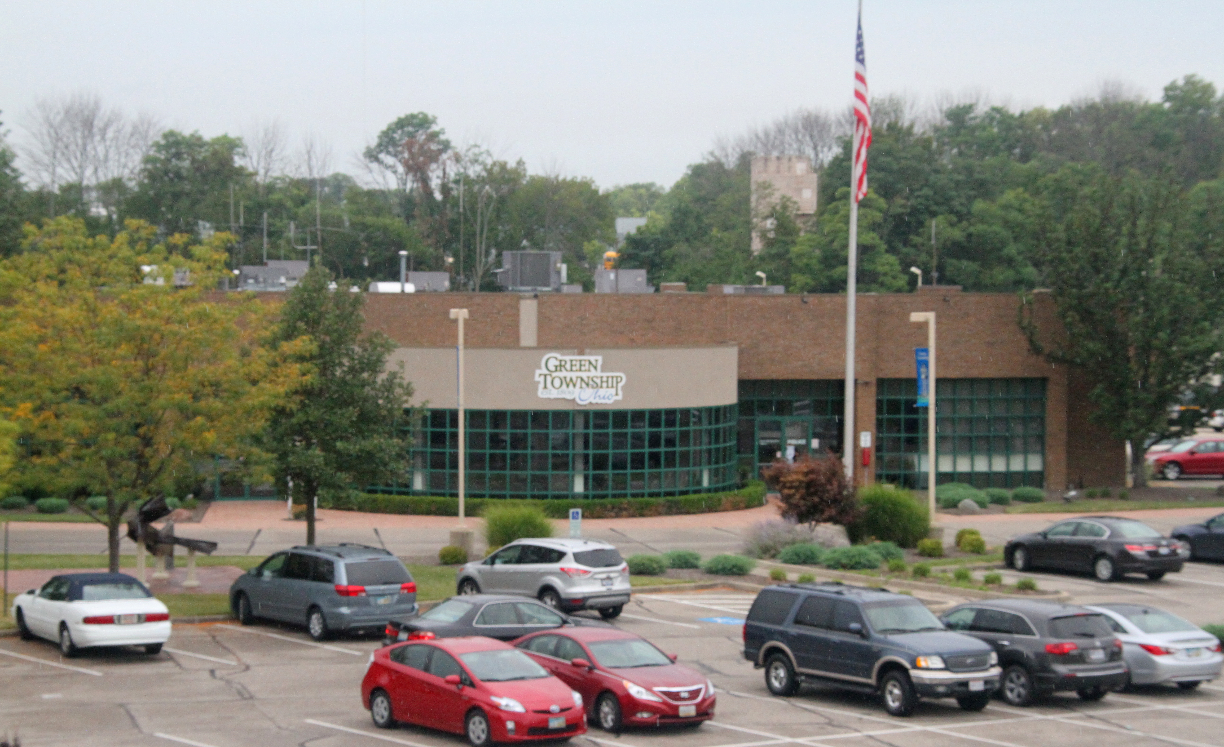 Green Township Administrative Offices in Dent, Ohio | |
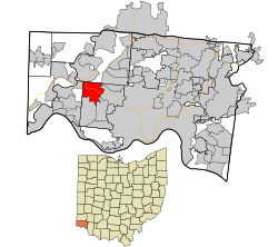 Location in Hamilton County and the state of Ohio. | |
| Coordinates: 39°11′55″N 84°39′35″W | |
| Country | United States |
| State | Ohio |
| County | Hamilton |
| Area | |
| • Total | 6.25 sq mi (16.20 km2) |
| • Land | 6.25 sq mi (16.20 km2) |
| • Water | 0.00 sq mi (0.00 km2) |
| Elevation | 843 ft (257 m) |
| Population (2020) | |
| • Total | 12,301 |
| • Density | 1,966.90/sq mi (759.45/km2) |
| Time zone | UTC-5 (Eastern (EST)) |
| • Summer (DST) | UTC-4 (EDT) |
| ZIP codes | 45247-45248 |
| Area code | 513 |
| FIPS code | 39-21742[3] |
| GNIS feature ID | 1064530[2] |
History
Dent was originally known as Challensville in the 19th century, named for the local minister Rev. James Challenge.[5] A post office called Challensville was established in 1843, the name was changed to Dent in 1846 at the urging of local resident and then-state representative Charles Reemelin. Reemelin was said to have disliked naming places after people and instead thought that "Dent" represented the geography of the area, with the depression of the land just east of Harrison Pike. The Dent post office closed in 1904.[6] The present name "Dent" is after its setting in a valley (or dent).[7]
Veterans Park was constructed in the 1990s on the former site of the Dent Drive-In. The 25-acre (10 ha) park contains a walking trail.[8]
Geography
Dent is located at 39°11′55″N 84°39′35″W.[9]
According to the United States Census Bureau, the CDP has a total area of 5.9 square miles (15.4 km2), all land.
Demographics
| Historical population | |||
|---|---|---|---|
| Census | Pop. | %± | |
| 2020 | 12,301 | — | |
| U.S. Decennial Census[10] | |||
As of the census[3] of 2000, there were 7,612 people, 3,190 households, and 2,130 families residing in the CDP. The population density was 1,267.4 people per square mile (489.0/km2). There were 3,369 housing units at an average density of 560.9/sq mi (216.4/km2). The racial makeup of the CDP was 98.03% White, 0.68% African American, 0.22% Native American, 0.32% Asian, 0.03% Pacific Islander, 0.16% from other races, and 0.56% from two or more races. Hispanic or Latino of any race were 0.42% of the population.
There were 3,190 households, out of which 28.0% had children under the age of 18 living with them, 54.8% were married couples living together, 8.1% had a female householder with no husband present, and 33.2% were non-families. 28.1% of all households were made up of individuals, and 10.3% had someone living alone who was 65 years of age or older. The average household size was 2.39 and the average family size was 2.95.
In the CDP, the population was spread out, with 22.7% under the age of 18, 9.0% from 18 to 24, 27.6% from 25 to 44, 25.2% from 45 to 64, and 15.5% who were 65 years of age or older. The median age was 39 years. For every 100 females, there were 94.1 males. For every 100 females age 18 and over, there were 91.2 males.
The median income for a household in the CDP was $49,048, and the median income for a family was $59,888. Males had a median income of $41,406 versus $31,460 for females. The per capita income for the CDP was $24,403. About 1.6% of families and 3.7% of the population were below the poverty line, including 5.2% of those under age 18 and 2.5% of those age 65 or over.
References
- "ArcGIS REST Services Directory". United States Census Bureau. Retrieved September 20, 2022.
- "US Board on Geographic Names". United States Geological Survey. 2007-10-25. Retrieved 2008-01-31.
- "U.S. Census website". United States Census Bureau. Retrieved 2008-01-31.
- "Geographic Identifiers: 2010 Demographic Profile Data (G001): Dent CDP, Ohio". U.S. Census Bureau, American Factfinder. Archived from the original on February 12, 2020. Retrieved November 13, 2012.
- Nelson, S. B. (1894). History of Cincinnati and Hamilton County, Ohio: Their Past and Present, Including...biographies and Portraits of Pioneers and Representative Citizens, etc., Volume 1. p. 407. Retrieved 11 December 2013.
- "Post Offices". Jim Forte Postal History. Archived from the original on 13 October 2015. Retrieved 19 September 2016.
- Lueders, Jeff (9 October 2006). Hamilton County's Green Township. Arcadia Publishing. p. 145. ISBN 978-1-4396-1701-4.
- Burwinkel, Beth (Jan 1, 2005). A Bark in the Park: The 44 Best Places to Hike with Your Dog in the Cincinnati Region. Cruden Bay Books. p. 125. ISBN 9780974408361. Retrieved 1 September 2013.
- "US Gazetteer files: 2010, 2000, and 1990". United States Census Bureau. 2011-02-12. Retrieved 2011-04-23.
- "Census of Population and Housing". Census.gov. Retrieved June 4, 2016.
Municipalities and communities of Hamilton County, Ohio, United States | ||
|---|---|---|
County seat: Cincinnati | ||
| Cities |  | |
| Villages | ||
| Townships | ||
| CDPs |
| |
| Other communities |
| |
| Footnotes | ‡This populated place also has portions in an adjacent county or counties | |
| ||
Другой контент может иметь иную лицензию. Перед использованием материалов сайта WikiSort.org внимательно изучите правила лицензирования конкретных элементов наполнения сайта.
WikiSort.org - проект по пересортировке и дополнению контента Википедии