world.wikisort.org - United_Kingdom
Yelverton is a village and civil parish in the English county of Norfolk, situated some 5 miles (8.0 km) south east of Norwich and closely associated with Alpington.
| Yelverton | |
|---|---|
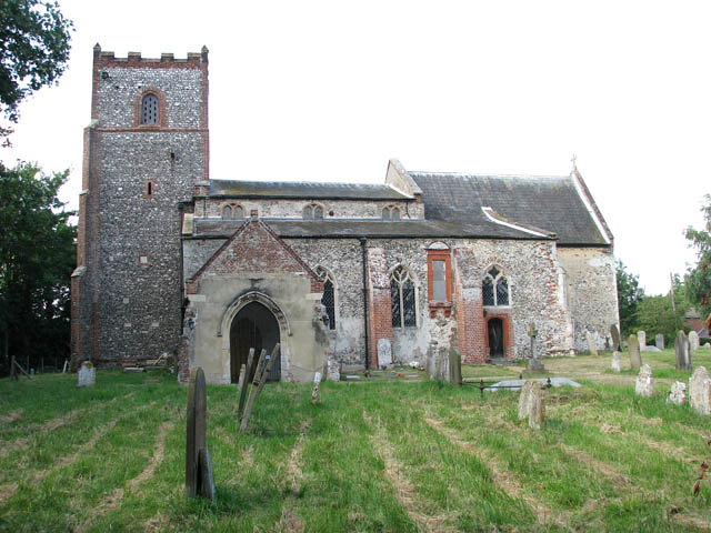 St Mary's church, Yelverton | |
 Yelverton Location within Norfolk | |
| Area | 2.21 km2 (0.85 sq mi) |
| Population | 173 (2011 census) |
| • Density | 78/km2 (200/sq mi) |
| OS grid reference | TG293020 |
| Civil parish |
|
| District |
|
| Shire county |
|
| Region |
|
| Country | England |
| Sovereign state | United Kingdom |
| Post town | NORWICH |
| Postcode district | NR14 |
| Police | Norfolk |
| Fire | Norfolk |
| Ambulance | East of England |
The villages name probably means 'Geldfrith's farm/settlement'.[1]
The civil parish has an area of 2.21 km2 (0.85 sq mi) and had a population of 186 in 62 households in the 2001 census, the population falling to 173 at the 2011 Census.[2] For the purposes of local government, the parish falls within the district of South Norfolk.
The village itself is just south of the A146 (on which lies Yelverton Garage) and is contiguous with Alpington to the south with which it shares its facilities, which include a duckpond, village hall and St. Mary's church.
References
- "Key to English Place-names".
- "Civil Parish population 2011". Retrieved 9 September 2015.
Notes
- ^ Ordnance Survey (2005). OS Explorer Map OL40 - The Broads. ISBN 0-319-23769-9.
- ^ Office for National Statistics & Norfolk County Council (2001). Census population and household counts for unparished urban areas and all parishes. Retrieved 2 December 2005.
External links
- Community website for Alpington and Yelverton
- St. Mary's Church
 Media related to Yelverton, Norfolk at Wikimedia Commons
- Yelverton on GENUKI
- Map sources for Yelverton, Norfolk.
Authority control | |
|---|---|
| General |
|
| Other |
|
This Norfolk location article is a stub. You can help Wikipedia by expanding it. |
Другой контент может иметь иную лицензию. Перед использованием материалов сайта WikiSort.org внимательно изучите правила лицензирования конкретных элементов наполнения сайта.
WikiSort.org - проект по пересортировке и дополнению контента Википедии