world.wikisort.org - United_Kingdom
Wheatacre is a civil parish in the English county of Norfolk. It covers an area of 4.38 km2 (1.69 sq mi) and had a population of 112 in 43 households at the 2001 census,[1] increasing to 118 at the 2011 Census.[2] For the purposes of local government, it falls within the district of South Norfolk
| Wheatacre | |
|---|---|
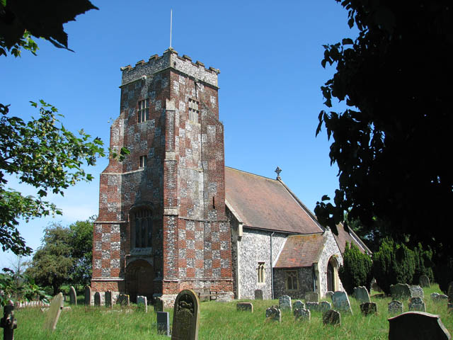 All Saints Church, Wheatacre | |
 Wheatacre Location within Norfolk | |
| Area | 4.38 km2 (1.69 sq mi) |
| Population | 118 (2011) |
| • Density | 27/km2 (70/sq mi) |
| OS grid reference | TM461938 |
| Civil parish |
|
| District |
|
| Shire county |
|
| Region |
|
| Country | England |
| Sovereign state | United Kingdom |
| Post town | BECCLES |
| Postcode district | NR34 |
| Police | Norfolk |
| Fire | Norfolk |
| Ambulance | East of England |
The villages name means 'Wheat land'.[3]
See also
- Clavering hundred
Notes
- "Wheatacre parish information". South Norfolk Council. 16 May 2007. Retrieved 20 June 2009.
- "Parish population 2011". Retrieved 10 September 2015.
- "Key to English Place-names".
External links
![]() Media related to Wheatacre at Wikimedia Commons
Media related to Wheatacre at Wikimedia Commons
This Norfolk location article is a stub. You can help Wikipedia by expanding it. |
Текст в блоке "Читать" взят с сайта "Википедия" и доступен по лицензии Creative Commons Attribution-ShareAlike; в отдельных случаях могут действовать дополнительные условия.
Другой контент может иметь иную лицензию. Перед использованием материалов сайта WikiSort.org внимательно изучите правила лицензирования конкретных элементов наполнения сайта.
Другой контент может иметь иную лицензию. Перед использованием материалов сайта WikiSort.org внимательно изучите правила лицензирования конкретных элементов наполнения сайта.
2019-2026
WikiSort.org - проект по пересортировке и дополнению контента Википедии
WikiSort.org - проект по пересортировке и дополнению контента Википедии