world.wikisort.org - United_Kingdom
Threapwood is a small village and civil parish in the unitary authority of Cheshire West and Chester and the ceremonial county of Cheshire, England. It is close to the villages of Shocklach, Worthenbury and Malpas.
| Threapwood | |
|---|---|
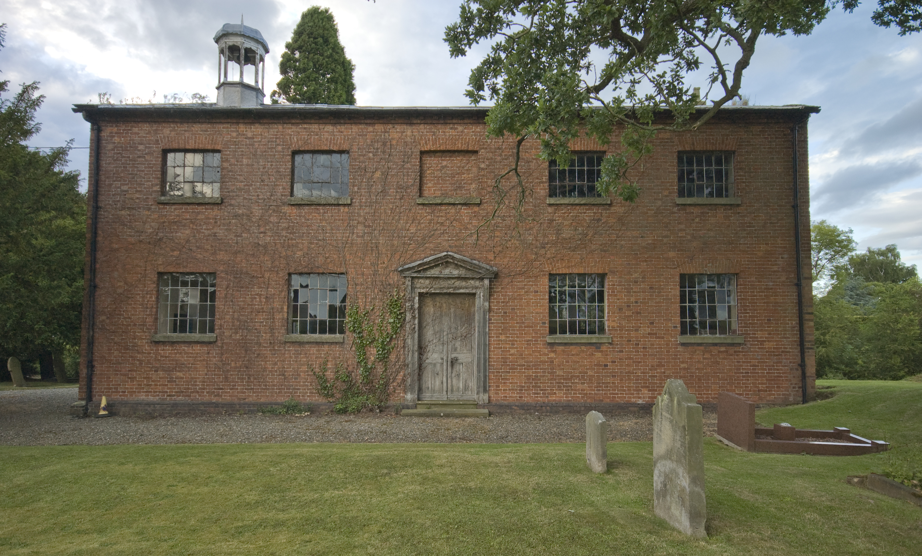
 Derelict brick tower mill at Threapwood | |
 Threapwood Location within Cheshire | |
| Population | 153 (2011) |
| OS grid reference | SJ440451 |
| Civil parish |
|
| Unitary authority |
|
| Ceremonial county |
|
| Region |
|
| Country | England |
| Sovereign state | United Kingdom |
| Post town | MALPAS |
| Postcode district | SY14 |
| Dialling code | 01948 |
| Police | Cheshire |
| Fire | Cheshire |
| Ambulance | North West |
| UK Parliament |
|
Etymology, history
Threapwood developed on an area of common land, historically a tract of woodland lying between Cheshire and Flintshire, which was traditionally reputed to have fallen outside of county, parish and township boundaries: it was therefore outside the jurisdiction of any Justice of the Peace and paid no land tax or parish rates. This status was reflected in its name, with threap being a common Old English place name element referring to disputed boundary areas.[1]
This vague administrative status was to lead to Threapwood gaining a reputation as a home to "abandoned characters of every description, and especially of women of loose or blemished morals".[2] It was also a refuge for military deserters.[3] Various attempts were made to bring Threapwood within the normal administrative structure; by the Militia Acts of 1792 it was decreed to be in Worthenbury - though for the purposes of the militia only - and the Mutiny Act 1797 placed it in the parish of Malpas.[4]
Until Victorian times the village continued to be regarded as partly in Cheshire, and partly in Flintshire. But in 1896, under the "County of Chester (Threapwood) Order", the county boundary (and therefore the boundary between England and Wales), which passed through the village, was adjusted slightly in favour of Cheshire.
Buildings
Churches
- St John (C of E). Founded 1817 as a chapel to Malpas (formerly extra-parochial), becoming the parish church for Threapwood in 1968.
- United Reformed Church (Independent/Congregational). Built 1850.
Other
- War Memorial
- A derelict brick tower windmill to the southeast of the village[5] still contains much of the internal mechanism, though in a ruinous state of repair.
See also
- Listed buildings in Threapwood
Sources
- Winchester, W. Discovering Parish Boundaries, Shire, 2000, p.42
- GENUKI : Flintshire, Threapwood, St. John
- See Pickering, D. Statutes at Large from the 26th to the 30th year of King George III, Cambridge: Charles Bathurst, 1766, p.329
- Cathrall, W. The History of North Wales: Comprising a Topographical Description of the Several Counties of Anglesey, Caernarvon, Denbigh, Flint, Merioneth, and Montgomery, v2, 1828, p.233
- Pevsner, Nikolaus and Hubbard, Edward (1971). The Buildings of England: Cheshire. Penguin Books. ISBN 0-300-09588-0
External links
![]() Media related to Threapwood at Wikimedia Commons
Media related to Threapwood at Wikimedia Commons
| Unitary authorities |
|
|---|---|
| Major settlements | |
| Rivers | |
| Topics |
|
Другой контент может иметь иную лицензию. Перед использованием материалов сайта WikiSort.org внимательно изучите правила лицензирования конкретных элементов наполнения сайта.
WikiSort.org - проект по пересортировке и дополнению контента Википедии