world.wikisort.org - United_Kingdom
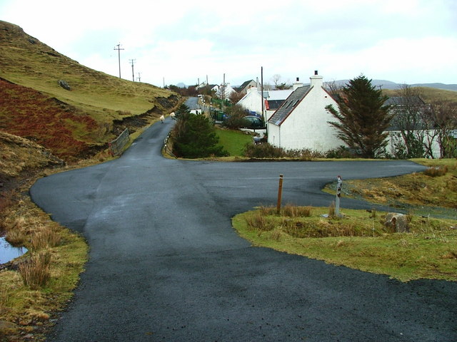
Peinchorran (Scottish Gaelic: Peighinn a' Chorrain) is a remote settlement, lying at the end of the B883 road, on the north east headland of Loch Sligachan on the island of Skye in the Highlands of Scotland.[1] It is in the council area of Highland.
Peinchorran
| |
|---|---|
 | |
 Peinchorran Location within the Isle of Skye | |
| OS grid reference | NG524331 |
| Council area |
|
| Country | Scotland |
| Sovereign state | United Kingdom |
| Post town | Portree |
| Postcode district | IV40 8 |
| Police | Scotland |
| Fire | Scottish |
| Ambulance | Scottish |
Peinchorran is opposite the pier at Sconser on the far side of the loch, the latter being the nearest settlement of any size as the crow flies, although Camastianavaig to the north is closer by road.
References
- Microsoft; Nokia (1 April 2017). "Peinchorran" (Map). Bing Maps. Microsoft. Retrieved 1 April 2017.
Wikimedia Commons has media related to Peinachorrain.
This Highland location article is a stub. You can help Wikipedia by expanding it. |
Текст в блоке "Читать" взят с сайта "Википедия" и доступен по лицензии Creative Commons Attribution-ShareAlike; в отдельных случаях могут действовать дополнительные условия.
Другой контент может иметь иную лицензию. Перед использованием материалов сайта WikiSort.org внимательно изучите правила лицензирования конкретных элементов наполнения сайта.
Другой контент может иметь иную лицензию. Перед использованием материалов сайта WikiSort.org внимательно изучите правила лицензирования конкретных элементов наполнения сайта.
2019-2025
WikiSort.org - проект по пересортировке и дополнению контента Википедии
WikiSort.org - проект по пересортировке и дополнению контента Википедии