world.wikisort.org - United_Kingdom
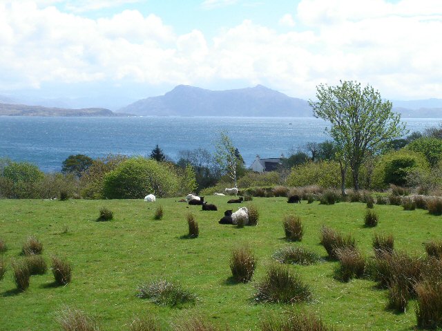
Ferindonald or Ferrindonald (Scottish Gaelic: Fearann Dòmhnaill) is a crofting township, located on the east coast of the Sleat peninsula, lying on the A851 road, in the Isle of Skye, Scottish Highlands and is in the Scottish council area of Highland.[1]
Ferindonald
| |
|---|---|
 Ferindonald | |
 Ferindonald Location within the Isle of Skye | |
| OS grid reference | NG656073 |
| Council area |
|
| Country | Scotland |
| Sovereign state | United Kingdom |
| Post town | Teangue |
| Postcode district | IV44 8 |
| Police | Scotland |
| Fire | Scottish |
| Ambulance | Scottish |
Ferindonald is located 1⁄4 mile (400 metres) southwest of Saasaig and 1+1⁄2 miles (2.5 kilometres) of Teangue.
References
- "Ferindonald". The Gazetteer for Scotland. School of GeoSciences, University of Edinburgh and The Royal Scottish Geographical Society. Retrieved 19 June 2018.
| Wikimedia Commons has media related to Ferrindonald. |
This Highland location article is a stub. You can help Wikipedia by expanding it. |
Текст в блоке "Читать" взят с сайта "Википедия" и доступен по лицензии Creative Commons Attribution-ShareAlike; в отдельных случаях могут действовать дополнительные условия.
Другой контент может иметь иную лицензию. Перед использованием материалов сайта WikiSort.org внимательно изучите правила лицензирования конкретных элементов наполнения сайта.
Другой контент может иметь иную лицензию. Перед использованием материалов сайта WikiSort.org внимательно изучите правила лицензирования конкретных элементов наполнения сайта.
2019-2025
WikiSort.org - проект по пересортировке и дополнению контента Википедии
WikiSort.org - проект по пересортировке и дополнению контента Википедии