world.wikisort.org - United_Kingdom
Middleton is a district of Milton Keynes, Buckinghamshire, England, and part of the historic civil parish of Milton Keynes (which predates the foundation of the "new city" in 1967). The district is centred on Milton Keynes Village, the village that gave its name to modern Milton Keynes, which surrounds it extensively. The village also gives its name to the local civil parish, of which Middleton is the more populated district. It is delineated by Childs Way to the north, Tongwell Street to the east, Chaffron Way to the south and Brickhill Street to the west. The River Ouzel runs diagonally through it, from west to north.
| Middleton | |
|---|---|
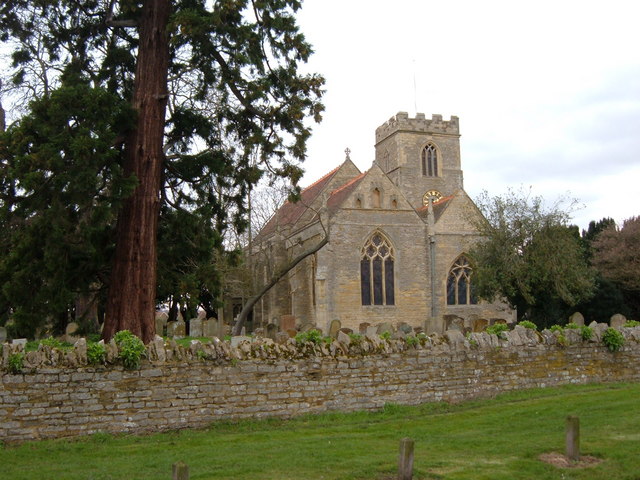 All Saints' Church | |
 Middleton Mapping © OpenStreetMap  Middleton Location within Buckinghamshire | |
| Population | 5,624 (2011 Census, civil parish)[1] |
| OS grid reference | SP888390 |
| Civil parish |
|
| Unitary authority |
|
| Ceremonial county | |
| Region | |
| Country | England |
| Sovereign state | United Kingdom |
| Post town | MILTON KEYNES |
| Postcode district | MK10 |
| Dialling code | 01908 |
| Police | Thames Valley |
| Fire | Buckinghamshire |
| Ambulance | South Central |
| UK Parliament |
|
History
![Name Middelton Keynes, from Plea Rolls of the Court of Common Pleas, 1461[2]](http://upload.wikimedia.org/wikipedia/commons/0/0d/%22Middelton_Keynes%22_from_Plea_Rolls_of_the_Court_of_Common_Pleas%3B_1461.jpg)
The village was originally known as Middeltone (11th century); then later as Middelton Kaynes or Caynes (13th century); Milton Keynes (15th century); and Milton alias Middelton Gaynes (17th century).[3] After the Norman invasion, the de Cahaines family held the manor from 1166 to the late 13th century as well as others in the country (Ashton Keynes in Wiltshire, Somerford Keynes in Gloucestershire, and Horsted Keynes in West Sussex). During this time the village became known as Middleton Keynes [2] eventually shortening to 'Milton Keynes'.[4] However, the names "Mydilton Keynes" and "Milton Keynes" appear on the same membrane of the Plea Roll, CP40/764, dated 1452.[5]
The original core village of the district, along Walton Road and Broughton Road, has retained its "Milton Keynes" road signs and has several rural village houses and a thatched pub which dates back to the 13th century. It is now known as "Milton Keynes Village".
Education
The district has two schools, Middleton Primary School and Oakgrove School, a secondary comprehensive. Both were built in the early 2000s, in the southwest of the district.
Civil parish
Early in the development of Milton Keynes (the 'city'), the district (in which the original village lies and after which it was named) was given the name Middleton again. However, the civil parish is still formally called Milton Keynes, and has a joint parish council with Broughton, Broughton and Milton Keynes Parish Council.[6] (The civil parish for the 'new city' centre is called "Central Milton Keynes"). Milton Keynes civil parish consists of Middleton district and the neighbouring grid-squares of Oakgrove, Fox Milne and Pineham.[1]
References
- UK Census (2011). "Local Area Report – Milton Keynes (E04001263)". Nomis. Office for National Statistics. Retrieved 19 November 2019.
- "Plea Rolls of the Court of Common Pleas; 1461 (CP40/800)". Anglo-American Legal Tradition. University of Houston. 1461. Archived from the original on 31 January 2022. Retrieved 31 January 2022. See last paragraph, at the start of line 5, "Middelton Keynes"
- "Parishes : Milton Keynes". A History of the County of Buckingham. Victoria History of the Counties of England. Vol. 4. Constable & Co. Ltd. 1927. pp. 401–405.
- Woodfield, Paul (1986). A guide to the historic buildings of Milton Keynes. Milton Keynes: Milton Keynes Development Corporation. ISBN 978-0903379052.
- first entry: Richard Kent; http://aalt.law.uh.edu/AALT3/H6/CP40no764/aCP40no764fronts/IMG_0938.htm ; and last entry on http://aalt.law.uh.edu/AALT3/H6/CP40no764/aCP40no764fronts/IMG_0939.htm
- Parishes in Milton Keynes Archived 2009-06-08 at the Wayback Machine - Milton Keynes Council.
External links
This Buckinghamshire location article is a stub. You can help Wikipedia by expanding it. |
Другой контент может иметь иную лицензию. Перед использованием материалов сайта WikiSort.org внимательно изучите правила лицензирования конкретных элементов наполнения сайта.
WikiSort.org - проект по пересортировке и дополнению контента Википедии