world.wikisort.org - United_Kingdom
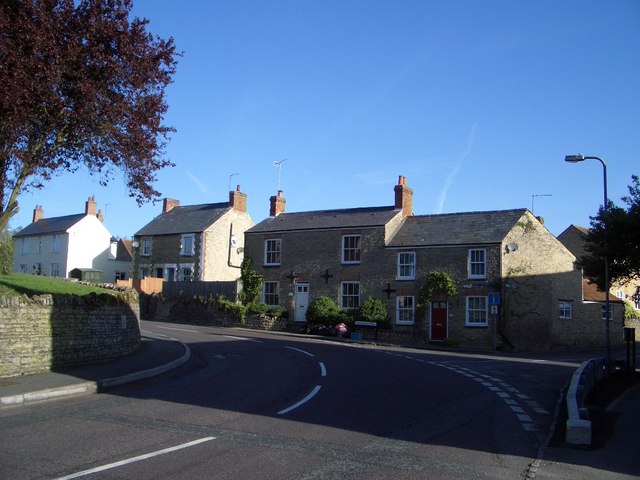
Lavendon is a village and civil parish in the unitary authority area of the City of Milton Keynes, Buckinghamshire, England.[2] It is the northernmost village in the Milton Keynes UA and South East England,[lower-alpha 1]near Olney, about 8 miles (13 km) WNW of Bedford and the same distance NNE of Newport Pagnell.
| Lavendon | |
|---|---|
 | |
 Lavendon Location within Buckinghamshire | |
| Population | 1,303 (2011 Census including Warrington)[1] |
| OS grid reference | SP915535 |
| Civil parish |
|
| Unitary authority |
|
| Ceremonial county | |
| Region | |
| Country | England |
| Sovereign state | United Kingdom |
| Post town | OLNEY |
| Postcode district | MK46 |
| Dialling code | 01234 |
| Police | Thames Valley |
| Fire | Buckinghamshire |
| Ambulance | South Central |
| UK Parliament |
|
Nearby places are Warrington, and Cold Brayfield in the Milton Keynes UA, and Harrold and Carlton over the border in Bedfordshire.
History
The village name is derived from a personal name and a place-name element from the Old English language (Lafan + denu), and means 'Lafa's valley'. In the Domesday Book of 1086 the village was recorded as Lavendene and Lawendene.[3]
At Castle Farm are the earthworks of a motte-and-bailey castle created in the twelfth century by de Bidun family as the headquarters of their barony of Lavendon.[4][5] The castle was last recorded in 1232.
The village was once the location of a Premonstratensian abbey, founded between 1155 and 1158 by John de Bidun. The abbey was suppressed in the Dissolution of the Monasteries in 1536.[6] It stood at what is now Grange Farm.
The Earl of Gainsborough was patron of the parish church.[7]
The village is on the route of the 1936 Jarrow March, there is a small plaque on the churchyard wall to commemorate this.
Modern Lavendon
The parish church is dedicated to St Michael, and there is also a Baptist Church that meets at the Union Chapel in the centre of the village.
The village has a combined school for children from reception (4 years) through to year 6 (11 years). It also has a village store and Post Office, an independent garage, village hall and two public houses, the Green Man and The Horseshoe. There is also a pre-school and a nursery.
The company Tusting has a small factory on Olney Road producing a wide range of luxury leather goods which are exported worldwide.
Note and references
- Nearby Warrington is more northerly but is formally a hamlet.
- UK Census (2011). "Local Area Report – Lavendon (E04012187)". Nomis. Office for National Statistics. Retrieved 18 November 2019.
- Parishes in Milton Keynes Archived 2009-06-08 at the Wayback Machine - Milton Keynes Council.
- Watts, V. (2004). The Cambridge Dictionary of Place-Names. Cambridge University Press. p. 363.
- Sanders, I. J. (1960). English Baronies: A Study of Their Origin and Descent, 1086-1327. Oxford: Clarendon. p. 128.
- Stenton, F. (1961). The First Century of English Feudalism, 1066-1166 (2nd ed.). Oxford: Clarendon Press. p. 205n.
- Knowles, D.; Hadcock, R. N. (1971). Medieval Religious Houses of England and Wales (2nd ed.). London: Longmans. pp. 184, 190.
- Lewis, Samuel, ed. (1848). "Lavendon (St Mary)". A Topographical Dictionary of England. London – via British History Online.
External links
![]() Media related to Lavendon at Wikimedia Commons
Media related to Lavendon at Wikimedia Commons
Authority control | |
|---|---|
| General |
|
| National libraries | |
This Buckinghamshire location article is a stub. You can help Wikipedia by expanding it. |
Другой контент может иметь иную лицензию. Перед использованием материалов сайта WikiSort.org внимательно изучите правила лицензирования конкретных элементов наполнения сайта.
WikiSort.org - проект по пересортировке и дополнению контента Википедии