world.wikisort.org - United_Kingdom
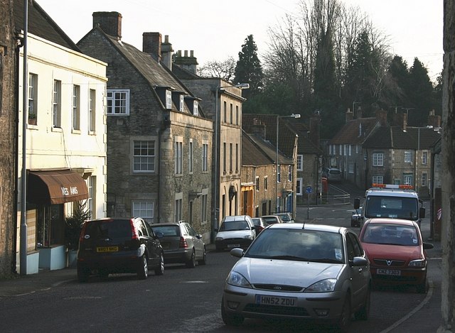
Mendip is a local government district of Somerset in England. The district covers a largely rural area of 285 square miles (738 km2)[3] with a population of approximately 112,500,[3] ranging from the Wiltshire border in the east to part of the Somerset Levels in the west. The district takes its name from the Mendip Hills which lie in its northwest. The administrative centre of the district is Shepton Mallet but the largest town (three times larger than Shepton Mallet) is Frome.
Mendip | |
|---|---|
Non-metropolitan district | |
 | |
 Shown within Somerset | |
| Sovereign state | United Kingdom |
| Constituent country | England |
| Region | South West England |
| Ceremonial county | Somerset |
| Admin HQ | Shepton Mallet |
| Created | 1 April 1974 |
| Government | |
| • Type | Non-metropolitan district |
| • Leader | Ros Wyke[1] |
| • Council | Liberal Democrats |
| • MPs: | James Heappey (Conservative), David Warburton (Cons) |
| Area | |
| • Total | 285.50 sq mi (739.44 km2) |
| Population | |
| • Total | 115,587 (Ranked 205th) |
| Time zone | UTC0 (GMT) |
| • Summer (DST) | UTC+1 (BST) |
| Post Code | |
| Area code(s) | 01749 |
| Website | http://www.mendip.gov.uk/ |
The district was formed on 1 April 1974 under the Local Government Act 1972, by a merger of the municipal boroughs of Glastonbury and Wells, along with Frome, Shepton Mallet, Street urban districts, and Frome Rural District, Shepton Mallet Rural District, Wells Rural District, part of Axbridge Rural District and part of Clutton Rural District.
On 1 April 2023, the district will be abolished and replaced by a new unitary district for the area at present served by Somerset County Council. The new council will be known as Somerset Council.[4]
Toponymy
Several explanations for the name Mendip have been suggested. Its earliest known form is Mendepe in 1185. One suggestion is that it is derived from the medieval term Myne-deepes.[5][6] However, A D Mills derives its meaning from Celtic monith, meaning mountain or hill, with an uncertain second element, perhaps Old English yppe in the sense of upland, or plateau.[7]
An alternative explanation is that the name is cognate with Mened (Welsh mynydd), a Brythonic term for upland moorland. The suffix may be a contraction of the Anglo-Saxon hop, meaning a valley. Possible further meanings have been identified. The first is 'the stone pit' from the Celtic meyn and dyppa in reference to the collapsed cave systems of Cheddar. The second is 'Mighty and Awesome' from the Old English moen and deop.[8]
Governance
The district falls under the jurisdiction of Mendip District Council. As of the 2019 Local elections, the Council went to No Overall Control.
| Party | Seats | Net Gain/Loss |
|---|---|---|
| Liberal Democrat | 22 | +11 |
| Conservative | 10 | -22 |
| Green | 10 | +7 |
| Independent | 5 | +4 |
As of March 2022, the council has 23 Liberal Democrats, 12 Conservatives, 10 Greens, and 2 Independents[9]
Abolition
On 1 April 2023, the council will be abolished and replaced by a new unitary authority for the area at present served by Somerset County Council. The new council will be known as Somerset Council.[4] Elections for the new council will take place in May 2022, and it then will run alongside Mendip and the other councils until their abolition in April 2023.[10]
Settlements
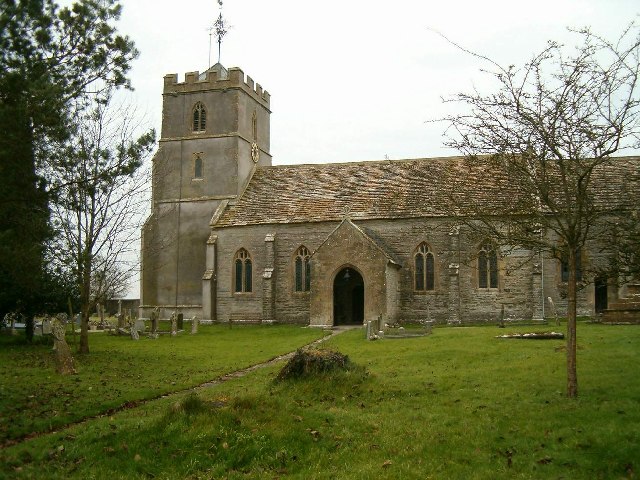
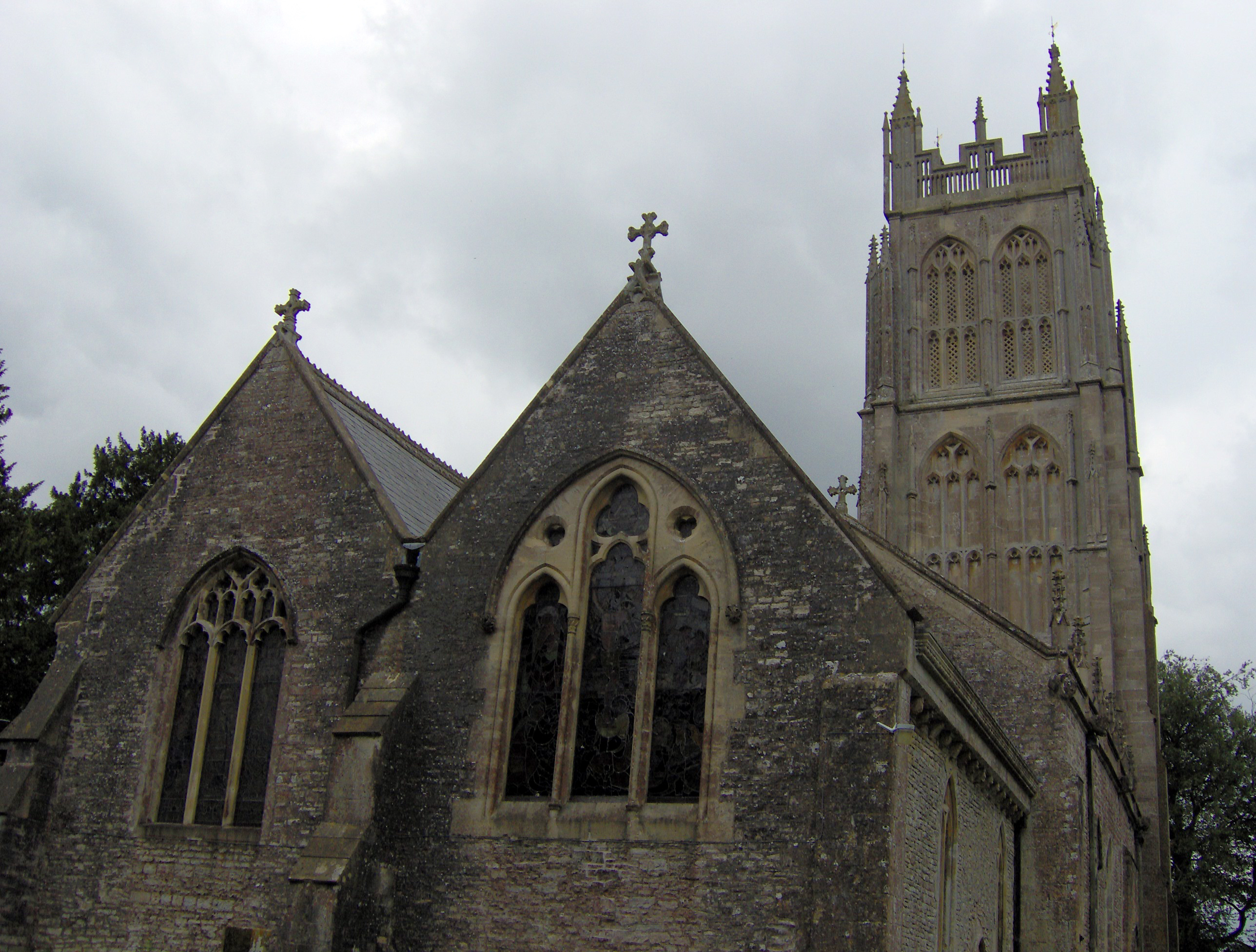
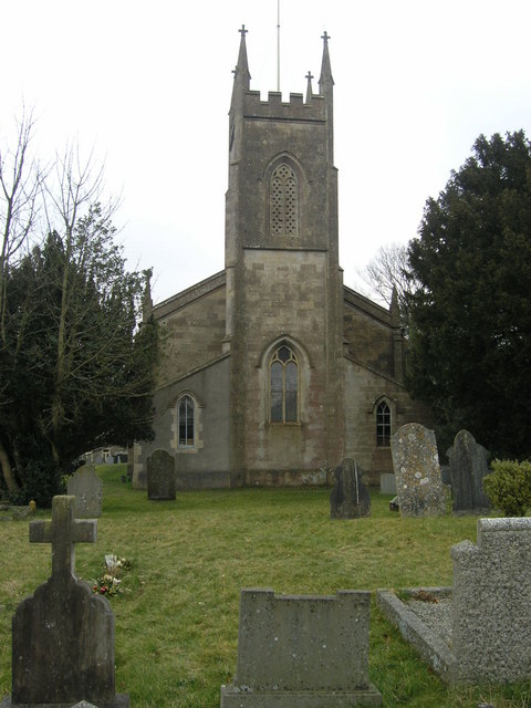
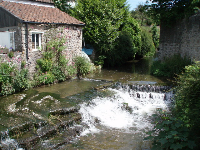
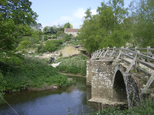
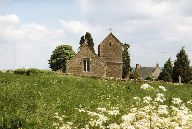
The five main settlements in Mendip are:
Frome, Glastonbury and Shepton Mallet are the only towns in the district, as Wells has city status and Street has maintained its status as a village despite a population in excess of 11,000.[11]
Other villages and hamlets include:
- Ashwick
- Baltonsborough – Batcombe – Beckington – Binegar – Bleadney – Bowlish – Buckland Dinham – Burcott – Butleigh – Butleigh Wootton
- Chantry – Charterhouse – Chelynch – Chesterblake – Chewton Mendip – Chilcompton – Coleford – Coxley – Cranmore – Croscombe
- Dean – Dinder – Ditcheat – Doulting – Draycott – Dulcote
- East Lydford – East Pennard – Easton – Emborough – Evercreech
- Farleigh Hungerford – Faulkland
- Godney – Great Elm – Green Ore
- Henton – Highbury – Holcombe – Hornblotton – Horrington – Huxham Green
- Kilmersdon
- Lamyatt – Leigh-on-Mendip – Leighton – Litton – Lydford-on-Fosse
- Maesbury – Meare – Mells
- Nettlebridge – North Wootton – Norton St Philip – Nunney
- Oakhill – Oldford
- Pilton – Polsham – Prestleigh – Priddy – Pylle
- Rode – Rodney Stoke
- Southway – Standerwick – Ston Easton – Stratton-on-the-Fosse – Stoke St Michael – Stoney Stratton
- Thrupe – Trudoxhill
- Upton Noble
- Vobster
- Walton – Wanstrow – Waterlip – West Compton – West Lydford – West Pennard – West Woodlands – Westbury-sub-Mendip – Westcombe – Westhay – Whatley – Wookey – Wookey Hole – Worminster – Witham Friary
- Yarley
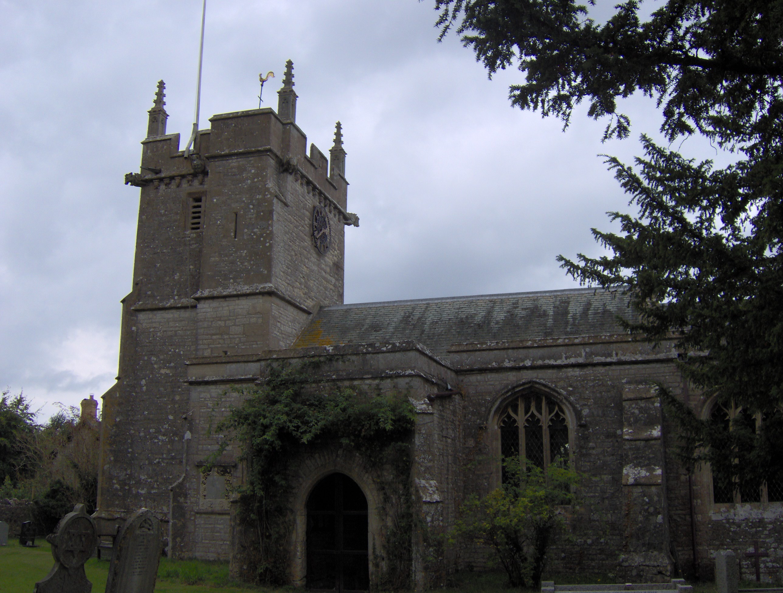
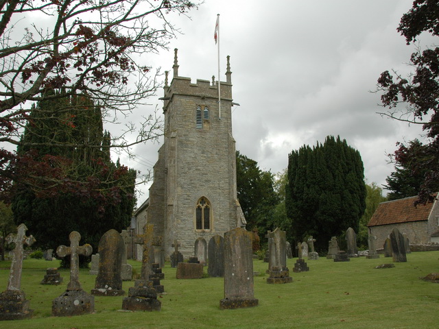
Parishes
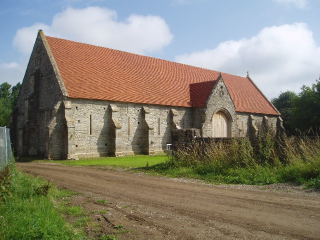
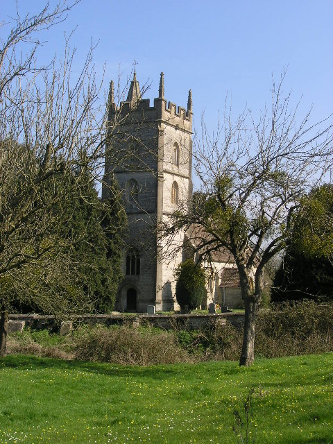
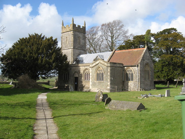
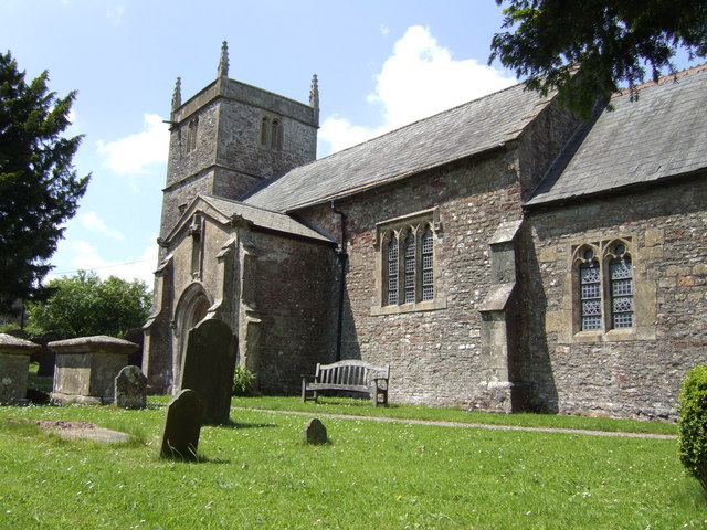
| Image | Name | Status | Population[12] | Former local authority | Coordinates | Refs |
|---|---|---|---|---|---|---|
 | Ashwick | Civil parish | 1,352 | Shepton Mallet Rural District | 51.23°N 2.52°W | [13][14] |
 | Baltonsborough | Civil parish | 864 | Wells Rural District | 51.11°N 2.64°W | [15][16] |
 | Batcombe | Civil parish | 439 | Shepton Mallet Rural District | 51.15°N 2.44°W | [14][17] |
 | Beckington | Civil parish | 983 | Frome Rural District | 51.26°N 2.28°W | [18][19] |
 | Berkley | Civil parish | 344 | Frome Rural District | 51.24°N 2.27°W | [19][20] |
 | Binegar | Civil parish | 313 | Shepton Mallet Rural District | 51.24°N 2.55°W | [14][21] |
 | Buckland Dinham | Civil parish | 381 | Frome Rural District | 51.26°N 2.35°W | [19][22] |
 | Butleigh | Civil parish | 823 | Wells Rural District | 51.09°N 2.68°W | [16][23] |
 | Chewton Mendip | Civil parish | 585 | Wells Rural District | 51.28°N 2.58°W | [16][24] |
 | Chilcompton | Civil parish | 2,062 | Clutton Rural District | 51.27°N 2.50°W | [25][26] |
 | Coleford | Civil parish | 2,313 | Frome Rural District | 51.24°N 2.45°W | [19][27] |
 | Cranmore | Civil parish | 667 | Shepton Mallet Rural District | 51.19°N 2.48°W | [14][28] |
 | Croscombe | Civil parish | 603 | Shepton Mallet Rural District | 51.20°N 2.58°W | [14][29] |
 | Ditcheat | Civil parish | 725 | Shepton Mallet Rural District | 51.13°N 2.54°W | [14][30] |
 | Doulting | Civil parish | 618 | Shepton Mallet Rural District | 51.19°N 2.51°W | [14][31] |
 | East Pennard | Civil parish | 348 | Shepton Mallet Rural District | 51.14°N 2.62°W | [14][32] |
 | Emborough | Civil parish | 148 | Shepton Mallet Rural District | 51.26°N 2.55°W | [14][33] |
 | Evercreech | Civil parish | 2,334 | Shepton Mallet Rural District | 51.14°N 2.51°W | [14][34] |
 | Frome | Town | 26,203 | Frome Rural District Frome Urban District | 51.23°N 2.32°W | [19][35] |
 | Glastonbury | Town | 8,932 | Glastonbury Municipal Borough | 51.15°N 2.71°W | [36][37] |
 | Godney | Civil parish | 237 | Wells Rural District | 51.18°N 2.74°W | [16][38] |
 | Great Elm | Civil parish | 171 | Frome Rural District | 51.24°N 2.36°W | [19][39] |
 | Hemington | Civil parish | 640 | Frome Rural District | 51.28°N 2.39°W | [19][40] |
 | Holcombe | Civil parish | 947 | Shepton Mallet Rural District | 51.24°N 2.46°W | [14][41] |
 | Kilmersdon | Civil parish | 541 | Frome Rural District | 51.27°N 2.44°W | [19][42] |
 | Lamyatt | Civil parish | 183 | Shepton Mallet Rural District | 51.12°N 2.49°W | [14][43] |
 | Leigh-on-Mendip | Civil parish | 514 | Frome Rural District | 51.23°N 2.44°W | [19][44] |
 | Litton | Civil parish | 240 | Clutton Rural District | 51.29°N 2.58°W | [26][45] |
 | Lullington | Civil parish | 162 | Frome Rural District | 51.26°N 2.31°W | [19][46] |
 | Lydford-on-Fosse | Civil parish | 511 | Shepton Mallet Rural District | 51.07°N 2.62°W | [14][47] |
 | Meare | Civil parish | 1,304 | Wells Rural District | 51.17°N 2.77°W | [16][48] |
 | Mells | Civil parish | 638 | Frome Rural District | 51.24°N 2.39°W | [19][49] |
 | North Wootton | Civil parish | 317 | Wells Rural District | 51.17°N 2.62°W | [16][50] |
 | Norton St Philip | Civil Parish | 858 | Frome Rural District | 51.29°N 2.32°W | [19][51] |
 | Nunney | Civil parish | 844 | Frome Rural District | 51.21°N 2.38°W | [19][52] |
 | Pilton | Civil parish | 998 | Shepton Mallet Rural District | 51.17°N 2.59°W | [14][53] |
| Priddy | Civil parish | 624 | Wells Rural District | 51.25°N 2.68°W | [16][54] | |
 | Pylle | Civil parish | 160 | Shepton Mallet Rural District | 51.14°N 2.56°W | [14][55] |
 | Rode | Civil parish | 1,025 | Frome Rural District | 51.28°N 2.2°W | [19][56] |
 | Rodney Stoke | Civil parish | 1,326 | Wells Rural District | 51.25°N 2.74°W | [16][57] |
| – | Selwood | Civil parish | 798 | Frome Rural District | 51.24°N 2.31°W | [19][58] |
 | Sharpham | Civil parish | 130 | Wells Rural District | 51.14°N 2.77°W | [16][59] |
 | Shepton Mallet | Town | 10,369 | Shepton Mallet Urban District | 51.19°N 2.55°W | [60][61] |
 | St Cuthbert Out | Civil parish | 3,749 | Wells Rural District | 51.18°N 2.69°W | [16][62] |
 | Stoke St Michael | Civil parish | 926 | Shepton Mallet Rural District | 51.22°N 2.48°W | [14][63] |
 | Ston Easton | Civil parish | 550 | Clutton Rural District | 51.28°N 2.54°W | [26][64] |
 | Stratton on the Fosse | Civil parish | 1,108 | Shepton Mallet Rural District | 51.25°N 2.49°W | [14][65] |
 | Street | Civil parish | 11,805 | Street Urban District | 51.12°N 2.74°W | [66][67] |
 | Tellisford | Civil parish | 182 | Frome Rural District | 51.29°N 2.28°W | [19][68] |
 | Trudoxhill | Civil parish | 423 | Frome Rural District | 51.19°N 2.37°W | [19][69] |
 | Upton Noble | Civil parish | 128 | Frome Rural District | 51.15°N 2.41°W | [19][70] |
 | Walton | Civil parish | 1,106 | Wells Rural District | 51.14°N 2.77°W | [16][71] |
 | Wanstrow | Civil parish | 489 | Frome Rural District | 51.17°N 2.41°W | [19][72] |
 | Wells | City | 10,536 | Wells Municipal Borough | 51.21°N 2.65°W | [16][73] |
 | West Bradley | Civil parish | 277 | Shepton Mallet Rural District | 51.13°N 2.64°W | [14][74] |
 | West Pennard | Civil parish | 670 | Wells Rural District | 51.14°N 2.65°W | [16][75] |
 | Westbury | Civil parish | 801 | Wells Rural District | 51.24°N 2.71°W | [16][76] |
 | Whatley | Civil parish | 245 | Frome Rural District | 51.23°N 2.38°W | [19][77] |
 | Witham Friary | Civil parish | 399 | Frome Rural District | 51.17°N 2.37°W | [19][78] |
 | Wookey | Civil parish | 1,311 | Wells Rural District | 51.21°N 2.69°W | [16][79] |
Transport
Major roads
- A37 from Bristol to Yeovil
- A361 from the M5 to Frome
- A371 from Weston-super-Mare to Wincanton
- A39 from Bath to Bridgwater
Railways
Railway stations
- Frome railway station served by Great Western Railway on the Heart of Wessex Line and Reading to Taunton Line.
East Somerset Railway
Railway stations
- Cranmore railway station
- Cranmore West railway station
- Merryfield Lane railway station
- Mendip Vale railway station
served by the East Somerset Railway.
Education
County schools (those which are not independent) in the five non-metropolitan districts of the county are operated by Somerset County Council.
For a full list of schools see: List of schools in Somerset
See also
- Grade I listed buildings in Mendip
- Grade II* listed buildings in Mendip
- List of Scheduled Monuments in Mendip
References
- Mumby, Daniel (21 May 2019). "What the first Lib Dem leader in Mendip for 16 years says she will do". SomersetLive. Retrieved 4 June 2019.
- "Population Estimates for UK, England and Wales, Scotland and Northern Ireland, Mid-2019". Office for National Statistics. 6 May 2020. Retrieved 6 May 2020.
- "Somerset Intelligence Network" (PDF). Mendip District Council. Retrieved 19 May 2009.
- "Frequently asked questions". Somerset County Council. Retrieved 1 January 2022.
- "Mendip Hills Natural Area profile" (PDF). English Nature. January 1998. Retrieved 16 July 2006.
- "Autumn newsletter 2007" (PDF). Mendip Hills AONB. Archived from the original (PDF) on 28 November 2007. Retrieved 25 September 2007.
- Dictionary of English Place Names
- Robinson, Stephen (1992). Somerset Place Names. Wimbourne: The Dovecote Press Ltd. ISBN 1-874336-03-2.
- "Councillors – Mendip District Council". Mendip.gov.uk. Retrieved 21 March 2022.
- "Elections for new Somerset Council to be held in May 2022". BBC News. 2 December 2021. Retrieved 1 January 2022.
- "Street Parish Council". Street Parish Council. Retrieved 17 July 2012.
- "Mendip Parish Population Statistics" (PDF). ONS Census 2001. Somerset County Council. Archived from the original (PDF) on 21 November 2009. Retrieved 3 July 2008.
- "Ashwick Parish". Neighbourhood Statistics. Office for National Statistics. Retrieved 1 January 2014.
- "Shepton Mallet RD". A vision of Britain Through Time. University of Portsmouth. Retrieved 4 January 2014.
- "Baltonsborough Parish". Neighbourhood Statistics. Office for National Statistics. Retrieved 1 January 2014.
- "Wells RD". A vision of Britain Through Time. University of Portsmouth. Retrieved 4 January 2014.
- "Batcombe Parish". Neighbourhood Statistics. Office for National Statistics. Retrieved 1 January 2014.
- "Beckington Parish". Neighbourhood Statistics. Office for National Statistics. Retrieved 1 January 2014.
- "Frome RD". A vision of Britain Through Time. University of Portsmouth. Retrieved 4 January 2014.
- "Berkley Parish". Neighbourhood Statistics. Office for National Statistics. Retrieved 1 January 2014.
- "Binegar Parish". Neighbourhood Statistics. Office for National Statistics. Retrieved 1 January 2014.
- "Buckland Dinham Parish". Neighbourhood Statistics. Office for National Statistics. Retrieved 1 January 2014.
- "Butleigh Parish". Neighbourhood Statistics. Office for National Statistics. Retrieved 1 January 2014.
- "Chewton Mendip Parish". Neighbourhood Statistics. Office for National Statistics. Retrieved 1 January 2014.
- "Chilcompton Parish". Neighbourhood Statistics. Office for National Statistics. Retrieved 1 January 2014.
- "Clutton RD". A vision of Britain Through Time. University of Portsmouth. Retrieved 4 January 2014.
- "Coleford Parish". Neighbourhood Statistics. Office for National Statistics. Retrieved 1 January 2014.
- "Cranmore Parish". Neighbourhood Statistics. Office for National Statistics. Retrieved 1 January 2014.
- "Croscombe Parish". Neighbourhood Statistics. Office for National Statistics. Retrieved 1 January 2014.
- "Ditcheat Parish". Neighbourhood Statistics. Office for National Statistics. Retrieved 1 January 2014.
- "Doulting Parish". Neighbourhood Statistics. Office for National Statistics. Retrieved 1 January 2014.
- "East Pennard Parish". Neighbourhood Statistics. Office for National Statistics. Retrieved 1 January 2014.
- "Emborough Parish". Neighbourhood Statistics. Office for National Statistics. Retrieved 1 January 2014.
- "Evercreech Parish". Neighbourhood Statistics. Office for National Statistics. Retrieved 1 January 2014.
- "Frome Parish". Neighbourhood Statistics. Office for National Statistics. Archived from the original on 2 January 2014. Retrieved 1 January 2014.
- "Glastonbury Parish". Neighbourhood Statistics. Office for National Statistics. Retrieved 1 January 2014.
- "Glastonbury MB". A vision of Britain Through Time. University of Portsmouth. Retrieved 4 January 2014.
- "Godney Parish". Neighbourhood Statistics. Office for National Statistics. Retrieved 1 January 2014.
- "Great Elm Parish". Neighbourhood Statistics. Office for National Statistics. Retrieved 1 January 2014.
- "Hemington Parish". Neighbourhood Statistics. Office for National Statistics. Retrieved 1 January 2014.
- "Holcombe Parish". Neighbourhood Statistics. Office for National Statistics. Retrieved 1 January 2014.
- "Kilmersdon Parish". Neighbourhood Statistics. Office for National Statistics. Retrieved 1 January 2014.
- "Lamyat Parish". Neighbourhood Statistics. Office for National Statistics. Retrieved 1 January 2014.
- "Leigh-on-Mendip Parish". Neighbourhood Statistics. Office for National Statistics. Archived from the original on 2 January 2014. Retrieved 1 January 2014.
- "Litton Parish". Neighbourhood Statistics. Office for National Statistics. Archived from the original on 2 January 2014. Retrieved 1 January 2014.
- "Lullington Parish". Neighbourhood Statistics. Office for National Statistics. Retrieved 1 January 2014.
- "Lydford-on-Fosse Parish". Neighbourhood Statistics. Office for National Statistics. Retrieved 1 January 2014.
- "Meare Parish". Neighbourhood Statistics. Office for National Statistics. Retrieved 1 January 2014.
- "Mells Parish". Neighbourhood Statistics. Office for National Statistics. Retrieved 1 January 2014.
- "North Wootton Parish". Neighbourhood Statistics. Office for National Statistics. Retrieved 1 January 2014.
- "Norton St Philip Parish". Neighbourhood Statistics. Office for National Statistics. Retrieved 1 January 2014.
- "Nunney Parish". Neighbourhood Statistics. Office for National Statistics. Retrieved 1 January 2014.
- "Pilton Parish". Neighbourhood Statistics. Office for National Statistics. Retrieved 1 January 2014.
- "Priddy Parish". Neighbourhood Statistics. Office for National Statistics. Retrieved 1 January 2014.
- "Pylle Parish". Neighbourhood Statistics. Office for National Statistics. Retrieved 1 January 2014.
- "Rode Parish". Neighbourhood Statistics. Office for National Statistics. Retrieved 1 January 2014.
- "Rodney Stoke Parish". Neighbourhood Statistics. Office for National Statistics. Retrieved 1 January 2014.
- "Selwood Parish". Neighbourhood Statistics. Office for National Statistics. Retrieved 1 January 2014.
- "Sharpham Parish". Neighbourhood Statistics. Office for National Statistics. Retrieved 1 January 2014.
- "Shepton Mallet Parish". Neighbourhood Statistics. Office for National Statistics. Retrieved 1 January 2014.
- "Shepton Mallet UD". A vision of Britain Through Time. University of Portsmouth. Retrieved 4 January 2014.
- "St Cuthbert Out Parish". Neighbourhood Statistics. Office for National Statistics. Retrieved 1 January 2014.
- "Stoke St Michael Parish". Neighbourhood Statistics. Office for National Statistics. Retrieved 1 January 2014.
- "Ston Easton Parish". Neighbourhood Statistics. Office for National Statistics. Retrieved 1 January 2014.
- "Stratton on the Fosse Parish". Neighbourhood Statistics. Office for National Statistics. Retrieved 1 January 2014.
- "Street Parish". Neighbourhood Statistics. Office for National Statistics. Retrieved 1 January 2014.
- "Street UD". A vision of Britain Through Time. University of Portsmouth. Retrieved 4 January 2014.
- "Tellisford Parish". Neighbourhood Statistics. Office for National Statistics. Retrieved 1 January 2014.
- "Trudoxhill Parish". Neighbourhood Statistics. Office for National Statistics. Retrieved 1 January 2014.
- "Upton Noble Parish". Neighbourhood Statistics. Office for National Statistics. Retrieved 1 January 2014.
- "Walton Parish". Neighbourhood Statistics. Office for National Statistics. Retrieved 1 January 2014.
- "Wanstrow Parish". Neighbourhood Statistics. Office for National Statistics. Retrieved 1 January 2014.
- "Wells Parish". Neighbourhood Statistics. Office for National Statistics. Retrieved 1 January 2014.
- "West Bradley Parish". Neighbourhood Statistics. Office for National Statistics. Retrieved 1 January 2014.
- "West Pennard Parish". Neighbourhood Statistics. Office for National Statistics. Retrieved 1 January 2014.
- "Westbury Parish". Neighbourhood Statistics. Office for National Statistics. Retrieved 1 January 2014.
- "Whatley Parish". Neighbourhood Statistics. Office for National Statistics. Retrieved 1 January 2014.
- "Witham Friary Parish". Neighbourhood Statistics. Office for National Statistics. Retrieved 1 January 2014.
- "Wookey Parish". Neighbourhood Statistics. Office for National Statistics. Retrieved 1 January 2014.
External links
- Mendip District Council
- Mendip at Curlie
| Wikimedia Commons has media related to Mendip. |

Somerset Portal | |
| Unitary authorities |
|
| Boroughs or districts |
|
| Major settlements |
|
| Rivers |
|
| Topics |
|
На других языках
[de] Mendip
Mendip ist ein District in der Grafschaft Somerset in England, der nach den Mendip Hills benannt ist. Verwaltungssitz ist Shepton Mallet; weitere bedeutende Orte sind Evercreech, Frome, Glastonbury, Street und Wells.- [en] Mendip District
[ru] Мендип
Мендип (англ. Mendip) — неметрополитенский район (англ. non-metropolitan district) в графстве Сомерсет (Англия). Административный центр — город Шептон-Маллет.Другой контент может иметь иную лицензию. Перед использованием материалов сайта WikiSort.org внимательно изучите правила лицензирования конкретных элементов наполнения сайта.
WikiSort.org - проект по пересортировке и дополнению контента Википедии