world.wikisort.org - United_Kingdom
Sedgemoor is a low-lying area of land in Somerset, England. It lies close to sea level south of the Polden Hills, historically largely marsh (or "moor" in its older sense).[2] The eastern part is known as King's Sedgemoor, and the western part West Sedgemoor. Sedgemoor is part of the area now known as the Somerset Levels and Moors. Historically the area was known as the site of the Battle of Sedgemoor.
Sedgemoor
Sedgemoor District | |
|---|---|
Non-metropolitan district | |
 | |
 Shown within Somerset | |
| Sovereign state | United Kingdom |
| Constituent country | England |
| Region | South West England |
| Ceremonial county | Somerset |
| Admin HQ | Bridgwater |
| Created | 1 April 1974 |
| Government | |
| • Type | Non-metropolitan district |
| • Leader | Duncan McGinty |
| • Council | Conservative |
| • MPs: | Ian Liddell-Grainger C, James Heappey C |
| Area | |
| • Total | 217.90 sq mi (564.36 km2) |
| Population | |
| • Total | 123,178 (Ranked 187th) |
| Time zone | UTC0 (GMT) |
| • Summer (DST) | UTC+1 (BST) |
| Post Code | TA5-9 |
| Area code | 01278 |
| Website | www |
Sedgemoor has given its name to a local government district formed on 1 April 1974, under the Local Government Act 1972, by a merger of the municipal borough of Bridgwater, the Burnham-on-Sea urban district, Bridgwater Rural District and part of Axbridge Rural District. The district covers a larger area than the historical Sedgemoor, extending north of the Polden Hills across the Somerset Levels and Moors to the Mendip Hills.
On 1 April 2023 the district will be abolished and replaced by a new unitary district for the area at present served by Somerset County Council. The new council will be known as Somerset Council.[3] Elections for the new council took place in May 2022, and it now will run alongside Sedgemoor and the other councils until their abolition in April 2023.[4]
Toponymy
Sedgemoor does not mean "sedge moor", but is instead "marsh of a man called Sicga" from the Old Norse personal name Sicga and Old English mor "moor".[5] The name was recorded as Secgamere in 1165.
Towns
- Bridgwater – the administrative centre
- Burnham-on-Sea
- North Petherton
- Highbridge
- Axbridge
- Cheddar
Parishes
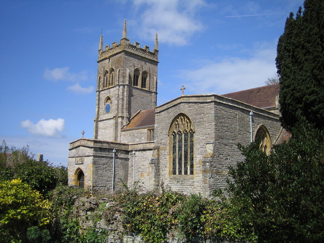
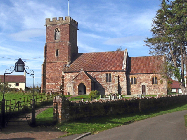
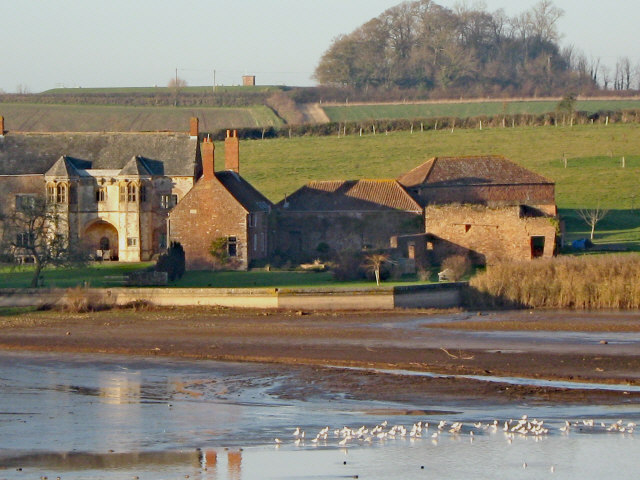
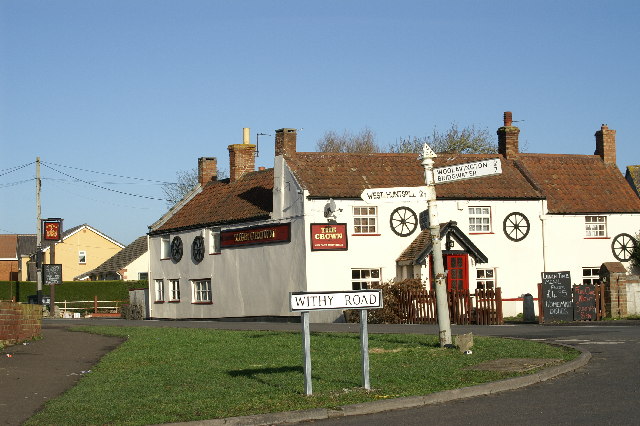
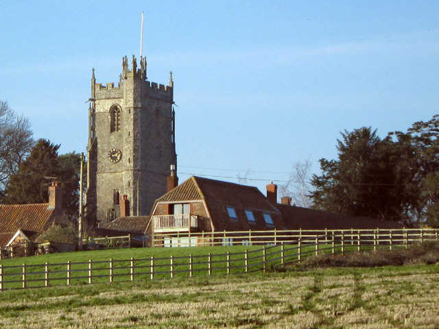
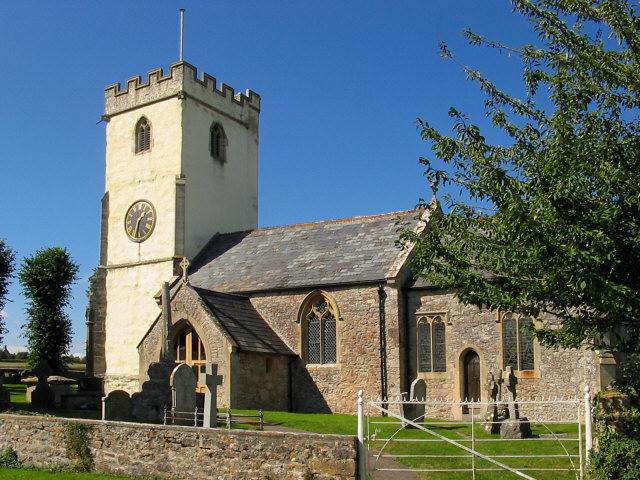
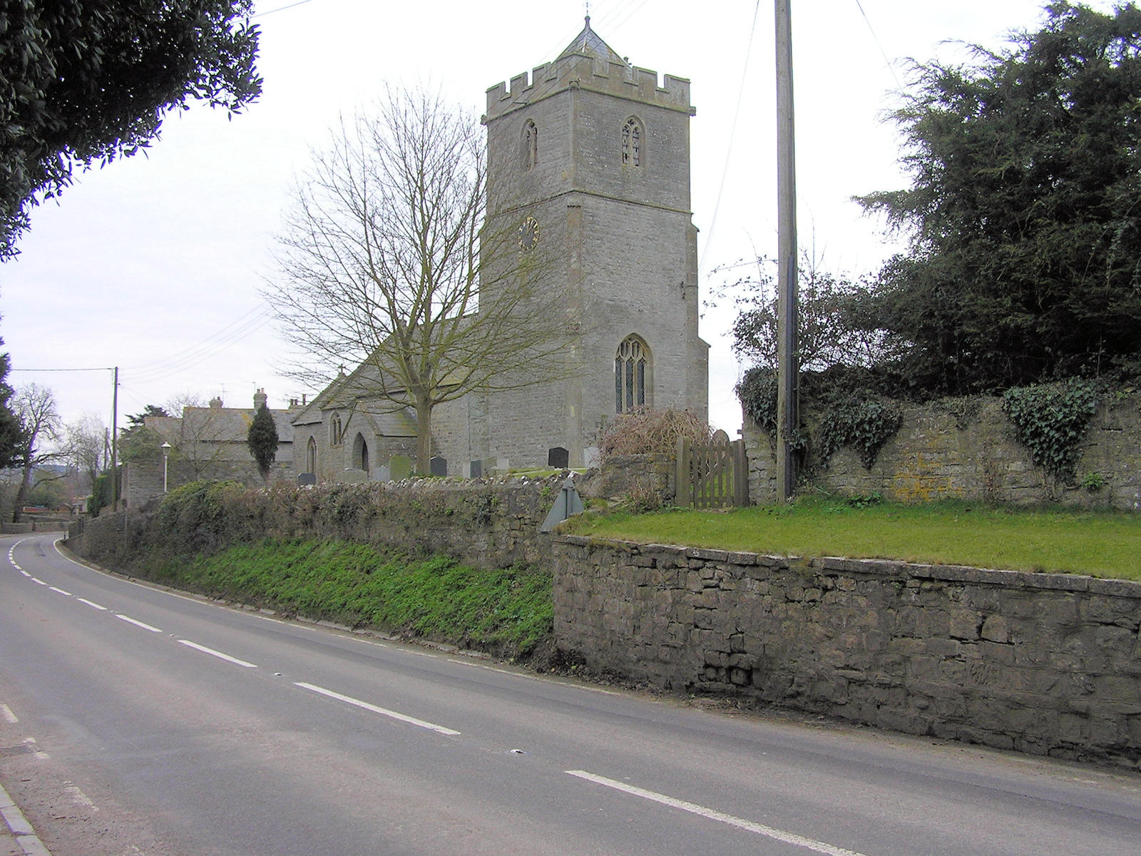
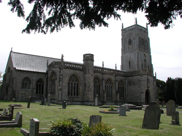
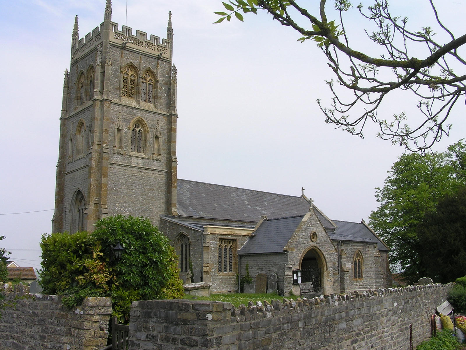
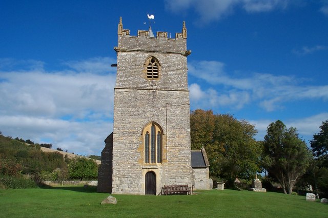
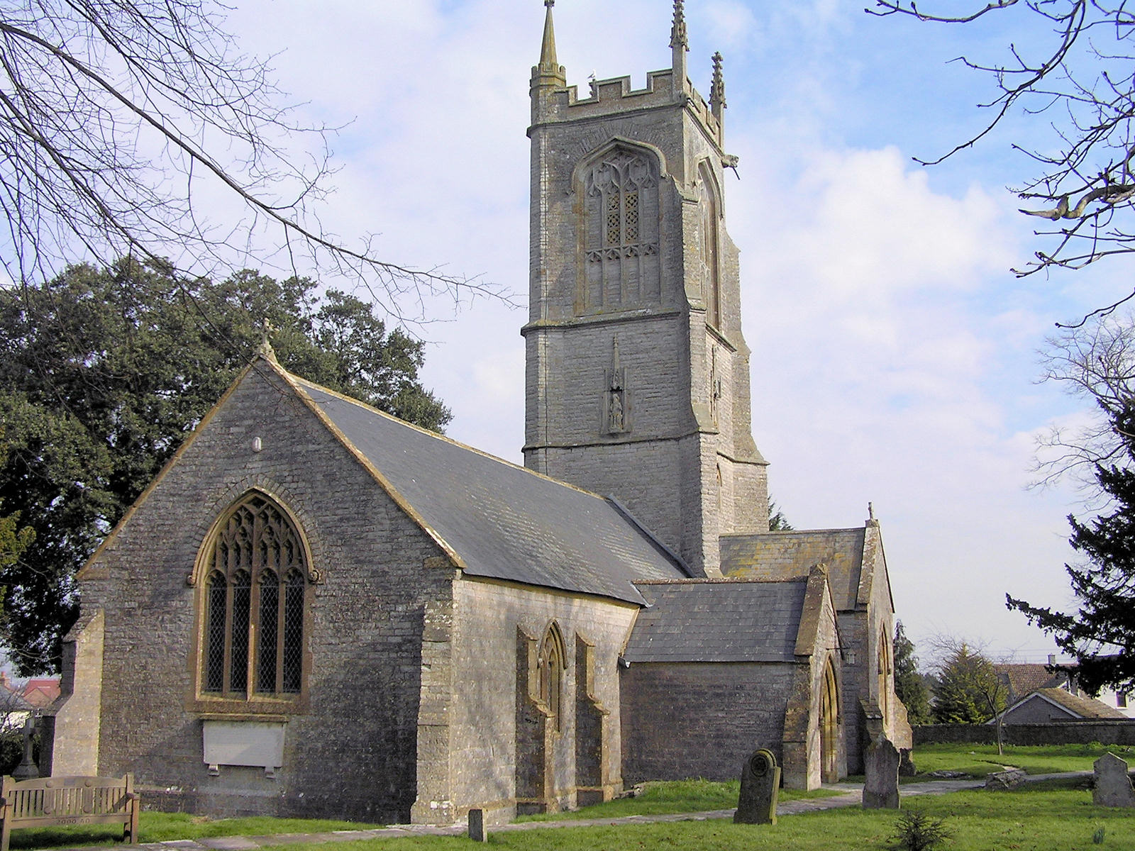
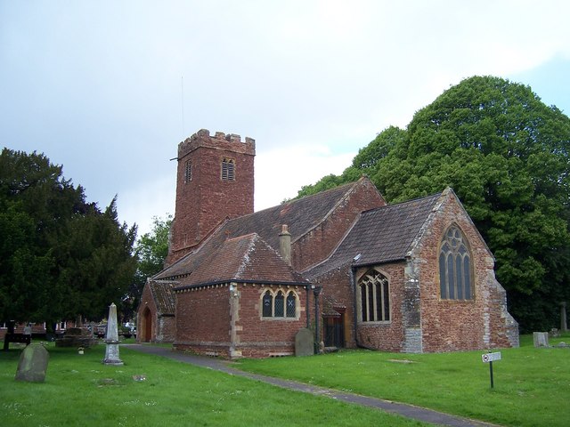
| Image | Name | Status | Population[6] | Former local authority | Coordinates | Refs |
|---|---|---|---|---|---|---|
 | Ashcott | Civil parish | 1,186 | Bridgwater Rural District | 51.12°N 2.81°W | [7][8] |
 | Axbridge | Town | 2,057 | Axbridge Rural District | 51.29°N 2.82°W | [7][9] |
 | Badgworth | Civil parish | 525 | Axbridge Rural District | 51.27°N 2.87°W | [7][9] |
 | Bawdrip | Civil parish | 506 | Bridgwater Rural District | 51.15°N 2.94°W | [7][8] |
 | Berrow | Civil parish | 1,534 | Axbridge Rural District | 51.27°N 3.01°W | [7][9] |
 | Brean | Civil parish | 635 | Axbridge Rural District | 51.30°N 3.01°W | [7][9] |
 | Brent Knoll | Civil parish | 1,271 | Axbridge Rural District | 51.25°N 2.95°W | [7][9] |
 | Bridgwater | Town | 35,886 | Bridgwater Municipal Borough | 51.13°N 2.99°W | [7][8] |
 | Bridgwater Without | Civil parish | 428 | Bridgwater Rural District | 51.14°N 2.97°W | [7][8] |
 | Broomfield | Civil parish | 249 | Bridgwater Rural District | 51.08°N 3.11°W | [7][8] |
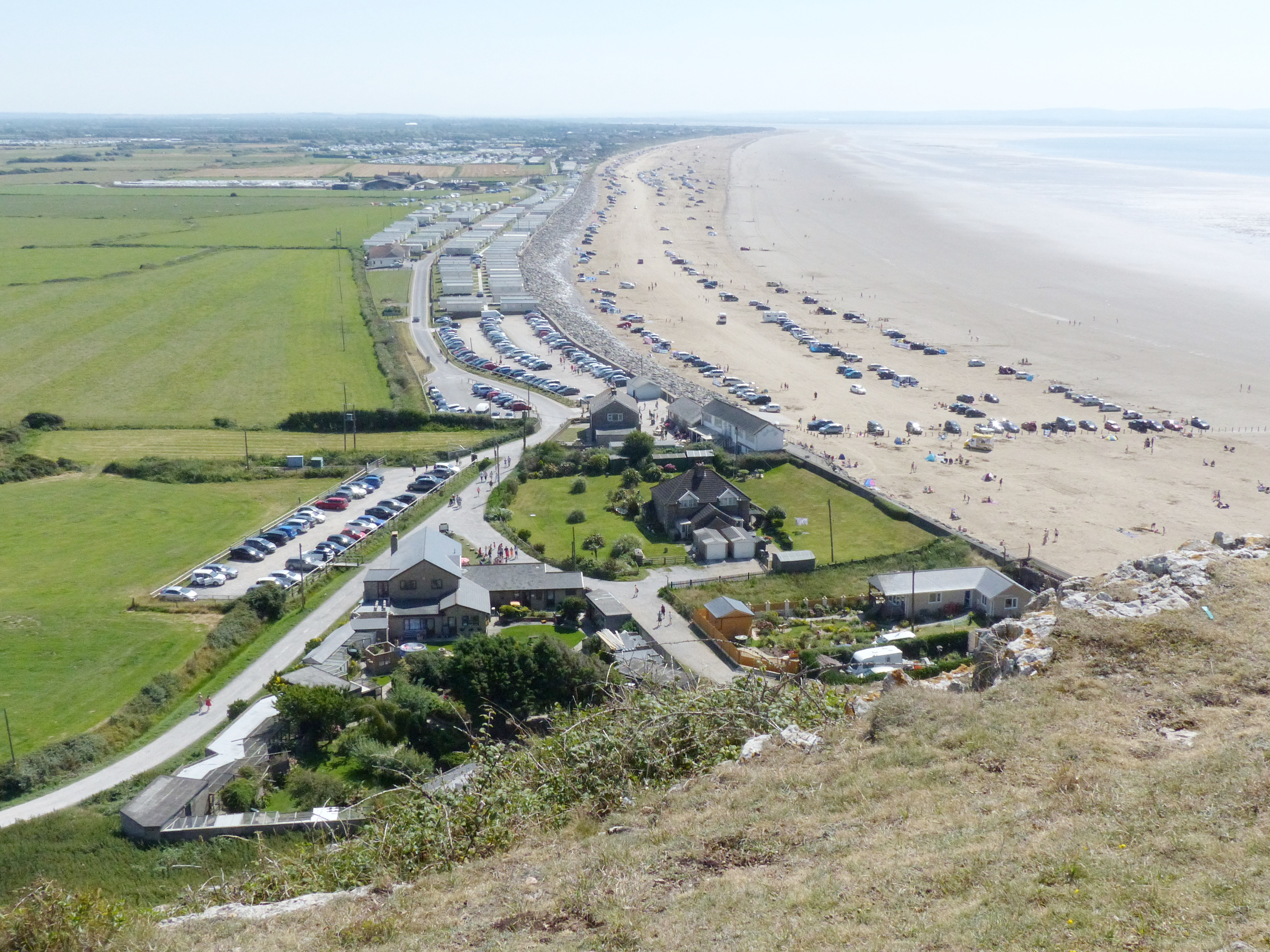
 | Burnham on Sea and Highbridge | Town | 19,576 | Burnham on Sea Urban District | 51.24°N 2.99°W | [7][10] |
 | Burnham Without | Civil Parish | 1,636 | Axbridge Rural District | 51.23°N 2.96°W | [7][9] |
 | Burtle | Civil parish | 388 | Bridgwater Rural District | 51.17°N 2.87°W | [7][8] |
 | Cannington | Civil parish | 2,271 | Bridgwater Rural District | 51.15°N 3.07°W | [7][8] |
 | Catcott | Civil parish | 531 | Bridgwater Rural District | 51.15°N 2.87°W | [7][8] |
 | Chapel Allerton | Civil parish | 401 | Axbridge Rural District | 51.25°N 2.85°W | [7][9] |
 | Cheddar | Civil parish | 5,755 | Axbridge Rural District | 51.28°N 2.78°W | [7][9] |
 | Chedzoy | Civil parish | 404 | Bridgwater Rural District | 51.13°N 2.95°W | [7][8] |
 | Chilton Polden | Civil parish | 698 | Bridgwater Rural District | 51.15°N 2.90°W | [7][8] |
 | Chilton Trinity | Civil parish | 260 | Bridgwater Rural District | 51.15°N 3.01°W | [7][8] |
 | Compton Bishop | Civil parish | 620 | Axbridge Rural District | 51.30°N 2.87°W | [7][9] |
 | Cossington | Civil parish | 564 | Bridgwater Rural District | 51.16°N 2.92°W | [7][8] |
 | Durleigh | Civil parish | 548 | Bridgwater Rural District | 51.12°N 3.04°W | [7][8] |
 | East Brent | Civil parish | 1,302 | Axbridge Rural District | 51.26°N 2.94°W | [7][9] |
 | East Huntspill | Civil parish | 1,146 | Bridgwater Rural District | 51.20°N 2.98°W | [7][8] |
 | Edington | Civil parish | 372 | Bridgwater Rural District | 51.15°N 2.88°W | [7][8] |
 | Enmore | Civil parish | 247 | Bridgwater Rural District | 51.11°N 3.09°W | [7][8] |
 | Fiddington | Civil parish | 298 | Bridgwater Rural District | 51.16°N 3.12°W | [7][8] |
 | Goathurst | Civil parish | 193 | Bridgwater Rural District | 51.10°N 3.06°W | [7][8] |
 | Greinton | Civil Parish | 71 | Bridgwater Rural District | 51.12°N 2.84°W | [8] |
 | Lympsham | Civil parish | 960 | Axbridge Rural District | 51.29°N 2.95°W | [7][9] |
 | Lyng | Civil parish | 338 | Bridgwater Rural District | 51.05°N 2.96°W | [7][8] |
 | Mark | Civil parish | 1,478 | Axbridge Rural District | 51.23°N 2.89°W | [7][9] |
 | Middlezoy | Civil parish | 725 | Bridgwater Rural District | 51.09°N 2.89°W | [7][8] |
 | Moorlinch | Civil parish | 408 | Bridgwater Rural District | 51.13°N 2.86°W | [7][8] |
 | Nether Stowey | Civil parish | 1,373 | Bridgwater Rural District | 51.15°N 3.15°W | [7][8] |
 | North Petherton | Town | 6,730 | Bridgwater Rural District | 51.09°N 3.01°W | [7][8] |
 | Othery | Civil parish | 642 | Bridgwater Rural District | 51.08°N 2.88°W | [7][8] |
 | Otterhampton | Civil parish | 831 | Bridgwater Rural District | 51.18°N 3.08°W | [7][8] |
 | Over Stowey | Civil parish | 352 | Bridgwater Rural District | 51.15°N 3.15°W | [7][8] |
 | Pawlett | Civil Parish | 1,038 | Bridgwater Rural District | 51.18°N 3.00°W | [7][8] |
 | Puriton | Civil parish | 1,068 | Bridgwater Rural District | 51.17°N 2.97°W | [7][8] |
 | Shapwick | Civil parish | 536 | Bridgwater Rural District | 51.14°N 2.83°W | [7][8] |
 | Shipham | Civil parish | 1,087 | Axbridge Rural District | 51.31°N 2.80°W | [7][9] |
 | Spaxton | Civil parish | 1,012 | Bridgwater Rural District | 51.13°N 3.11°W | [7][8] |
 | Stawell | Civil parish | 386 | Bridgwater Rural District | 51.14°N 2.91°W | [7][8] |
 | Stockland Bristol | Civil parish | 165 | Bridgwater Rural District | 51.19°N 3.08°W | [7][8] |
 | Thurloxton | Civil parish | 153 | Bridgwater Rural District | 51.07°N 3.04°W | [7][8] |
 | Weare | Civil parish | 658 | Axbridge Rural District | 51.27°N 2.84°W | [7][9] |
 | Wedmore | Civil Parish | 3,318 | Axbridge Rural District | 51.23°N 2.81°W | [7][9] |
 | Wembdon | Civil parish | 3,613 | Bridgwater Rural District | 51.13°N 3.02°W | [7][8] |
 | West Huntspill | Civil parish | 1,414 | Bridgwater Rural District | 51.20°N 2.98°W | [7][8] |
 | Westonzoyland | Civil parish | 1,801 | Bridgwater Rural District | 51.11°N 2.92°W | [7][8] |
 | Woolavington | Civil parish | 2,115 | Bridgwater Rural District | 51.17°N 2.93°W | [7][8] |
Rivers
Battles
- Battle of Sedgemoor 1685
Industry
Light industry now predominates, but traditional trades including peat extraction, willow crafts and cider making may still be found, in addition to livestock farming. The River Parrett provides a source of eels (anguilla anguilla) and elvers from January through to May.
Also notable is the new Isleport trading estate at Highbridge, which houses many global businesses such as Geest (Isleport Foods) who make yoghurt under franchise to Ski & Muller, Brake Brothers who supply the catering trade, BFP wholesale who supply dry goods to bakeries etc., Woodbury & Haines who supply furniture globally, Polybeam Limited who supply GRP radio masts to customers such as Marconi, and also AT&T whose centre there controls all internet cable traffic to and from the US.
Industry in Bridgwater has also seen major growth recently with the opening of "Express Park" which houses Gerber Foods (a global fruit juice supplier), NHS Logistics depot and Eddie Stobart depot. South of Bridgwater, at Huntworth, is a large Somerfield depot which supplies their Somerfield and former Kwik Save stores in the south west.
Governance
Sedgemoor District Council
The Sedgemoor district was established in 1974 and is based in Bridgwater. It covers a mostly rural area between the Quantock Hills and the Mendip Hills.
Members of UK parliament
The area is falls within the Bridgwater and West Somerset and Wells county constituencies which are represented in the House of Commons of the Parliament of the United Kingdom by the first past the post system of election. The current MP for Bridgewater and West Somerset is Ian Liddell-Grainger,[11] a Conservative; for Wells the MP is James Heappey, also a Conservative, who won the seat in 2015 from Tessa Munt, a Liberal Democrat.[12]
Education
Schools (those which are not independent) in Sedgemoor are operated the Children & Young People's Directorate of Somerset County Council, although some such as The Kings of Wessex School in Cheddar have distanced themselves from the county council by opting for foundation and then subsequently academy status.
See also
- List of Grade I listed buildings in Sedgemoor
- List of Scheduled Monuments in Sedgemoor
References
- "Population Estimates for UK, England and Wales, Scotland and Northern Ireland, Mid-2019". Office for National Statistics. 6 May 2020. Retrieved 6 May 2020.
- Robert Dunning, ed. (2004). "Introduction". A History of the County of Somerset: Volume 8: The Poldens and the Levels. Institute of Historical Research. Retrieved 1 August 2011.
- "Frequently asked questions". Somerset County Council. Retrieved 1 January 2022.
- "Elections for new Somerset Council to be held in May 2022". BBC News. 2 December 2021. Retrieved 1 January 2022.
- "Sedgemoor District Council". Ethnic Multicultural Media Academy. Retrieved 4 August 2008.
- "Sedgemoor parish population estimates for 2002" (PDF). Somerset County Council. 2002. Archived from the original (PDF) on 21 November 2009. Retrieved 17 October 2009.
- "Statistics for Wards, LSOAs and Parishes – SUMMARY Profiles" (Excel). Somerset Intelligence. Retrieved 4 January 2014.
- "Brdigwater RD". A vision of Britain Through Time. University of Portsmouth. Retrieved 4 January 2014.
- "Axbridge RD". A vision of Britain Through Time. University of Portsmouth. Retrieved 4 January 2014.
- "Burnham UD". A vision of Britain Through Time. University of Portsmouth. Retrieved 4 January 2014.
- "Alphabetical List of Constituencies and Members of Parliament". House of Commons Information Office. Archived from the original on 17 January 2008. Retrieved 19 January 2008.
- "Wells". Election 2010. BBC News. Retrieved 7 May 2010.
External links

Somerset Portal | |
| Unitary authorities |
|
| Boroughs or districts |
|
| Major settlements |
|
| Rivers |
|
| Topics |
|
Authority control | |
|---|---|
| General |
|
| National libraries | |
На других языках
[de] Sedgemoor
Sedgemoor ist ein District in der Grafschaft Somerset in England. Verwaltungssitz ist die Stadt Bridgwater; weitere bedeutende Orte sind Burnham-on-Sea, Cheddar und North Petherton.- [en] Sedgemoor
[ru] Седжмур
Седжмур (англ. Sedgemoor) — неметрополитенский район (англ. non-metropolitan district) в графстве Сомерсет (Англия). Административный центр — город Бриджуотер.Другой контент может иметь иную лицензию. Перед использованием материалов сайта WikiSort.org внимательно изучите правила лицензирования конкретных элементов наполнения сайта.
WikiSort.org - проект по пересортировке и дополнению контента Википедии