world.wikisort.org - Spain
Galapagar is a town and municipality northwest of Madrid, Spain, situated in the autonomous community of the Community of Madrid. Of all the towns in the area, it was experiencing the most growth, mostly because of immigration and the conversion of old livestock fields into terrain for construction.
This article may be expanded with text translated from the corresponding article in Spanish. (June 2012) Click [show] for important translation instructions.
|
This article does not cite any sources. (June 2012) |
Galapagar | |
|---|---|
Municipality | |
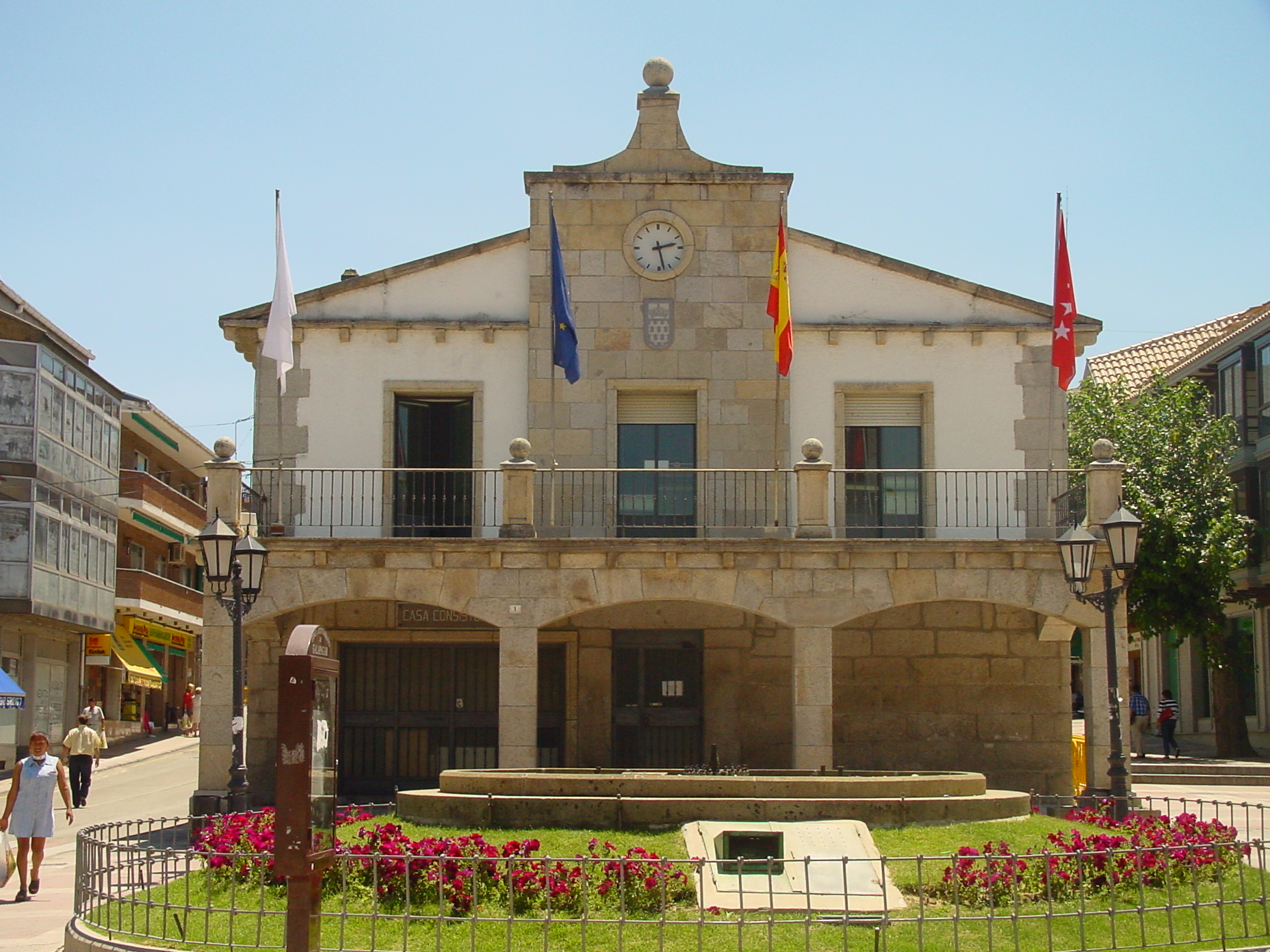 City Hall. | |
 Flag  Coat of arms | |
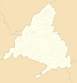 Galapagar Location in Spain  Galapagar Galapagar (Spain) | |
| Coordinates: 40°34′35″N 4°0′7″W | |
| Country | Spain |
| Community | Community of Madrid |
| Province | Madrid |
| Comarca | Guadarrama |
| Government | |
| • Mayor | Alberto Gómez (PSOE) |
| Area | |
| • Total | 65 km2 (25 sq mi) |
| Elevation | 881 m (2,890 ft) |
| Population (2018)[1] | |
| • Total | 33,379 |
| • Density | 510/km2 (1,300/sq mi) |
| Demonym(s) | Galapagueños |
| Time zone | UTC+1 (CET) |
| • Summer (DST) | UTC+2 (CEST) |
| Postal code | 28260 |
| Website | Official website |
The name Galapagar comes from the Spanish galápago, meaning turtle, as the town centre was settled near a lake full of turtles. The town first appears as a village in the eleventh century, its importance due to the frequent hunting expeditions by the Spanish royalty, and being a main stop on the road from the capital to the Royal Monastery of San Lorenzo de El Escorial. Sights in the town include the church of The Asunción (Assumption).
Galapagar is served by lines C-3, C-8 and C-10 of the Cercanías Madrid commuter rail service at its Galapagar-La Navata train station; and by 9 lines of Interurban Bus Service linking it to Moncloa district of Madrid.
Jacinto Benavente, one of the foremost Spanish dramatists of the 20th century and 1922 laurate of the Nobel Prize in Literature, is buried here. The British writer Malcolm Brocklehurst lived in the village between 1982 and 1983.
Bullfighting, stock-breeding, meadows and beef are the main features of Galapagar. The bullfighter José Tomás was born in this place.
See also
- Los Negrales
References
- Municipal Register of Spain 2018. National Statistics Institute.
Municipalities of the Madrid Metropolitan Area | ||
|---|---|---|
| 3,000,000+ |
|  |
| 200,000+ |
| |
| 150,000+ |
| |
| 100,000+ |
| |
| 50,000+ |
| |
| 25,000+ |
| |
Municipalities of the Community of Madrid | ||
|---|---|---|
| 3,000,000+ |
| |
| 200,000+ |
| |
| 150,000+ |
| |
| 100,000+ |
| |
| 50,000+ |
| |
| 25,000+ |
| |
| under 25,000 |
| |
Authority control | |
|---|---|
| General | |
| National libraries | |
| Other |
|
This article about a location in the Community of Madrid, Spain is a stub. You can help Wikipedia by expanding it. |
На других языках
- [en] Galapagar
[es] Galapagar
Galapagar es un municipio del noroeste de la Comunidad de Madrid (España), a 33 kilómetros de la capital de España. Se extiende sobre una superficie de 65 km². Limita con Collado Villalba, Colmenarejo, Torrelodones, Las Rozas de Madrid, El Escorial, San Lorenzo de El Escorial, Villanueva del Pardillo, Hoyo de Manzanares, Moralzarzal y Guadarrama.[ru] Галапагар
Галапагар (исп. Galapagar) — город и одноимённый муниципалитет в Испании, входит в провинцию Мадрид в составе автономного сообщества Мадрид. Муниципалитет находится в составе района (комарки) Куэнка-дель-Гвадаррама. Занимает площадь 65 км². Население 32393 человека (на 2010 год). Расстояние до административного центра провинции — 33 км.Другой контент может иметь иную лицензию. Перед использованием материалов сайта WikiSort.org внимательно изучите правила лицензирования конкретных элементов наполнения сайта.
WikiSort.org - проект по пересортировке и дополнению контента Википедии