world.wikisort.org - Russia
Atka (Russian: Атка) is an urban locality (an urban-type settlement) in Khasynsky District of Magadan Oblast, Russia, located on the Kolyma Highway, 199 kilometers (124 mi) by road north of the oblast's administrative center Magadan. Population: 485 (2010 Census);[1] 604 (2002 Census);[5] 2,648 (1989 Census).[6]
Atka
Атка | |
|---|---|
Urban-type settlement | |
 Atka in 2011 | |
Location of Atka  | |
 Atka Location of Atka 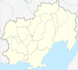 Atka Atka (Magadan Oblast) | |
| Coordinates: 60°50′10″N 151°47′30″E | |
| Country | Russia |
| Federal subject | Magadan Oblast |
| Administrative district | Khasynsky District |
| Elevation | 884 m (2,900 ft) |
| Population | |
| • Total | 485 |
| • Estimate (2018)[2] | 323 (−33.4%) |
| Time zone | UTC+11 (MSK+8 |
| Postal code(s)[4] | 686114 |
| OKTMO ID | 44719000056 |
Geography
The sources of the Yama are near Atka and the Maltan river flows northwards to the west of the town. The Maymandzhin Range rises above the northern and eastern sides. [7] Atka is on the same longitude as the Sydney, Australia, both lying on the 151st meridian.
History
It was granted urban-type settlement status in 1953.
Climate
Atka has a subarctic climate (Köppen climate classification Dfc), with cool, humid summers and severe to extreme winters.
| Climate data for Atka | |||||||||||||
|---|---|---|---|---|---|---|---|---|---|---|---|---|---|
| Month | Jan | Feb | Mar | Apr | May | Jun | Jul | Aug | Sep | Oct | Nov | Dec | Year |
| Record high °C (°F) | −4.0 (24.8) |
0.0 (32.0) |
3.0 (37.4) |
7.5 (45.5) |
21.1 (70.0) |
29.0 (84.2) |
31.1 (88.0) |
29.4 (84.9) |
22.2 (72.0) |
10.5 (50.9) |
0.0 (32.0) |
0.0 (32.0) |
31.1 (88.0) |
| Average high °C (°F) | −26.9 (−16.4) |
−23.7 (−10.7) |
−17.2 (1.0) |
−7.1 (19.2) |
4.0 (39.2) |
14.8 (58.6) |
17.6 (63.7) |
14.9 (58.8) |
6.8 (44.2) |
−6.9 (19.6) |
−20.1 (−4.2) |
−26.0 (−14.8) |
−5.8 (21.5) |
| Daily mean °C (°F) | −30.6 (−23.1) |
−28.2 (−18.8) |
−23.2 (−9.8) |
−13.2 (8.2) |
−0.2 (31.6) |
9.0 (48.2) |
12.0 (53.6) |
9.2 (48.6) |
1.7 (35.1) |
−12.2 (10.0) |
−24.7 (−12.5) |
−30.1 (−22.2) |
−10.9 (12.4) |
| Average low °C (°F) | −34.3 (−29.7) |
−32.8 (−27.0) |
−29.1 (−20.4) |
−19.3 (−2.7) |
−6.0 (21.2) |
1.7 (35.1) |
5.1 (41.2) |
2.7 (36.9) |
−3.9 (25.0) |
−17.5 (0.5) |
−29.4 (−20.9) |
−34.2 (−29.6) |
−16.4 (2.5) |
| Record low °C (°F) | −53.9 (−65.0) |
−53.9 (−65.0) |
−51.1 (−60.0) |
−37.8 (−36.0) |
−28.9 (−20.0) |
−9.6 (14.7) |
−6.1 (21.0) |
−11.1 (12.0) |
−25.0 (−13.0) |
−43.9 (−47.0) |
−55.0 (−67.0) |
−57.8 (−72.0) |
−57.8 (−72.0) |
| Average precipitation mm (inches) | 21.1 (0.83) |
23.3 (0.92) |
31.3 (1.23) |
71.6 (2.82) |
74.4 (2.93) |
77.4 (3.05) |
97.7 (3.85) |
70.5 (2.78) |
88.6 (3.49) |
59.8 (2.35) |
41.3 (1.63) |
24.9 (0.98) |
681.9 (26.86) |
| Source: climatebase.ru[8] | |||||||||||||
References
- Russian Federal State Statistics Service (2011). Всероссийская перепись населения 2010 года. Том 1 [2010 All-Russian Population Census, vol. 1]. Всероссийская перепись населения 2010 года [2010 All-Russia Population Census] (in Russian). Federal State Statistics Service.
- "26. Численность постоянного населения Российской Федерации по муниципальным образованиям на 1 января 2018 года". Federal State Statistics Service. Retrieved January 23, 2019.
- "Об исчислении времени". Официальный интернет-портал правовой информации (in Russian). June 3, 2011. Retrieved January 19, 2019.
- Почта России. Информационно-вычислительный центр ОАСУ РПО. (Russian Post). Поиск объектов почтовой связи (Postal Objects Search) (in Russian)
- Russian Federal State Statistics Service (May 21, 2004). Численность населения России, субъектов Российской Федерации в составе федеральных округов, районов, городских поселений, сельских населённых пунктов – районных центров и сельских населённых пунктов с населением 3 тысячи и более человек [Population of Russia, Its Federal Districts, Federal Subjects, Districts, Urban Localities, Rural Localities—Administrative Centers, and Rural Localities with Population of Over 3,000] (XLS). Всероссийская перепись населения 2002 года [All-Russia Population Census of 2002] (in Russian).
- Всесоюзная перепись населения 1989 г. Численность наличного населения союзных и автономных республик, автономных областей и округов, краёв, областей, районов, городских поселений и сёл-райцентров [All Union Population Census of 1989: Present Population of Union and Autonomous Republics, Autonomous Oblasts and Okrugs, Krais, Oblasts, Districts, Urban Settlements, and Villages Serving as District Administrative Centers]. Всесоюзная перепись населения 1989 года [All-Union Population Census of 1989] (in Russian). Институт демографии Национального исследовательского университета: Высшая школа экономики [Institute of Demography at the National Research University: Higher School of Economics]. 1989 – via Demoscope Weekly.
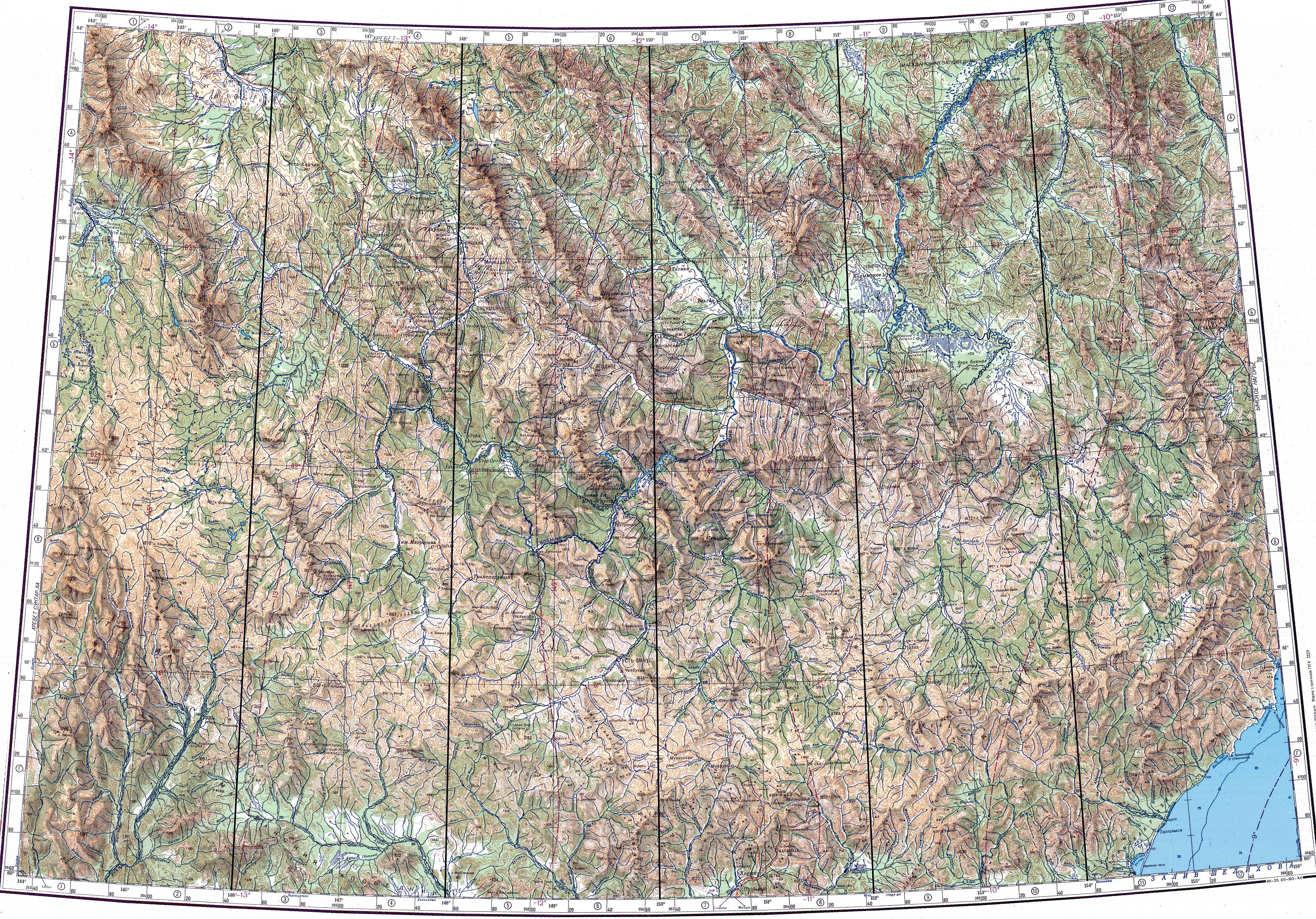
- "Топографска карта P-55_56 - Topographic USSR Chart (in Russian)". Retrieved March 14, 2022.
- "Atka, Russia". Climatebase.ru. Retrieved December 21, 2021.
This Magadan Oblast location article is a stub. You can help Wikipedia by expanding it. |
На других языках
- [en] Atka, Russia
[ru] Атка
А́тка — посёлок городского типа в Хасынском районе Магаданской области России.Другой контент может иметь иную лицензию. Перед использованием материалов сайта WikiSort.org внимательно изучите правила лицензирования конкретных элементов наполнения сайта.
WikiSort.org - проект по пересортировке и дополнению контента Википедии