world.wikisort.org - Netherlands
Oosterhesselen is a village in the Dutch province of Drenthe. It is located in the municipality of Coevorden, about 9 km north of the city. Oosterhesselen was a separate municipality between 1819 and 1998, when it was merged with Coevorden.[3]
Oosterhesselen | |
|---|---|
Village | |
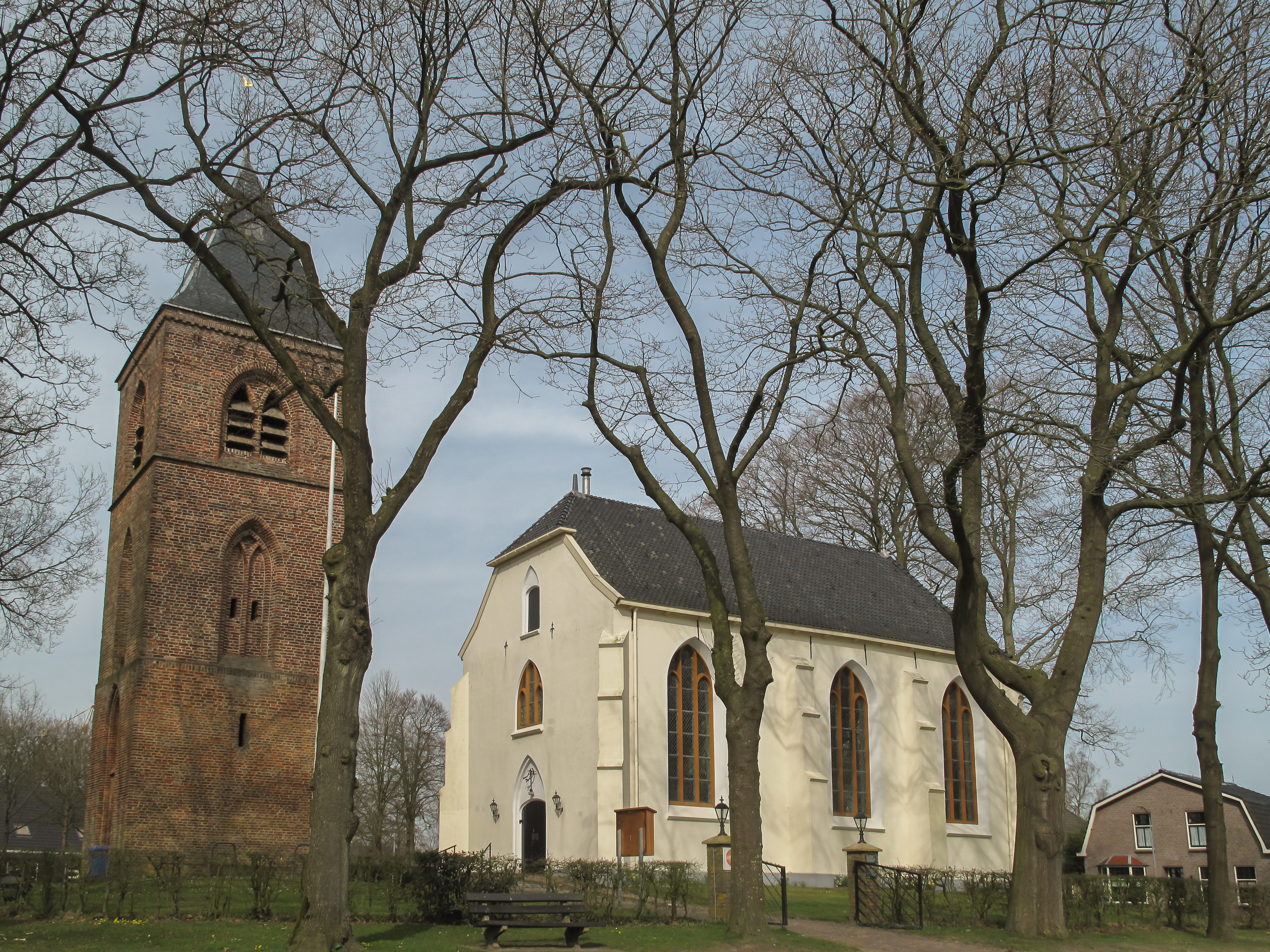 Church of Oosterhesselen | |
 Oosterhesselen  Oosterhesselen | |
| Coordinates: 52°45′26″N 6°43′10″E | |
| Country | Netherlands |
| Province | Drenthe |
| Municipality | Coevorden |
| Area | |
| • Total | 64.78 km2 (25.01 sq mi) |
| Elevation | 17 m (56 ft) |
| Population (2021)[1] | |
| • Total | 4,285 |
| • Density | 66/km2 (170/sq mi) |
| Time zone | UTC+1 (CET) |
| • Summer (DST) | UTC+2 (CEST) |
| Postal code | 7861[1] |
| Dialing code | 0524 |
| Major roads | A37 |
History
Oosterhesselen is an esdorp which developed in the early Middle Ages. It has a large village green with the church in the middle.[4] It was first mentioned in 1207 as Oesterhelsel, and refers to the common hazel tree. Oost (East) has been added to distinguish it from Westerhesselen.[5] Westerhesselen was renamed Darp in the 19th century.[6]
The church tower dates from the 15th century. The matching church was destroyed during the 1592 Siege of Coevorden, and in 1628 a new church was constructed detached from the tower.[4]
The havezate De Klencke dates from the Middle Ages.[4] A havezate was a requirement to be admitted to the Knights of Drenthe.[7] It was first mentioned in 1482, and was extensively modified in 1670. It is surrounded by a moat.[4] The 450 hectares (1,100 acres) forest around the estate has become a nature area.[8]
In 1819, Oosterhesselen became an independent municipality.[3] 1840, Oosterhesselen was home to 889 people.[9] The town hall dates from 1912, and forms a single building with the mayor's residence.[4]
Gallery
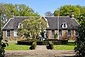 Estate De Klenche
 Farm t Tolhoes
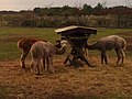 Alpacas in Oosterhesselen
 Nature area De Klencke


References
- "Kerncijfers wijken en buurten 2021". Central Bureau of Statistics. Retrieved 13 March 2022.
- "Postcodetool for 7861AA". Actueel Hoogtebestand Nederland (in Dutch). Het Waterschapshuis. Retrieved 13 March 2022.
- Ad van der Meer and Onno Boonstra, Repertorium van Nederlandse gemeenten, KNAW, 2011.
- Ronald Stenvert (2001). Oosterhesselen (in Dutch). Zwolle: Waanders. p. 163. ISBN 90 400 9454 3. Retrieved 13 March 2022.
- "Oosterhesselen - (geografische naam)". Etymologiebank (in Dutch). Retrieved 13 March 2022.
- "Hesselte - (geografische naam)". Etymologiebank (in Dutch). Retrieved 13 March 2022.
- "Havezate". Geheugen van Drenthe (in Dutch). Retrieved 13 March 2022.
- "De Klencke". Geheugen van Drenthe (in Dutch). Retrieved 13 March 2022.
- "Oosterhesselen". Plaatsengids (in Dutch). Retrieved 13 March 2022.
Authority control | |
|---|---|
| General | |
| National libraries | |
Другой контент может иметь иную лицензию. Перед использованием материалов сайта WikiSort.org внимательно изучите правила лицензирования конкретных элементов наполнения сайта.
WikiSort.org - проект по пересортировке и дополнению контента Википедии