world.wikisort.org - Netherlands
Ee (Dutch pronunciation: [eː]) (West Frisian: Ie) is a village in the northern Netherlands. It is located in the municipality of Noardeast-Fryslân, Friesland, east of Dokkum. Ee had approximately 834 inhabitants in January 2017.[3] Before 2019, the village was part of the Dongeradeel municipality.[4]
Ee
Ie | |
|---|---|
Village | |
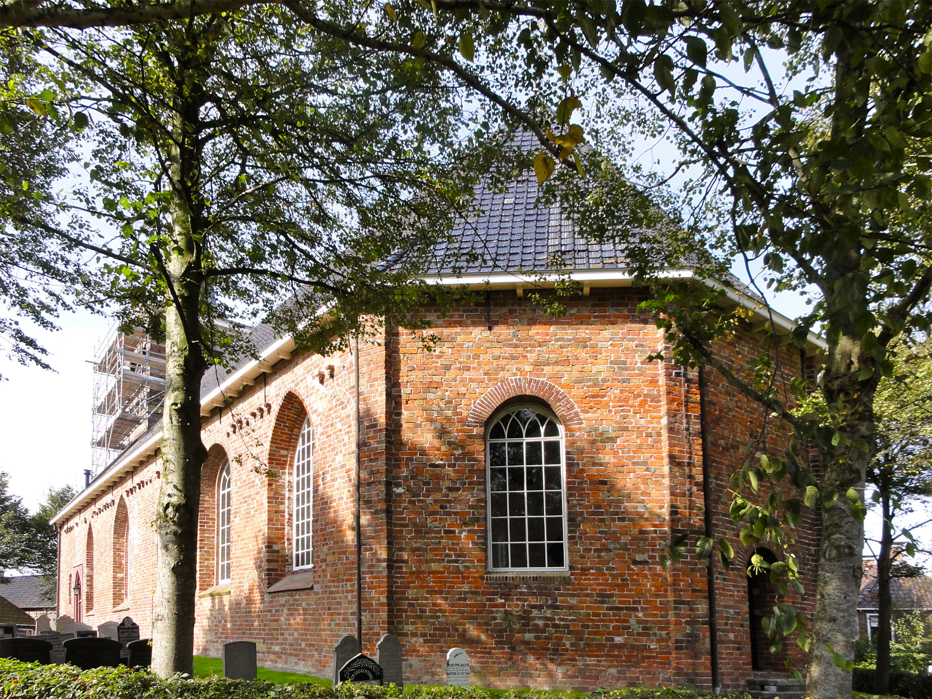 St Gangulf church | |
 Coat of arms | |
 Location in the former Dongeradeel municipality | |
 Ee Location in the Netherlands  Ee Ee (Netherlands) | |
| Coordinates: | |
| Country | |
| Province | |
| Municipality | Noardeast-Fryslân |
| Area | |
| • Total | 13.26 km2 (5.12 sq mi) |
| Elevation | 0.2 m (0.7 ft) |
| Population (2021)[1] | |
| • Total | 645 |
| • Density | 49/km2 (130/sq mi) |
| Postal code | 9131[1] |
| Dialing code | 0519 |
| Website | Official |
There are various types of buildings in Ee, including a church built in the 13th century. A flax museum of the Netherlands is also located in Ee. Ee has mostly remained an intact rural village.[5]
Ee has the shortest name of all places in the Netherlands.
History
The village was first mentioned in 1450 as Ee, and means "water / river".[6] Ee is a terp (artificial living mound) village with a radial structure. It developed several centuries before Christ. The Dutch Reformed church dates from the 16th century and has a 13th century nave. The tower was built in 1869.[7] Up to 1729, a dike made inland navigation, and the nearby hamlet of Tibma had to be used as inland harbour.[8]
Ee was densely populated. There was no construction outside the terp until the 18th century.[8] In 1840, Ee was home to 904 people.[4]
Transportation
The N 358 passes through town.
Bus routes 63 and 562 connect Ee with Dokkum.
Gallery
 View on Ee
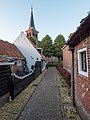 Alley in Ee
 Road in Ee
 Sign at the entrance of town


References
- "Kerncijfers wijken en buurten 2021". Central Bureau of Statistics. Retrieved 31 March 2022.
two entries
- "Postcodetool for 9131AA". Actueel Hoogtebestand Nederland (in Dutch). Het Waterschapshuis. Retrieved 31 March 2022.
- Aantal inwoners per woonplaats in Dongeradeel op 1 januari 2017 Archived 2017-10-21 at the Wayback Machine - Dongeradeel
- "Ee". Plaatsengids (in Dutch). Retrieved 31 March 2022.
- "Flax Museum It Braakhok - Ee". Fiets netwerk (in Dutch). Retrieved 31 March 2022.
- "Ie - (geografische naam)". Etymologiebank (in Dutch). Retrieved 31 March 2022.
- Ronald Stenvert & Sabine Broekhoven (2000). "Ee" (in Dutch). Zwolle: Waanders. ISBN 90 400 9476 4. Retrieved 31 March 2022.
- "Ee". Friesland Wonderland (in Dutch). Retrieved 2 April 2022.
External links
![]() Media related to Ee, Noardeast-Fryslân at Wikimedia Commons
Media related to Ee, Noardeast-Fryslân at Wikimedia Commons
На других языках
- [en] Ee, Friesland
[ru] Эй (город)
Эй (фриз. Ie, нид. Ee) — деревня в провинции Северо-Восточная Фрисландия, Нидерланды. Имеет самое короткое название населённого пункта в Нидерландах. На Январь 2017, в городе проживает 837 человек.[1] До 2019 года деревня была частью провинции Донгерадеель.Другой контент может иметь иную лицензию. Перед использованием материалов сайта WikiSort.org внимательно изучите правила лицензирования конкретных элементов наполнения сайта.
WikiSort.org - проект по пересортировке и дополнению контента Википедии