world.wikisort.org - Netherlands
Hantum is a village in Noardeast-Fryslân in the province of Friesland, the Netherlands. It had a population of around 404 in January 2017.[3] Before 2019, the village was part of the Dongeradeel municipality.[4]
Hantum | |
|---|---|
Village | |
 St Martin's church | |
 Flag  Coat of arms | |
 Location in the former Dongeradeel municipality | |
 Hantum Location in the Netherlands  Hantum Hantum (Netherlands) | |
| Coordinates: | |
| Country | |
| Province | |
| Municipality | Noardeast-Fryslân |
| Area | |
| • Total | 3.51 km2 (1.36 sq mi) |
| Elevation | 1 m (3 ft) |
| Population (2021)[1] | |
| • Total | 400 |
| • Density | 110/km2 (300/sq mi) |
| Postal code | 9147[1] |
| Dialing code | 0519 |
The village is home to a restored windmill, De Hantumermolen, and a Buddhist stupa and monastery.
History
The village was first mentioned in 944 as Hanaten. The etymology is unknown.[5] Hantum is a terp (artificial living mound) village which developed several centuries before Christ. The Dutch Reformed church dates from the late-12th century and was enlarged in the 16th century. In 1807, the tower was built.[6]
The polder mill De Hantumermolen was built in 1880. In 1957, the stock broke and an electromotor was intalled. The mill was restored in 1978, and is back in active service removing excess water from the polder.[7]
In 1840, Hamtum was home to 383 people.[4] Around 1900, the southern and western parts of the terp were excavated.[6]
In 1986, Karma Deleg Chö Phel Ling, a Buddhist monastery, was founded. A Buddhist Stupa was built near Hantum in 1993. The stupa measures 13 metres (43 ft), and was at the time the largest stupa in Western Europe. It belongs to the Karma Kagyu lineage of the Tibetan Buddhism, and is part of the monastery of Karma Deleg Chö Phel Ling.[8][4]
Gallery
 Village view
 De Hantumermolen
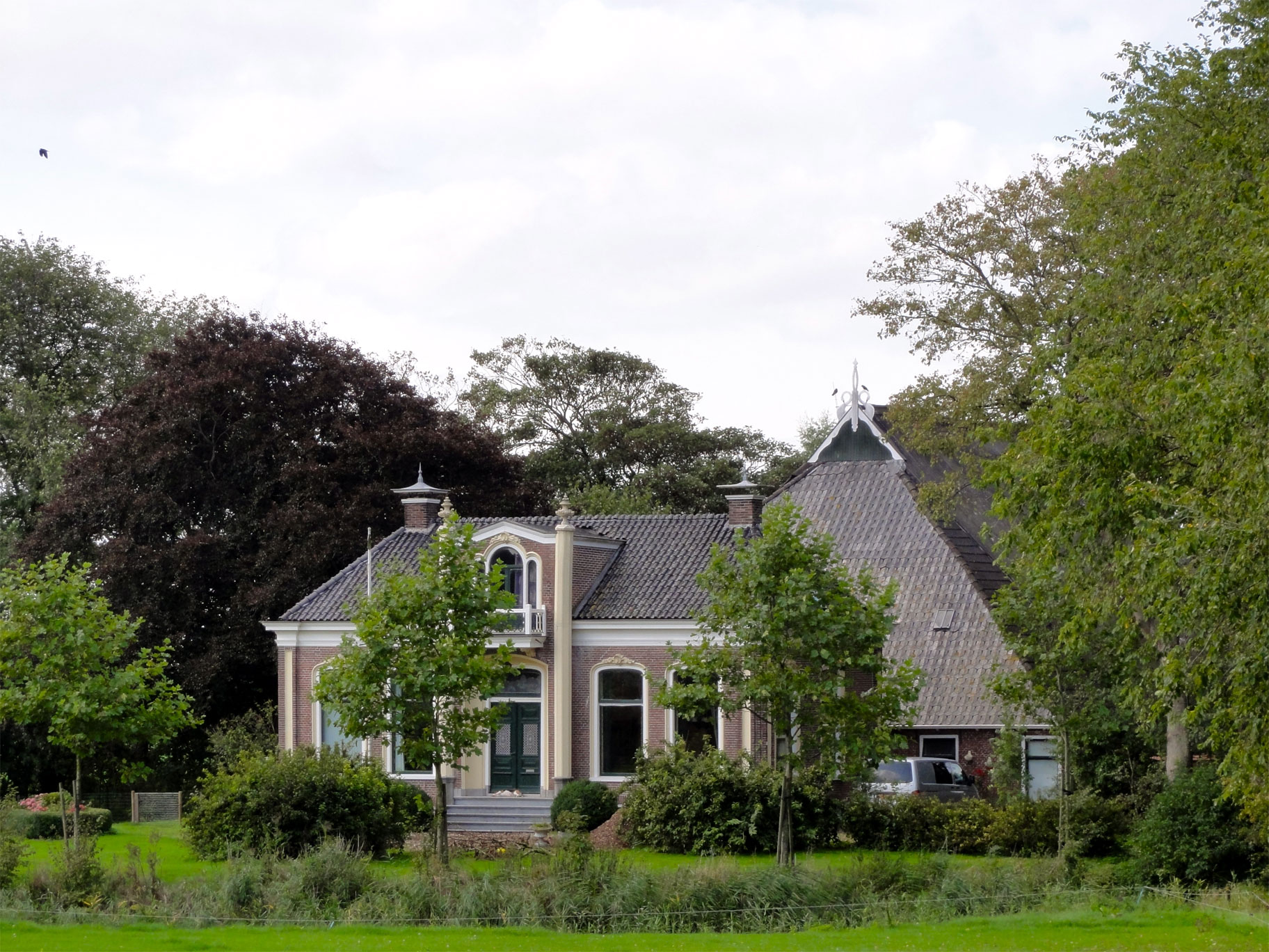
 De Kinnema sathe in Hantum
 Buddhist stupa in Hantum


References
- "Kerncijfers wijken en buurten 2021". Central Bureau of Statistics. Retrieved 31 March 2022.
two entries
- "Postcodetool for 9147BA". Actueel Hoogtebestand Nederland (in Dutch). Het Waterschapshuis. Retrieved 31 March 2022.
- Aantal inwoners per woonplaats in Dongeradeel op 1 januari 2017 Archived 2017-10-21 at the Wayback Machine - Dongeradeel
- "Hantum". Plaatsengids (in Dutch). Retrieved 31 March 2022.
- "Hantum - (geografische naam)". Etymologiebank (in Dutch). Retrieved 31 March 2022.
- Ronald Stenvert & Sabine Broekhoven (2000). "Hantum" (in Dutch). Zwolle: Waanders. ISBN 90 400 9476 4. Retrieved 31 March 2022.
- "De Hantumermolen". Molendatabase (in Dutch). Retrieved 31 March 2022.
- "Stoepa". Karma Kagyu.nl (in Dutch). Retrieved 31 March 2022.
External links
![]() Media related to Hantum at Wikimedia Commons
Media related to Hantum at Wikimedia Commons
На других языках
[de] Hantum
Hantum ist ein Dorf in der Gemeinde Noardeast-Fryslân in der niederländischen Provinz Friesland. Es befindet sich nordwestlich von Dokkum und hat 400 Einwohner (Stand: 1. Januar 2020).[1] Hantum wurde wie die meisten Dörfer in der Region auf einer Warft erbaut.- [en] Hantum
Другой контент может иметь иную лицензию. Перед использованием материалов сайта WikiSort.org внимательно изучите правила лицензирования конкретных элементов наполнения сайта.
WikiSort.org - проект по пересортировке и дополнению контента Википедии