world.wikisort.org - Japan
Nakanoto (中能登町, Nakanoto-machi) is a town located in Kashima District, Ishikawa Prefecture, Japan. As of 1 February 2018[update], the town had an estimated population of 18,278 in 6,625 households, and a population density of 84 persons per km2.[1] The total area of the town was 246.76 square kilometres (95.27 sq mi).
Nakanoto
中能登町 | |
|---|---|
Town | |
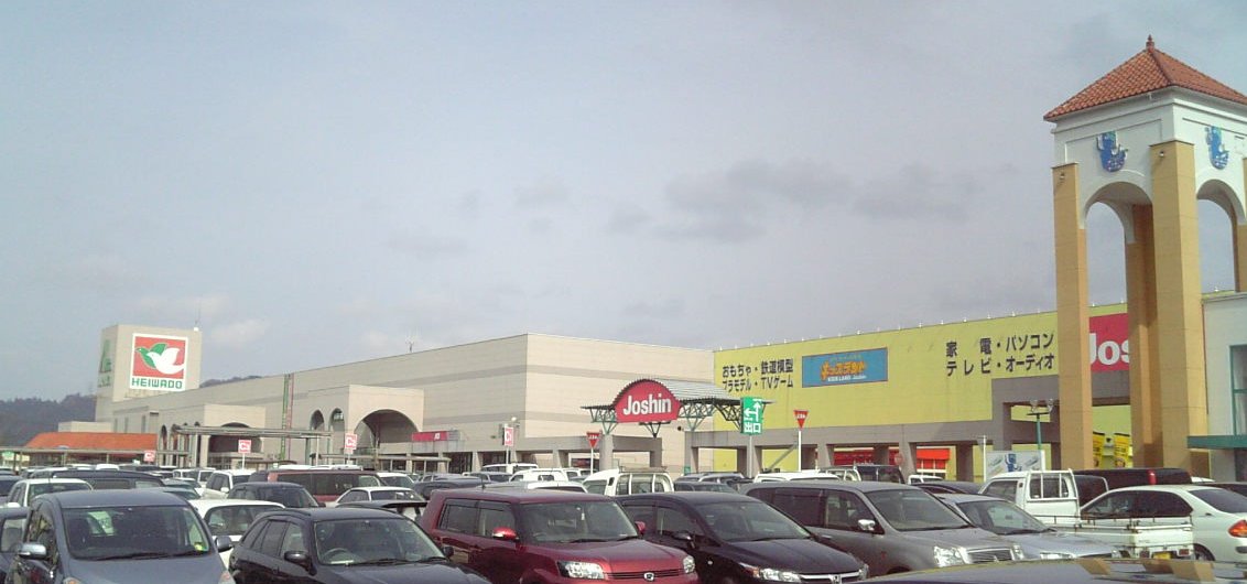 Shopping center in Nakanoto | |
 Flag  Seal | |
 Location of Nakanoto in Ishikawa Prefecture | |
 Nakanoto | |
| Coordinates: 36°59′22″N 136°54′5.3″E | |
| Country | Japan |
| Region | Chūbu Hokuriku |
| Prefecture | Ishikawa |
| District | Kashima |
| Area | |
| • Total | 89.45 km2 (34.54 sq mi) |
| Population (February 1, 2018) | |
| • Total | 18,278 |
| • Density | 200/km2 (530/sq mi) |
| Time zone | UTC+9 (Japan Standard Time) |
| City symbols | |
| - Tree | Sakura |
| - Flower | Lilium |
| - Bird | Japanese bush-warbler |
| Phone number | 0767-74-1234 |
| Address | 9-46 Suezaka, Nakanoto-cho, Kashima-gun, Ishikawa-ken 929-1792 |
| Website | Official website |
Geography
Nakanoto occupies the base of Noto Peninsula and is bordered by Toyama Prefecture to the south. Natural features of Nakanoto include Mount Sekidou and Fudo waterfall. It is one and a half hours from Kanazawa by train. Nakanoto has a humid continental climate (Köppen Cfa) characterized by mild summers and cold winters with heavy snowfall. The average annual temperature in Nakanoto is 13.7 °C. The average annual rainfall is 2411 mm with September as the wettest month. The temperatures are highest on average in August, at around 26.1 °C, and lowest in January, at around 2.8 °C.[2]
Neighbouring municipalities
Demographics
Per Japanese census data,[3] the population of Nakanoto has declined over the past 50 years.
| Year | Pop. | ±% |
|---|---|---|
| 1970 | 23,181 | — |
| 1980 | 22,475 | −3.0% |
| 1990 | 20,678 | −8.0% |
| 2000 | 19,149 | −7.4% |
| 2010 | 18,535 | −3.2% |
| 2020 | 16,540 | −10.8% |
History
The area around Nakanoto was part of ancient Noto Province. During the Sengoku Period (1467–1568), the area was contested between the Hatakeyama clan, Uesugi clan and Maeda clan, with the area becoming part of Kaga Domain under the Edo period Tokugawa shogunate. Following the Meiji restoration, the area was organised into Kashima District, Ishikawa.
The town was founded on March 1, 2005 from the merger of three towns in the district: Kashima, Rokusei, and Toriya.
Education
Nakanoto has three public elementary schools and one public middle school operated by the town government, and one public high school operated by the Ishikawa Prefectural Board of Education.
Transportation
Railway
![]() West Japan Railway Company - Nanao Line
West Japan Railway Company - Nanao Line
- Kanemaru - Notobe - Yoshikawa - Noto-Ninomiya
Highway
 National Route 159
Local attractions
- Amanomiya Kofun Cluster
References
External links
- Official website (in Japanese)
Kanazawa (capital) | ||
| Core city | ||
| Cities | ||
| Districts | ||
List of mergers in Ishikawa Prefecture | ||
This Ishikawa Prefecture location article is a stub. You can help Wikipedia by expanding it. |
На других языках
- [en] Nakanoto, Ishikawa
[es] Nakanoto (Ishikawa)
Nakanoto (中能登町, Nakanoto-machi?) es un pueblo localizado en la prefectura de Ishikawa, Japón. En octubre de 2019 tenía una población estimada de 16.705 habitantes y una densidad de población de 187 personas por km². Su área total es de 89,45 km².[ru] Наканото
Наканото (яп. 中能登町 Наканото-мати) — посёлок в Японии, находящийся в уезде Касима префектуры Исикава. Площадь посёлка составляет 89,36 км²[1], население — 17 819 человек (1 июля 2014)[2], плотность населения — 199,41 чел./км².Другой контент может иметь иную лицензию. Перед использованием материалов сайта WikiSort.org внимательно изучите правила лицензирования конкретных элементов наполнения сайта.
WikiSort.org - проект по пересортировке и дополнению контента Википедии