world.wikisort.org - Japan
Komono (菰野町, Komono-chō) is a town located in Mie Prefecture, Japan. As of 1 September 2021[update], the town had an estimated population of 41,542 in 16883 households and a population density of 390 persons per km².[1] The total area of the town was 106.89 square kilometres (41.27 sq mi).
Komono
菰野町 | |
|---|---|
Town | |
 Komono Town Office | |
 Flag  Seal | |
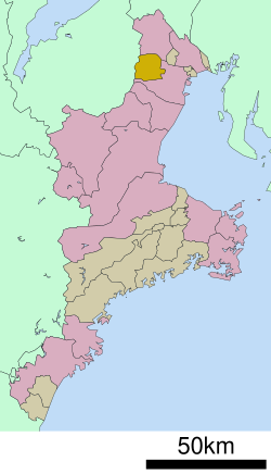 Location of Komono in Mie Prefecture | |
 Komono | |
| Coordinates: 35°1′N 136°30′E | |
| Country | Japan |
| Region | Kansai |
| Prefecture | Mie |
| District | Mie |
| Government | |
| • Mayor | Takayuki Shibata |
| Area | |
| • Total | 106.89 km2 (41.27 sq mi) |
| Population (September 2021) | |
| • Total | 41,542 |
| • Density | 390/km2 (1,000/sq mi) |
| Time zone | UTC+9 (Japan Standard Time) |
| - Tree | Zelkova serrata |
| - Bird | Japanese bush warbler |
| - Beast | Japanese serow |
| Phone number | 059-391-1111 |
| Address | 1480 Komoro, Komoro-chō, Mie-gun, Mie-ken 510-1292 |
| Website | Official website |
Geography
Komono is located in the mountainous region of northern Mie Prefecture, bordering on Shiga Prefecture. Parts of the town are within the limits of the Suzuka Quasi-National Park.
Neighboring municipalities
Mie Prefecture
- Yokkaichi
- Inabe
Shiga Prefecture
- Higashiōmi
- Kōka
Climate
Komono has a Humid subtropical climate (Köppen Cfa) characterized by warm summers and cool winters with light to no snowfall. The average annual temperature in Komono is 14.0 °C. The average annual rainfall is 1737 mm with September as the wettest month. The temperatures are highest on average in August, at around 25.6 °C, and lowest in January, at around 2.6 °C.[2]
Demographics
Per Japanese census data,[3] the population of Komono has increased steadily over the past 60 years.
| Year | Pop. | ±% |
|---|---|---|
| 1920 | 16,101 | — |
| 1930 | 16,363 | +1.6% |
| 1940 | 15,849 | −3.1% |
| 1950 | 20,897 | +31.9% |
| 1960 | 20,217 | −3.3% |
| 1970 | 24,187 | +19.6% |
| 1980 | 29,373 | +21.4% |
| 1990 | 32,263 | +9.8% |
| 2000 | 37,972 | +17.7% |
| 2010 | 39,973 | +5.3% |
History
Komoro is located in ancient Ise Province and was the center of 12,000 koku Komono Domain under the Tokugawa shogunate, ruled by the Hijikata clan from 1600 until the Meiji restoration of 1871. In the establishment of municipalities under the Meiji government’s reforms, it became Komoro village within Mie District of Mie Prefecture on April 1, 1889. Komoro was elevated to town status in 1928.
Government
Komono has a mayor-council form of government with a directly elected mayor and a unicameral city council of 18 members. Komono contributes two members to the Mie Prefectural Assembly. In terms of national politics, the town is part of Mie 3rd district of the lower house of the Diet of Japan.
Education
Komono has five public elementary schools and two public middle schools operated by the town government. The town has one public high school operated by the Mie Prefectural Board of Education..
Transportation
Railway
![]() Kintetsu Railway Kintetsu Railway – Yunoyama Line
Kintetsu Railway Kintetsu Railway – Yunoyama Line
Highway
 Shin-Meishin Expressway
 National Route 306
 National Route 477
Local attractions
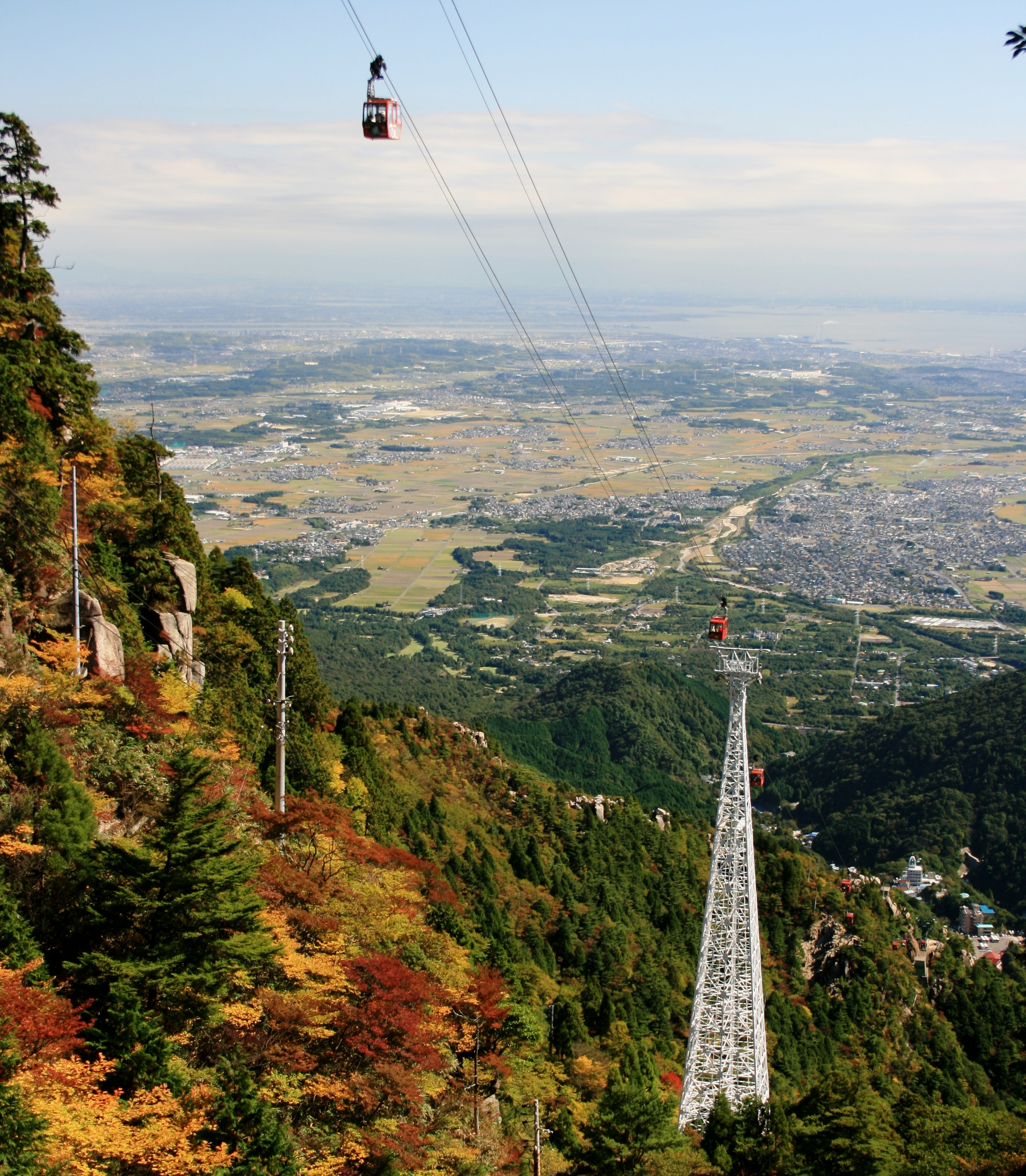
- Gozaisho Ropeway
- Yunoyama Onsen
Notable people
- Tomoya Uchida, professional soccer player
- Yuki Nishi, professional baseball player
- Takuma Asano, professional soccer player
References
- "Komono town official statistics" (in Japanese). Japan.
- Komono climate data
- Komono population statistics
External links
![]() Media related to Komono, Mie at Wikimedia Commons
Media related to Komono, Mie at Wikimedia Commons
- Komono official website (in Japanese)
Tsu (capital) | ||
| Special city | ||
| Cities | ||
| Districts | ||
List of mergers in Mie Prefecture | ||
Authority control | |
|---|---|
| General | |
| National libraries | |
На других языках
- [en] Komono
[ru] Комоно
Комоно (яп. 菰野町 Комоно-тё:) — посёлок в Японии, находящийся в уезде Миэ префектуры Миэ. Площадь посёлка составляет 106,89 км²[1], население — 40 333 человека (1 июня 2014)[2], плотность населения — 377,33 чел./км².Другой контент может иметь иную лицензию. Перед использованием материалов сайта WikiSort.org внимательно изучите правила лицензирования конкретных элементов наполнения сайта.
WikiSort.org - проект по пересортировке и дополнению контента Википедии