world.wikisort.org - Japan
Agano (阿賀野市, Agano-shi) is a city located in Niigata Prefecture, Japan. As of 1 July 2019[update], the city had an estimated population of 41,204 in 14,417 households,[1] and a population density of 214 persons per km2. The total area of the city is 192.74 square kilometres (74.42 sq mi).[2]
This article needs additional citations for verification. (May 2017) |
Agano
阿賀野市 | |
|---|---|
City | |
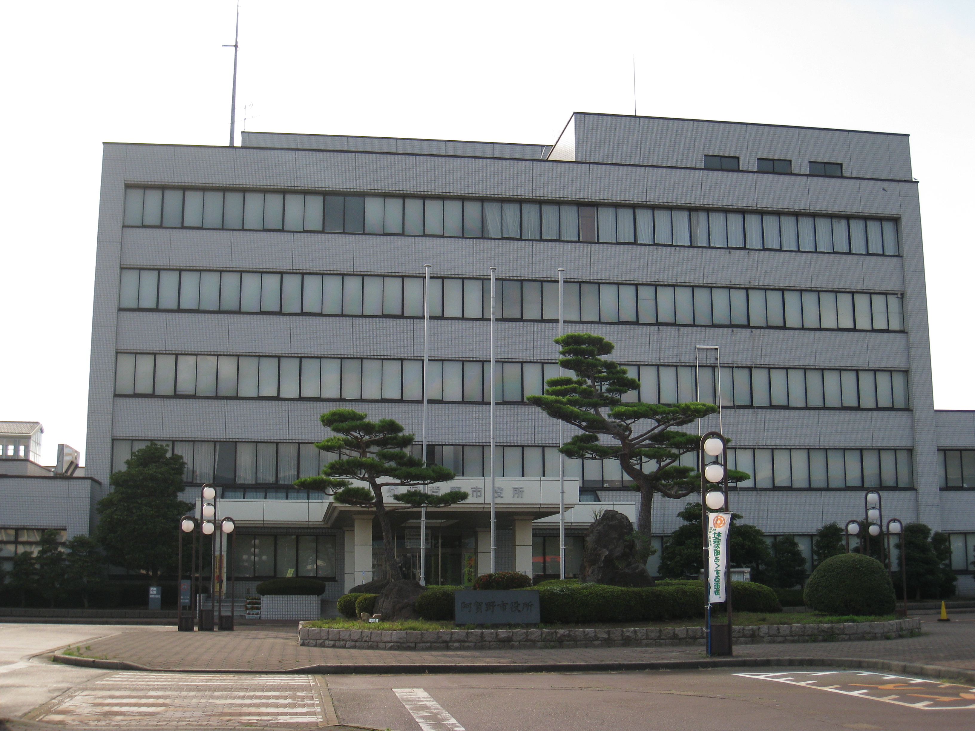
 Central Suibara, center of Agano city | |
 Flag  Seal | |
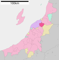 Location of Agano in Niigata Prefecture | |
 Agano | |
| Coordinates: 37°50′4″N 139°13′33.6″E | |
| Country | Japan |
| Region | Chūbu (Kōshin'etsu) (Hokuriku) |
| Prefecture | Niigata |
| Government | |
| • Mayor | Kiyoyoshi Tanaka (since April 2012) |
| Area | |
| • Total | 192.74 km2 (74.42 sq mi) |
| Population (July 1, 2019) | |
| • Total | 41,204 |
| • Density | 210/km2 (550/sq mi) |
| Time zone | UTC+9 (Japan Standard Time) |
| Symbols | |
| • Tree | Sakura |
| • Flower | Cosmos |
| • Bird | Swan |
| Phone number | 0250-62-2510 |
| Address | 10–15 Okayama, Agano-shi, Niigata-ken 959–2092 |
| Website | Official website |
Geography

Agano is located in an inland region of north-central Niigata Prefecture. As the city name implies, the Agano River flows through the west side of the city. The highest elevation is the summit of Mount Gozu at 912 meters. Approximately one third of the city area is covered in mountains and forests, and slightly over one third is farmland.
Surrounding municipalities
Climate
Agano has a Humid climate (Köppen Cfa) characterized by warm, wet summers and cold winters with heavy snowfall. The average annual temperature in Agano is 13.2 °C. The average annual rainfall is 1874 mm with September as the wettest month. The temperatures are highest on average in August, at around 24.6 °C, and lowest in January, at around 1.4 °C.[3]
Demographics
Per Japanese census data,[4] the population of Agano was relatively stable throughout the late 20th century but has declined in the 21st.
| Year | Pop. | ±% |
|---|---|---|
| 1970 | 47,582 | — |
| 1980 | 47,490 | −0.2% |
| 1990 | 48,465 | +2.1% |
| 2000 | 48,456 | −0.0% |
| 2010 | 45,560 | −6.0% |
| 2020 | 40,696 | −10.7% |
History


The area of present-day Agano was part of ancient Echigo Province. During the Edo period the area was divided between territories controlled by Shibata Domain, Murakami Domain and tenryō territory held directly by the Tokugawa shogunate. The area was organised as part of Kitakanbara District, Niigata following the Meiji restoration, and the town of Suibara and villages of Yasuda, Kyōgase and Sasakami were established with the creation of the modern municipalities system on April 1, 1889. Yasuda was raised to town status in 1960. The city of Agano was established on April 1, 2004, with the merger of these four municipalities.[2]
Economy

The economy of Agano is dominated by agriculture, including livestock production and cut flowers, but paddy rice remains the dominant crop. In the manufacturing industry, the city has factories for the production of computer related parts manufacturing, food processing, furniture, ceramics and stone products.[2]
Government
Agano has a mayor-council form of government with a directly elected mayor and a unicameral city legislature of 20 members.[5]
Education
Agano has eleven public elementary schools and four public junior high schools operated by the city government. There is one public high school operated by the Niigata Prefectural Board of Education. The prefecture also operates one special education school.[citation needed]
Transportation
Railway
![]() JR East – Uetsu Main Line
JR East – Uetsu Main Line
Highway
 Ban-etsu Expressway – Yasuda IC
 National Route 49
 National Route 290
 National Route 459
 National Route 460
Local attractions
- Lake Hyōko (Ramsar site)
- Mount Gozu
- Yasuda Tile Road (やすだ瓦ロード, Yasuda Kawara Road)
- Gozu onsen area (五頭温泉郷, Gozu onsen gō)
- Deyu onsen (出湯温泉)
- Murasugi onsen (村杉温泉)
- Imaita onsen (今板温泉)
- Suntopia World amusement park (サントピアワールド)
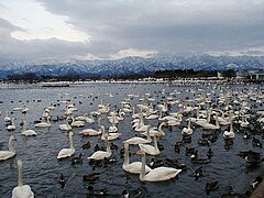 Lake Hyōko with overwintering swans
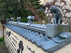 Yasuda Tile Road
 Deyu Onsen
 Suntopia World


Local foods
- Sasa-dango (笹団子): mochi dango balls filled with red bean paste, seasoned with mugwort and wrapped in bamboo leaves.
- Poppo-yaki (ぽっぽ焼き): steamed bread flavored with brown sugar.
- Yasuda yogurt (ヤスダヨーグルト)
- Sankaku aburaage (三角油揚)
- Swan Lake beer (スワンレイクビール)
- Hakuryū sake (白龍)
- Shimbo konnyaku (新保こんにゃく)
Notable people from Agano, Niigata
- Bunji Miura, Japanese painter
- Eishiro Saito, Japanese businessman
- Kazuyuki Sekiguchi, Japanese musician and bassist (Southern All Stars)
- Tomoaki Seino, Japanese former football player
References
- Agano city official statistics(in Japanese)
- Agano city official profile (in Japanese)
- Agano climate data
- Agano population statistics
- http://www.city.agano.niigata.jp/site/gikai/ Agano City Assembly official website](in Japanese)
External links
- Official Website (in Japanese)
- Agano City Tourism Association's Official Website (in English)
| Authority control |
|
|---|
На других языках
- [en] Agano, Niigata
[ru] Агано
Агано (яп. 阿賀野市 Агано-си) — город в Японии, расположенный в северо-восточной части префектуры Ниигата. Основан 1 апреля 2004 года в результате слияния посёлков Ясуда, Суйбара и сёл Кёгасио и Сасаками уезда Китакамбара. Площадь города составляет 192,72 км²[1], население — 43 893 человека (1 августа 2014)[2], плотность населения — 227,76 чел./км².Другой контент может иметь иную лицензию. Перед использованием материалов сайта WikiSort.org внимательно изучите правила лицензирования конкретных элементов наполнения сайта.
WikiSort.org - проект по пересортировке и дополнению контента Википедии