world.wikisort.org - France
Étrépagny (French pronunciation: [etʁepaɲi]) is a commune in the Eure department in the Normandy region in northern France.
Étrépagny | |
|---|---|
Commune | |
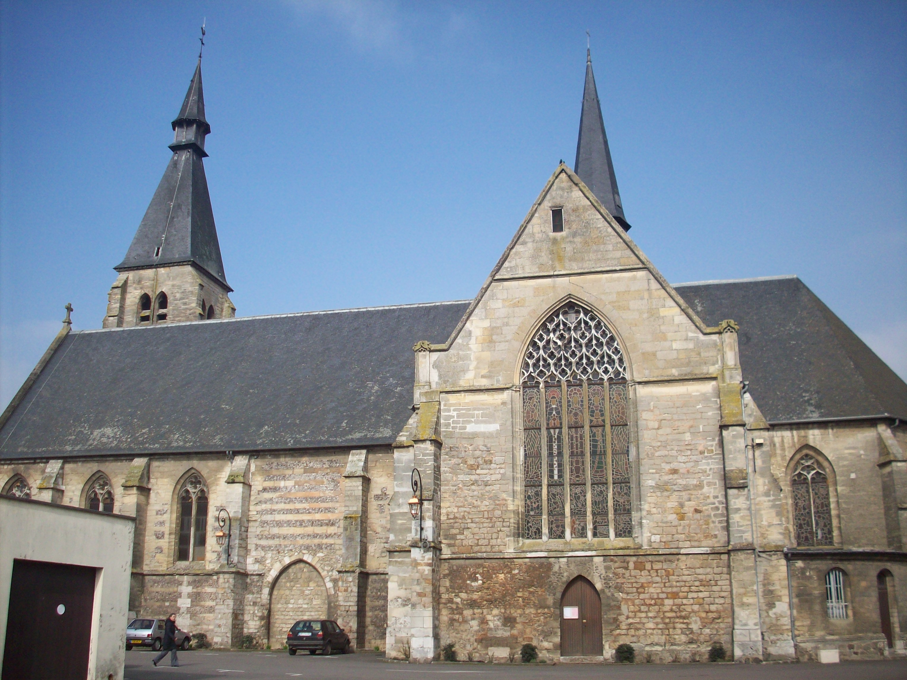 The church in Étrépagny | |
 Coat of arms | |
Location of Étrépagny  | |
 Étrépagny  Étrépagny | |
| Coordinates: 49°18′24″N 1°36′44″E | |
| Country | France |
| Region | Normandy |
| Department | Eure |
| Arrondissement | Les Andelys |
| Canton | Gisors |
| Government | |
| • Mayor (2020–2026) | Frédéric Cailliet |
| Area 1 | 20.38 km2 (7.87 sq mi) |
| Population | 3,730 |
| • Density | 180/km2 (470/sq mi) |
| Time zone | UTC+01:00 (CET) |
| • Summer (DST) | UTC+02:00 (CEST) |
| INSEE/Postal code | 27226 /27150 |
| Elevation | 74–134 m (243–440 ft) (avg. 104 m or 341 ft) |
| 1 French Land Register data, which excludes lakes, ponds, glaciers > 1 km2 (0.386 sq mi or 247 acres) and river estuaries. | |
Population
| Year | Pop. | ±% |
|---|---|---|
| 1962 | 2,501 | — |
| 1968 | 2,637 | +5.4% |
| 1975 | 3,074 | +16.6% |
| 1982 | 3,151 | +2.5% |
| 1990 | 3,671 | +16.5% |
| 1999 | 3,553 | −3.2% |
| 2008 | 3,676 | +3.5% |
International relations
Since 1989, the town has been twinned with the Irish town of Trim which has a significant Norman heritage.
See also
References
- "Populations légales 2019". The National Institute of Statistics and Economic Studies. 29 December 2021.
| Wikimedia Commons has media related to Étrépagny. |
This Eure geographical article is a stub. You can help Wikipedia by expanding it. |
На других языках
- [en] Étrépagny
[es] Étrépagny
Étrépagny ( e.tʁe.pa.ɲi (?·i)) es una localidad y comuna francesa situada en la región de Normandía, departamento de Eure, en el distrito de Les Andelys. Es el chef-lieu del cantón homónimo.[ru] Этрепаньи
Этрепаньи (фр. Étrépagny) — коммуна на севере Франции, регион Нормандия, департамент Эр, округ Лез-Андели, кантон Жизор, в 48 км к юго-востоку от Руана и в 83 км к северо-западу от Парижа.Текст в блоке "Читать" взят с сайта "Википедия" и доступен по лицензии Creative Commons Attribution-ShareAlike; в отдельных случаях могут действовать дополнительные условия.
Другой контент может иметь иную лицензию. Перед использованием материалов сайта WikiSort.org внимательно изучите правила лицензирования конкретных элементов наполнения сайта.
Другой контент может иметь иную лицензию. Перед использованием материалов сайта WikiSort.org внимательно изучите правила лицензирования конкретных элементов наполнения сайта.
2019-2026
WikiSort.org - проект по пересортировке и дополнению контента Википедии
WikiSort.org - проект по пересортировке и дополнению контента Википедии