world.wikisort.org - France
Étain (French pronunciation: [etɛ̃] (![]() listen)) is a commune in the Meuse department in Grand Est in north-eastern France.
listen)) is a commune in the Meuse department in Grand Est in north-eastern France.
Étain | |
|---|---|
Commune | |
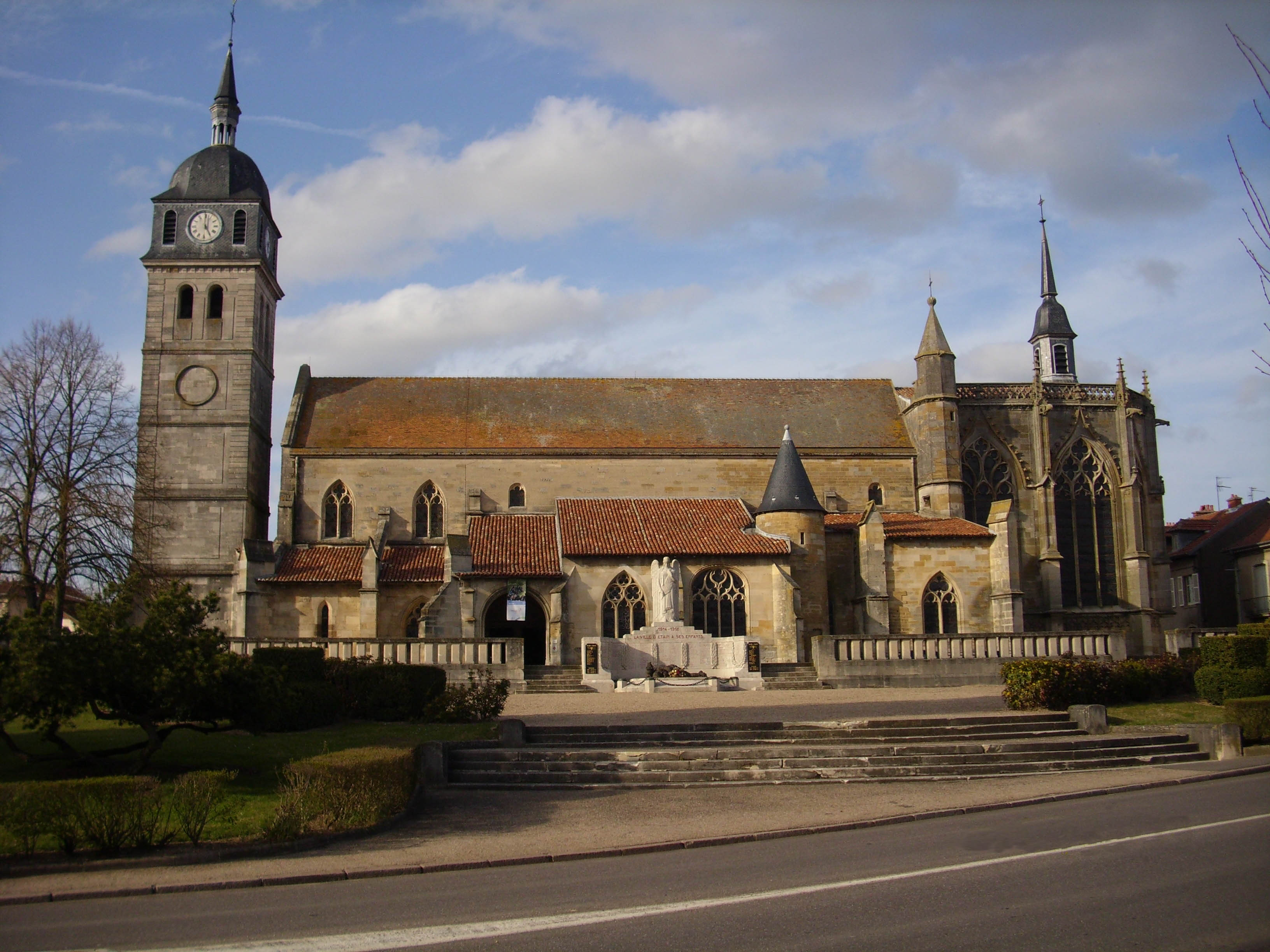 St. Martin's Church | |
 Coat of arms | |
Location of Étain  | |
 Étain  Étain | |
| Coordinates: 49°12′58″N 5°37′48″E | |
| Country | France |
| Region | Grand Est |
| Department | Meuse |
| Arrondissement | Verdun |
| Canton | Étain |
| Intercommunality | Pays d'Étain |
| Government | |
| • Mayor (2020–2026) | Rémy Andrin[1] |
| Area 1 | 19.64 km2 (7.58 sq mi) |
| Population | 3,507 |
| • Density | 180/km2 (460/sq mi) |
| Time zone | UTC+01:00 (CET) |
| • Summer (DST) | UTC+02:00 (CEST) |
| INSEE/Postal code | 55181 /55400 |
| Elevation | 196–236 m (643–774 ft) (avg. 210 m or 690 ft) |
| 1 French Land Register data, which excludes lakes, ponds, glaciers > 1 km2 (0.386 sq mi or 247 acres) and river estuaries. | |
Geography
Étain is situated on the river Orne, approximately 19 km (12 mi) to the east north east of Verdun.
History

The town, which dates from the late 7th/early 8th century, does not have any natural defense features so has fallen to the Prussians and Russians in 1815 right after the Battle of Waterloo, and to the Germans in 1870, 1914 and again in 1940.
See also
- Communes of the Meuse department
- Étain-Rouvres Air Base
- Petitcollin
- Route nationale 18
- Sidi Brahim Barracks
References
- "Répertoire national des élus: les maires" (in French). data.gouv.fr, Plateforme ouverte des données publiques françaises. 4 May 2022.
- "Populations légales 2019". The National Institute of Statistics and Economic Studies. 29 December 2021.
External links
Wikimedia Commons has media related to Etain, Meuse.
Authority control | |
|---|---|
| General |
|
| National libraries | |
| Other |
|
This Meuse geographical article is a stub. You can help Wikipedia by expanding it. |
На других языках
[de] Étain
Vorlage:Infobox Gemeinde in Frankreich/Wartung/abweichendes Wappen in Wikidata- [en] Étain, Meuse
[es] Étain
Étain es una población y comuna francesa, en la región de Lorena, departamento de Mosa, en el Distrito de Verdún. Es el chef-lieu y mayor población del cantón de Étain.Текст в блоке "Читать" взят с сайта "Википедия" и доступен по лицензии Creative Commons Attribution-ShareAlike; в отдельных случаях могут действовать дополнительные условия.
Другой контент может иметь иную лицензию. Перед использованием материалов сайта WikiSort.org внимательно изучите правила лицензирования конкретных элементов наполнения сайта.
Другой контент может иметь иную лицензию. Перед использованием материалов сайта WikiSort.org внимательно изучите правила лицензирования конкретных элементов наполнения сайта.
2019-2026
WikiSort.org - проект по пересортировке и дополнению контента Википедии
WikiSort.org - проект по пересортировке и дополнению контента Википедии