world.wikisort.org - France
Wattwiller (Alemannic German: Wǎttwillr; German: Wattweiler) is a commune in the Haut-Rhin department of the Grand Est region, which lies in the north-eastern part of France.
Wattwiller
Wǎttwillr | |
|---|---|
Commune | |
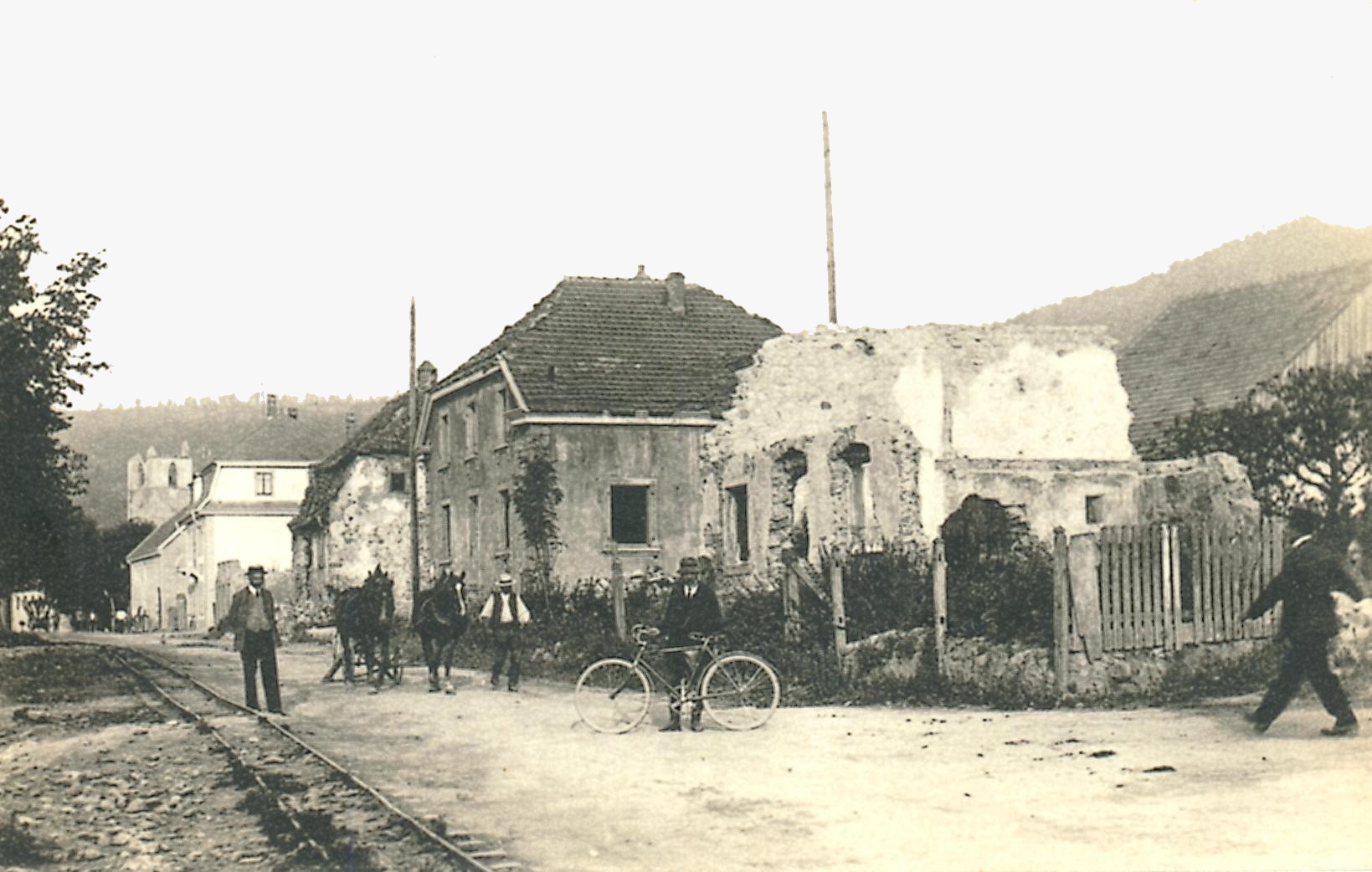
 A general view of Wattwiller | |
 Coat of arms | |
Location of Wattwiller  | |
 Wattwiller  Wattwiller | |
| Coordinates: 47°50′13″N 7°10′51″E | |
| Country | France |
| Region | Grand Est |
| Department | Haut-Rhin |
| Arrondissement | Thann-Guebwiller |
| Canton | Cernay |
| Intercommunality | Thann-Cernay |
| Government | |
| • Mayor (2020–2026) | Mathieu Ermel |
| Area 1 | 13.61 km2 (5.25 sq mi) |
| Population | 1,663 |
| • Density | 120/km2 (320/sq mi) |
| Time zone | UTC+01:00 (CET) |
| • Summer (DST) | UTC+02:00 (CEST) |
| INSEE/Postal code | 68359 /68700 |
| Elevation | 266–1,121 m (873–3,678 ft) (avg. 360 m or 1,180 ft) |
| 1 French Land Register data, which excludes lakes, ponds, glaciers > 1 km2 (0.386 sq mi or 247 acres) and river estuaries. | |
Located near the Vosges mountain rocky spur of Hartmannswillerkopf, Wattwiller was a strategic village in the Alsace, and suffered attacks in or near it during the Thirty Years' War and in both World Wars.
Nowadays Wattwiller is best known for its mineral water.
 Mineral water plant

Population
| Year | Pop. | ±% p.a. |
|---|---|---|
| 1968 | 1,020 | — |
| 1975 | 1,135 | +1.54% |
| 1982 | 1,186 | +0.63% |
| 1990 | 1,506 | +3.03% |
| 1999 | 1,593 | +0.63% |
| 2007 | 1,721 | +0.97% |
| 2012 | 1,731 | +0.12% |
| 2017 | 1,634 | −1.15% |
| Source: INSEE[2] | ||
See also
References
- "Populations légales 2019". The National Institute of Statistics and Economic Studies. 29 December 2021.
- Population en historique depuis 1968, INSEE
Wikimedia Commons has media related to Wattwiller.
Authority control | |
|---|---|
| General |
|
| National libraries | |
This Haut-Rhin geographical article is a stub. You can help Wikipedia by expanding it. |
На других языках
- [en] Wattwiller
[es] Wattwiller
Wattwiller es una localidad y comuna francesa, situada en el departamento de Alto Rin, en la región de Alsacia.[3][ru] Ваттвиллер
Ваттвиллер (фр. Wattwiller) — коммуна на северо-востоке Франции в регионе Гранд-Эст[1] (бывший Эльзас — Шампань — Арденны — Лотарингия), департамент Верхний Рейн, округ Тан — Гебвиллер, кантон Серне[2]. До марта 2015 года коммуна в составе кантона Серне административно входила в округ Тан.Текст в блоке "Читать" взят с сайта "Википедия" и доступен по лицензии Creative Commons Attribution-ShareAlike; в отдельных случаях могут действовать дополнительные условия.
Другой контент может иметь иную лицензию. Перед использованием материалов сайта WikiSort.org внимательно изучите правила лицензирования конкретных элементов наполнения сайта.
Другой контент может иметь иную лицензию. Перед использованием материалов сайта WikiSort.org внимательно изучите правила лицензирования конкретных элементов наполнения сайта.
2019-2026
WikiSort.org - проект по пересортировке и дополнению контента Википедии
WikiSort.org - проект по пересортировке и дополнению контента Википедии