world.wikisort.org - France
Guillestre (French pronunciation: [ɡijɛstʁ]; Vivaro-Alpine: Guilhèstra) is a commune in the Hautes-Alpes department in southeastern France.
This article may be expanded with text translated from the corresponding article in French. (July 2014) Click [show] for important translation instructions.
|
Guillestre | |
|---|---|
Commune | |
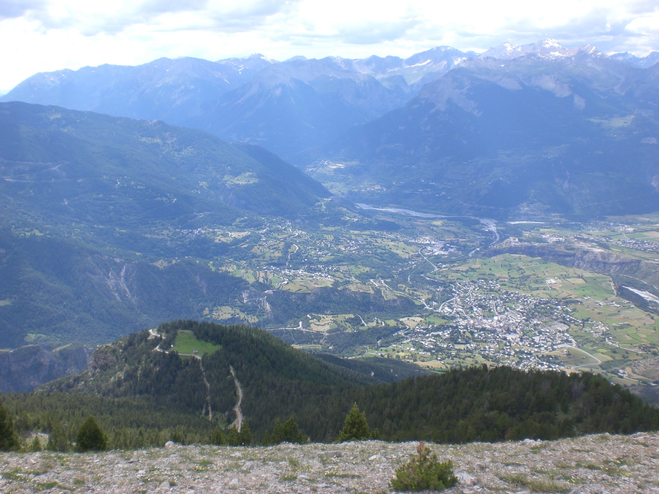 A panoramic view of Guillestre to the right, and the village of Risoul, left | |
 Coat of arms | |
Location of Guillestre  | |
 Guillestre  Guillestre | |
| Coordinates: 44°40′N 6°39′E | |
| Country | France |
| Region | Provence-Alpes-Côte d'Azur |
| Department | Hautes-Alpes |
| Arrondissement | Briançon |
| Canton | Guillestre |
| Government | |
| • Mayor (2020–2026) | Christine Portevin[1][2] |
| Area 1 | 51.29 km2 (19.80 sq mi) |
| Population | 2,312 |
| • Density | 45/km2 (120/sq mi) |
| Time zone | UTC+01:00 (CET) |
| • Summer (DST) | UTC+02:00 (CEST) |
| INSEE/Postal code | 05065 /05600 |
| Elevation | 867–2,694 m (2,844–8,839 ft) (avg. 1,050 m or 3,440 ft) |
| 1 French Land Register data, which excludes lakes, ponds, glaciers > 1 km2 (0.386 sq mi or 247 acres) and river estuaries. | |
Geography
The village lies in the northwestern part of the commune, on the left bank of the Chagne, a stream, tributary of the Guil, which forms all of the commune's northern border, before flowing into the Durance, which forms part of the commune's western border. The village also lies high within the alps of France.
Population
| Year | Pop. | ±% p.a. |
|---|---|---|
| 1968 | 1,479 | — |
| 1975 | 1,466 | −0.13% |
| 1982 | 1,937 | +4.06% |
| 1990 | 2,000 | +0.40% |
| 1999 | 2,211 | +1.12% |
| 2007 | 2,273 | +0.35% |
| 2012 | 2,367 | +0.81% |
| 2017 | 2,344 | −0.20% |
| Source: INSEE[4] | ||
See also
References
- Christine Portevin elue nouvelle maire de Guillestre, dici.fr, 24 May 2020
- "Répertoire national des élus: les maires" (in French). data.gouv.fr, Plateforme ouverte des données publiques françaises. 13 September 2022.
- "Populations légales 2019". The National Institute of Statistics and Economic Studies. 29 December 2021.
- Population en historique depuis 1968, INSEE
Wikimedia Commons has media related to Guillestre.
This Hautes-Alpes geographical article is a stub. You can help Wikipedia by expanding it. |
На других языках
[de] Guillestre
Guillestre [ɡijɛstʁ] ist eine französische Gemeinde mit 2.312 Einwohnern (Stand 1. Januar 2019) in den französischen Alpen im Département Hautes-Alpes.- [en] Guillestre
[ru] Гийестр
Гийе́стр (фр. Guillestre, окс. Guilhèstra) — коммуна во Франции, находится в регионе Прованс — Альпы — Лазурный Берег. Департамент коммуны — Верхние Альпы. Главный город кантона Гийестр. Округ коммуны — Бриансон.Текст в блоке "Читать" взят с сайта "Википедия" и доступен по лицензии Creative Commons Attribution-ShareAlike; в отдельных случаях могут действовать дополнительные условия.
Другой контент может иметь иную лицензию. Перед использованием материалов сайта WikiSort.org внимательно изучите правила лицензирования конкретных элементов наполнения сайта.
Другой контент может иметь иную лицензию. Перед использованием материалов сайта WikiSort.org внимательно изучите правила лицензирования конкретных элементов наполнения сайта.
2019-2026
WikiSort.org - проект по пересортировке и дополнению контента Википедии
WikiSort.org - проект по пересортировке и дополнению контента Википедии