world.wikisort.org - France
Firminy (French pronunciation: [fiʁmini]; Occitan: Frominiu) is a commune in the Loire department in central France.
Firminy | |
|---|---|
Commune | |
 | |
 Coat of arms | |
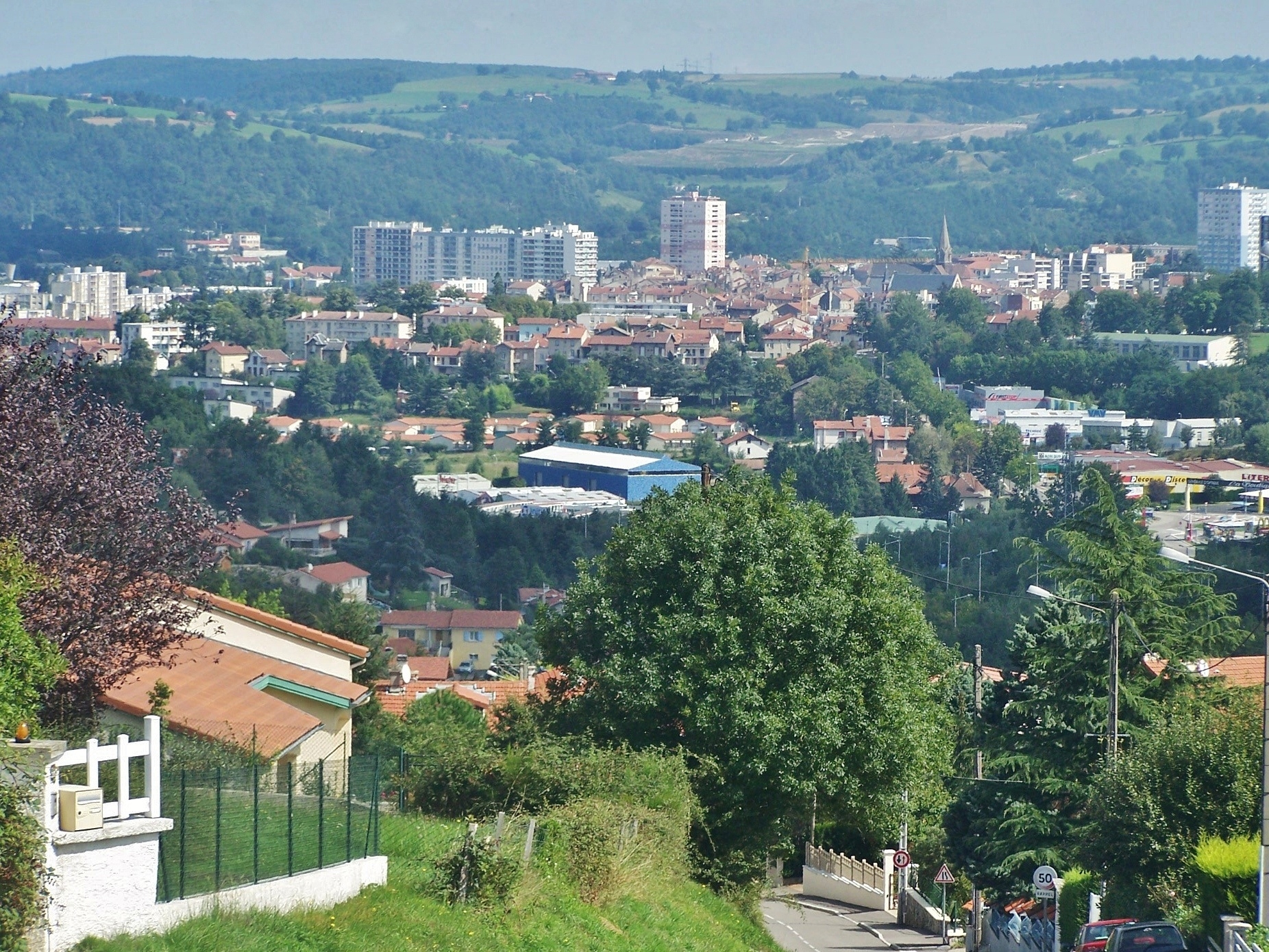
Location of Firminy  | |
 Firminy  Firminy | |
| Coordinates: 45°23′20″N 4°17′16″E | |
| Country | France |
| Region | Auvergne-Rhône-Alpes |
| Department | Loire |
| Arrondissement | Saint-Étienne |
| Canton | Firminy |
| Intercommunality | Saint-Étienne Métropole |
| Government | |
| • Mayor (2020–2026) | Julien Luya[1] |
| Area 1 | 10.45 km2 (4.03 sq mi) |
| Population | 16,901 |
| • Density | 1,600/km2 (4,200/sq mi) |
| Time zone | UTC+01:00 (CET) |
| • Summer (DST) | UTC+02:00 (CEST) |
| INSEE/Postal code | 42095 /42700 |
| Elevation | 446–800 m (1,463–2,625 ft) (avg. 468 m or 1,535 ft) |
| 1 French Land Register data, which excludes lakes, ponds, glaciers > 1 km2 (0.386 sq mi or 247 acres) and river estuaries. | |
It lies on the river Ondaine, 13 km southwest of Saint-Étienne by rail.
History
The ancient name of the town was Firminiaco or Firminiacus (lit. "place of Firmin"). The name was first recorded in a 971 charter by the King of Burgundy.
Firminy had historically important coalmines known since the 14th century and extensive manufactures of iron, steel, and aluminum goods, including railway material, machinery and cannon. Fancy woolen hosiery was also manufactured.[3]
Population
|
| ||||||||||||||||||||||||||||||||||||||||||||||||||||||||||||||||||||||||||||||||||||||||||||||||||||||||||||||||||
| Source: EHESS[4] and INSEE (1968-2017)[5] | |||||||||||||||||||||||||||||||||||||||||||||||||||||||||||||||||||||||||||||||||||||||||||||||||||||||||||||||||||
Sights
Two historic churches from the 12th and 16th centuries are located here. The architect Le Corbusier designed a group of modern buildings, called "Firminy Vert", which includes the Saint-Pierre Church, a stadium, a cultural center, and an Unité d'Habitation.
See also
- Communes of the Loire department
- Maurice Debesse
References
- "Répertoire national des élus: les maires". data.gouv.fr, Plateforme ouverte des données publiques françaises (in French). 2 December 2020.
- "Populations légales 2019". The National Institute of Statistics and Economic Studies. 29 December 2021.
- One or more of the preceding sentences incorporates text from a publication now in the public domain: Chisholm, Hugh, ed. (1911). "Firminy". Encyclopædia Britannica. Vol. 10 (11th ed.). Cambridge University Press. p. 424.
- Des villages de Cassini aux communes d'aujourd'hui: Commune data sheet Firminy, EHESS. (in French)
- Population en historique depuis 1968, INSEE
External links
- Official website (in French)
Authority control | |
|---|---|
| General | |
| National libraries | |
| Other | |
This Loire geographical article is a stub. You can help Wikipedia by expanding it. |
На других языках
[de] Firminy
Firminy ist eine Gemeinde und Industriestadt mit 16.901 Einwohnern (Stand 1. Januar 2019) bei Saint-Étienne im Département Loire in der Region Auvergne-Rhône-Alpes. Die Stadt liegt am Fluss Ondaine, einem kleinen Nebenfluss der oberen Loire.- [en] Firminy
Другой контент может иметь иную лицензию. Перед использованием материалов сайта WikiSort.org внимательно изучите правила лицензирования конкретных элементов наполнения сайта.
WikiSort.org - проект по пересортировке и дополнению контента Википедии