world.wikisort.org - France
Digoin (French pronunciation: [diɡwɛ̃]) is a commune in the Saône-et-Loire department in the region of Bourgogne-Franche-Comté in eastern France.
Digoin | |
|---|---|
Commune | |
 Water bridge on the Loire near Digoin | |
 Coat of arms | |
Location of Digoin  | |
 Digoin  Digoin | |
| Coordinates: 46°28′58″N 3°58′53″E | |
| Country | France |
| Region | Bourgogne-Franche-Comté |
| Department | Saône-et-Loire |
| Arrondissement | Charolles |
| Canton | Digoin |
| Government | |
| • Mayor (2020–2026) | David Beme[1] |
| Area 1 | 34.72 km2 (13.41 sq mi) |
| Population | 7,741 |
| • Density | 220/km2 (580/sq mi) |
| Time zone | UTC+01:00 (CET) |
| • Summer (DST) | UTC+02:00 (CEST) |
| INSEE/Postal code | 71176 /71160 |
| Elevation | 222–306 m (728–1,004 ft) (avg. 233 m or 764 ft) |
| 1 French Land Register data, which excludes lakes, ponds, glaciers > 1 km2 (0.386 sq mi or 247 acres) and river estuaries. | |
The junction of the Canal du Centre and the Canal latéral à la Loire is near Digoin.
Geography
The river Bourbince flows into the Arroux in Digoin, while the Arroux flows into the Loire near Digoin.
Population
| Year | Pop. | ±% p.a. |
|---|---|---|
| 1968 | 10,050 | — |
| 1975 | 11,093 | +1.42% |
| 1982 | 11,008 | −0.11% |
| 1990 | 10,032 | −1.15% |
| 1999 | 8,947 | −1.26% |
| 2007 | 8,493 | −0.65% |
| 2012 | 8,119 | −0.90% |
| 2017 | 7,817 | −0.76% |
| Source: INSEE[3] | ||
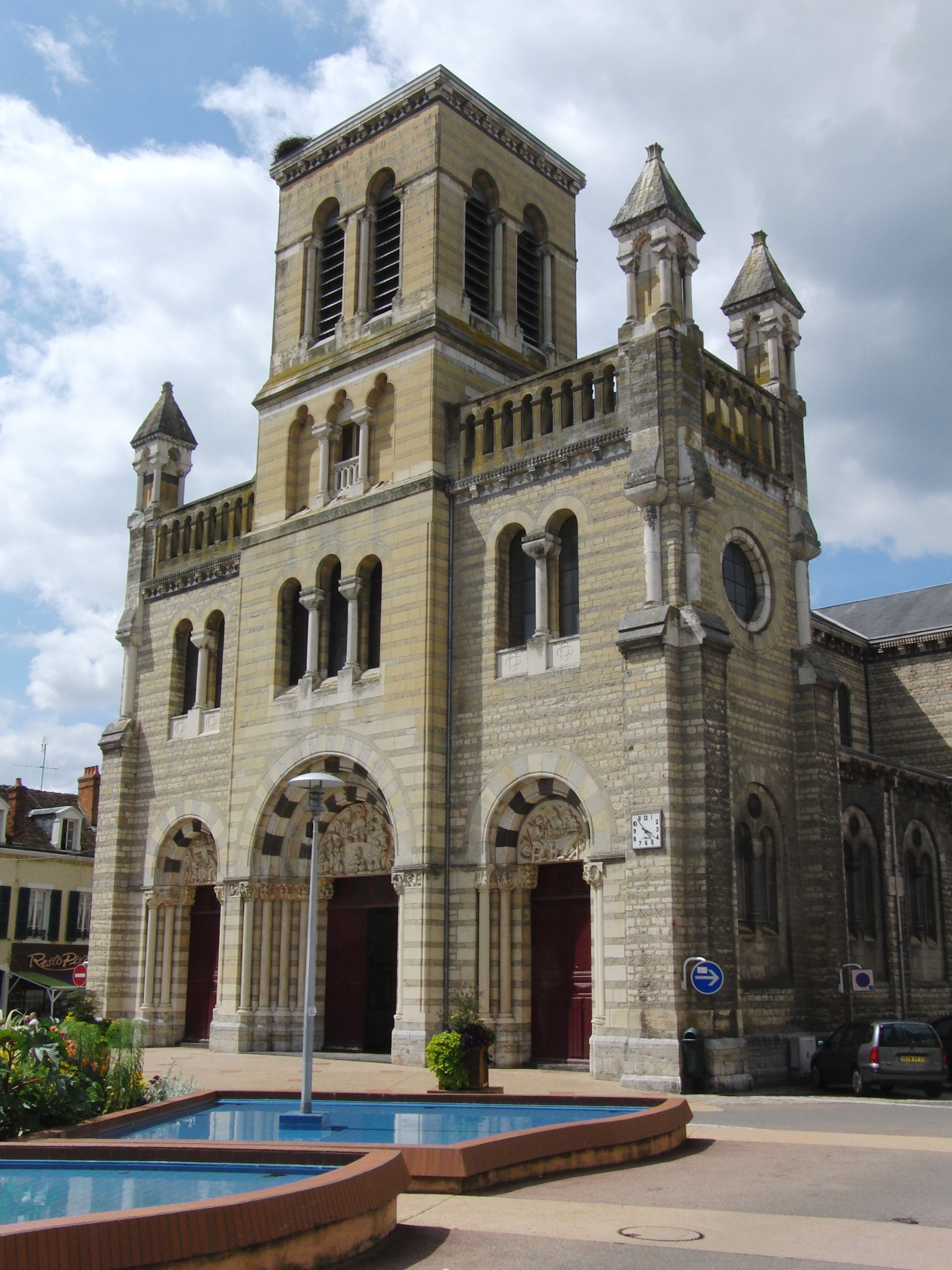
Sights
Personalities
- Adolphe Piot (c. 1825 – c. 1910), French painter
- Alain Robert (born 1962), French rock climber and urban climber
- Étienne Maynaud de Bizefranc de Laveaux (1751–1828), French general and Governor of Saint-Domingue
See also
References
- "Répertoire national des élus: les maires". data.gouv.fr, Plateforme ouverte des données publiques françaises (in French). 2 December 2020.
- "Populations légales 2019". The National Institute of Statistics and Economic Studies. 29 December 2021.
- Population en historique depuis 1968, INSEE
External links
Wikimedia Commons has media related to Digoin.
Authority control | |
|---|---|
| General |
|
| National libraries | |
This Saône-et-Loire geographical article is a stub. You can help Wikipedia by expanding it. |
На других языках
[de] Digoin
Digoin ist eine französische Kleinstadt mit 7741 Einwohnern (Stand 1. Januar 2019) im Département Saône-et-Loire in der Region Bourgogne-Franche-Comté, unmittelbar an der Grenze zur Nachbarregion Auvergne-Rhône-Alpes.- [en] Digoin
[ru] Дигуэн
Дигуэн (фр. Digoin) — город во Франции.Текст в блоке "Читать" взят с сайта "Википедия" и доступен по лицензии Creative Commons Attribution-ShareAlike; в отдельных случаях могут действовать дополнительные условия.
Другой контент может иметь иную лицензию. Перед использованием материалов сайта WikiSort.org внимательно изучите правила лицензирования конкретных элементов наполнения сайта.
Другой контент может иметь иную лицензию. Перед использованием материалов сайта WikiSort.org внимательно изучите правила лицензирования конкретных элементов наполнения сайта.
2019-2026
WikiSort.org - проект по пересортировке и дополнению контента Википедии
WikiSort.org - проект по пересортировке и дополнению контента Википедии