world.wikisort.org - France
Cocherel (French pronunciation: [kɔʃʁɛl] ( listen)) is a commune in the Seine-et-Marne department in the Île-de-France region in north-central France.[3]
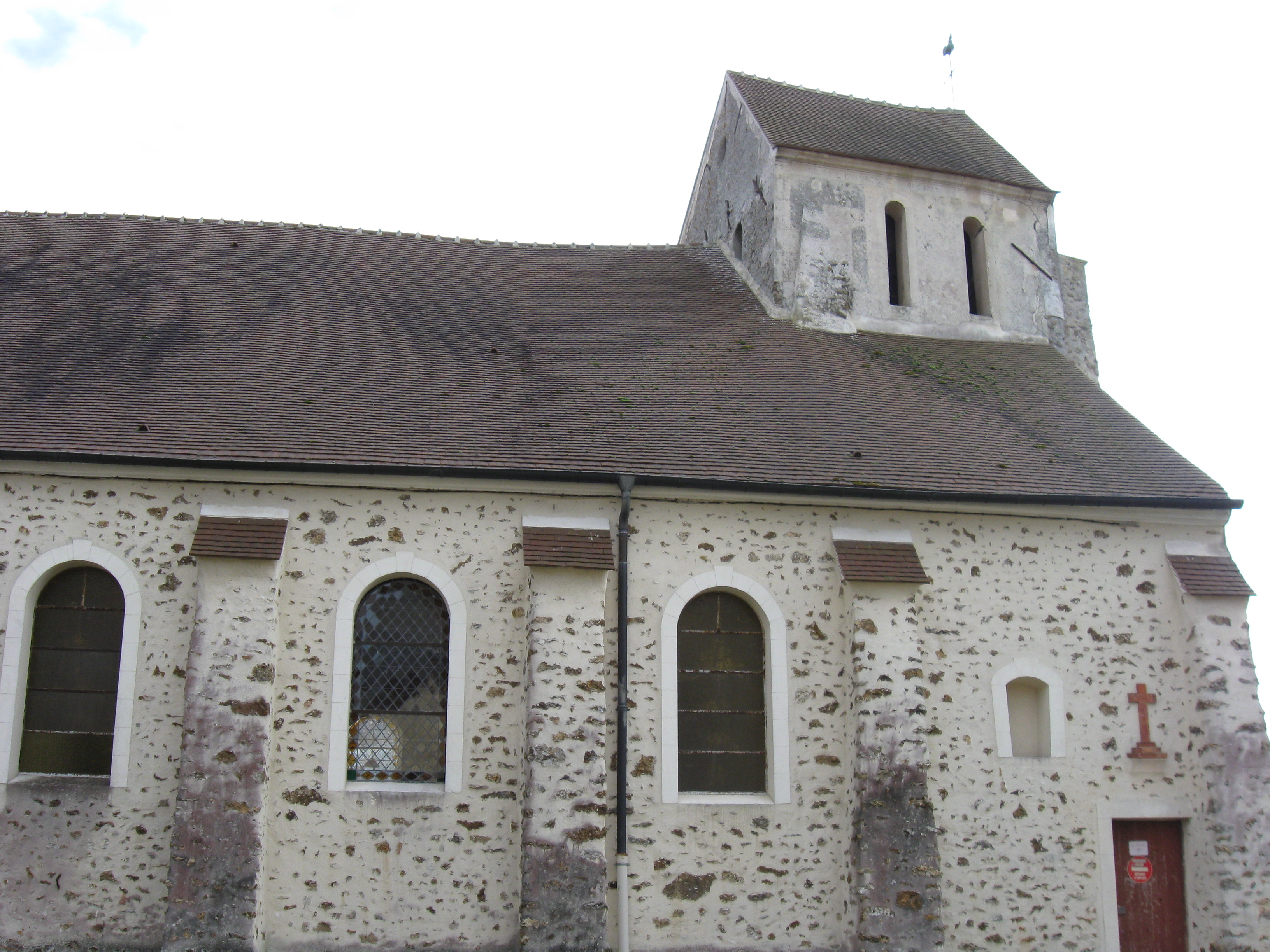
Cocherel | |
|---|---|
Commune | |
 The town hall in Cocherel | |
Location of Cocherel  | |
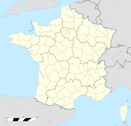  Cocherel 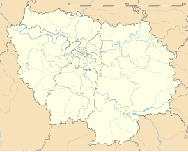 Cocherel | |
| Coordinates: 49°01′16″N 3°06′07″E | |
| Country | France |
| Region | Île-de-France |
| Department | Seine-et-Marne |
| Arrondissement | Meaux |
| Canton | La Ferté-sous-Jouarre |
| Intercommunality | CC Pays de l'Ourcq |
| Government | |
| • Mayor (2020–2026) | Pierre Eelbode[1] |
| Area 1 | 8.27 km2 (3.19 sq mi) |
| Population | 626 |
| • Density | 76/km2 (200/sq mi) |
| Time zone | UTC+01:00 (CET) |
| • Summer (DST) | UTC+02:00 (CEST) |
| INSEE/Postal code | 77120 /77440 |
| Elevation | 97–209 m (318–686 ft) |
| 1 French Land Register data, which excludes lakes, ponds, glaciers > 1 km2 (0.386 sq mi or 247 acres) and river estuaries. | |
History
Cocherel and Crépoil (Cocherellium, Crispolium) formed two distinct parishes before 1790 and until 1842 two distinct communes. A royal ordinance of 11 December 1887 united them in a single unit, the chief place of which was fixed at Cocherel.
Geography
Cocherel is at an altitude that reaches 209 meters near the wood of Montjay. It is, after Saint-Georges, of the commune of Verdot, the highest point of the department of Seine-et-Marne; there is no super-permanent watercourse, but only rivers (la Vanche, Méranne, Plants), which roll rain-water and lead them to the Ourcq river.
See also
References
- "Répertoire national des élus: les maires" (in French). data.gouv.fr, Plateforme ouverte des données publiques françaises. 13 September 2022.
- "Populations légales 2019". The National Institute of Statistics and Economic Studies. 29 December 2021.
- Notice historique et statistique sur le marquisat de la Trousse et ses possessions : Cocherel, Crépoil, Tancrou, Rademont, Vieux-Moulin, etc., et sur la commune d'Ocquerre / Par M. L. Benoist. 1888.
External links

- 1999 Land Use, from IAURIF (Institute for Urban Planning and Development of the Paris-Île-de-France région) (in English)


 | This article related to a Seine-et-Marne location is a stub. You can help Wikipedia by expanding it. |
На других языках
[de] Cocherel
Cocherel ist eine französische Gemeinde mit 626 Einwohnern (Stand: 1. Januar 2019) im Département Seine-et-Marne in der Region Île-de-France. Sie gehört zum Arrondissement Meaux und zum Kanton La Ferté-sous-Jouarre. Die Einwohner werden Cocherellois genannt.- [en] Cocherel
Другой контент может иметь иную лицензию. Перед использованием материалов сайта WikiSort.org внимательно изучите правила лицензирования конкретных элементов наполнения сайта.
WikiSort.org - проект по пересортировке и дополнению контента Википедии